Crystal Lake Topo Map Michigan
To zoom in, hover over the map of Crystal Lake
USGS Topo Map 44086e1 - 1:100,000 scale
| Topo Map Name: | Crystal Lake |
| USGS Topo Quad ID: | 44086e1 |
| Print Size: | ca. 39" wide x 24" high |
| Southeast Coordinates: | 44.5° N latitude / 86° W longitude |
| Map Center Coordinates: | 44.75° N latitude / 86.5° W longitude |
| U.S. States: | MI, WI |
| Filename: | 44086e1.jpg |
| Download Map JPG Image: | Crystal Lake topo map 1:100,000 scale |
| Map Type: | Topographic |
| Topo Series: | 30´x60´ |
| Map Scale: | 1:100,000 |
| Source of Map Images: | United States Geological Survey (USGS) |
| Alternate Map Versions: |
Crystal Lake MI 1984, updated 1985 Download PDF Buy paper map Crystal Lake MI 1984, updated 1991 Download PDF Buy paper map |
1:100,000 Topos surrounding Crystal Lake
Marinette |
Washington Island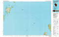 |
Charlevoix |
Sturgeon Bay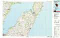 |
Crystal Lake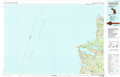 |
Traverse City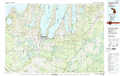 |
Manitowoc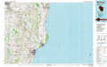 |
Manistee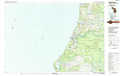 |
Cadillac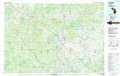 |
> Back to 44086a1 at 1:250,000 scale
> Back to U.S. Topo Maps home
1:24,000 Topo Quads covered by the spatial extent of this 100k map (Crystal Lake)
|
Glen Haven 
|
|||||||
|
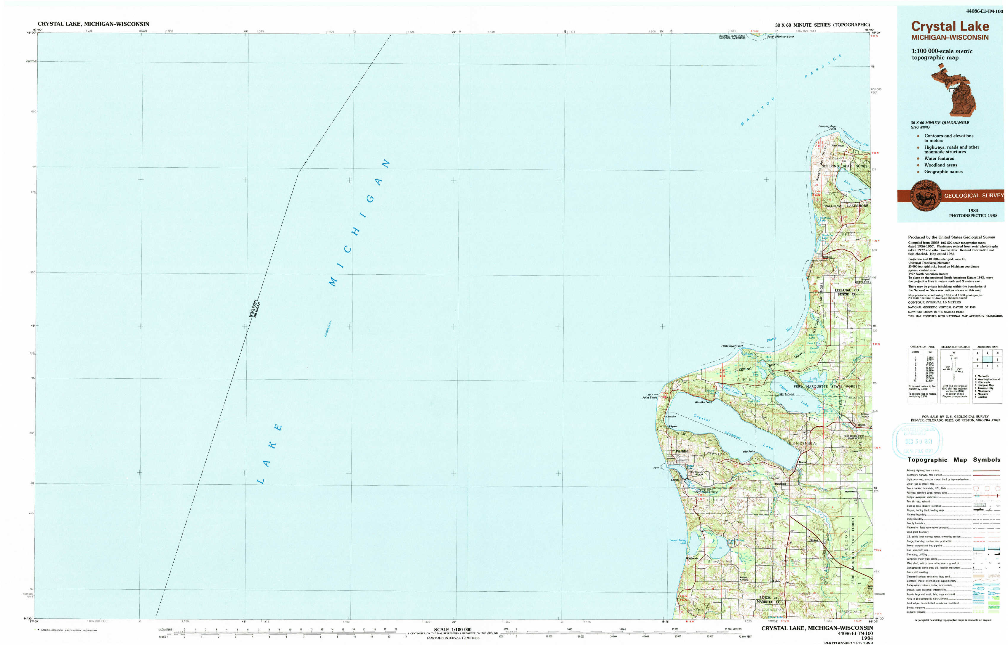
Empire 
|
|||||||
|
Frankfort 
|
Beulah 
|
||||||
|
Elberta 
|
Benzonia 
|