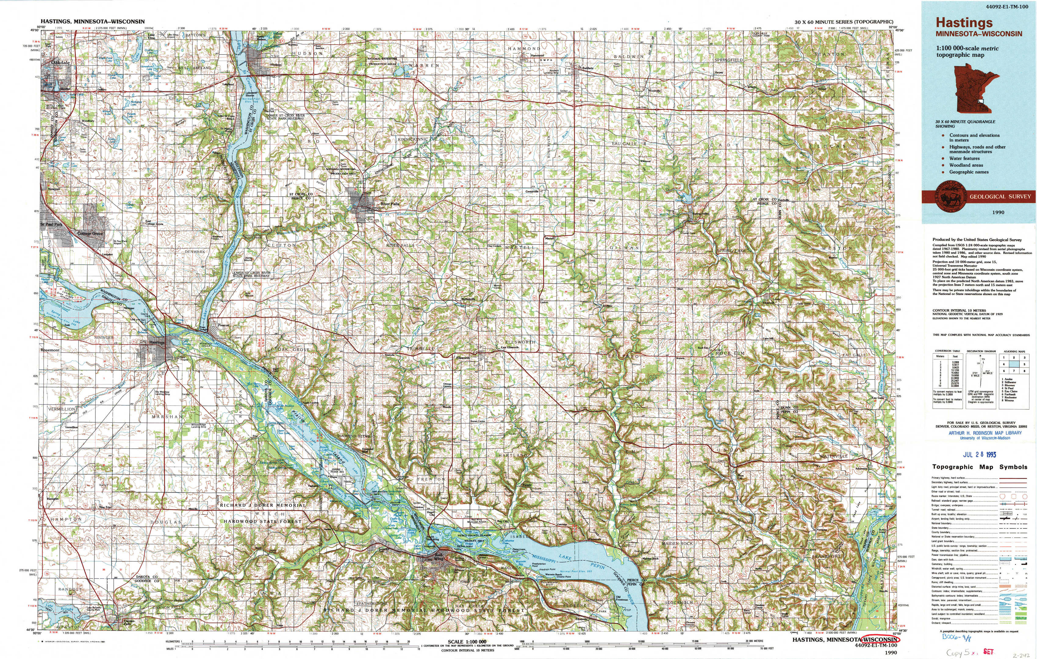
Hastings Topo Map Minnesota
To zoom in, hover over the map of Hastings
USGS Topo Map 44092e1 - 1:100,000 scale
| Topo Map Name: | Hastings |
| USGS Topo Quad ID: | 44092e1 |
| Print Size: | ca. 39" wide x 24" high |
| Southeast Coordinates: | 44.5° N latitude / 92° W longitude |
| Map Center Coordinates: | 44.75° N latitude / 92.5° W longitude |
| U.S. States: | MN, WI |
| Filename: | 44092e1.jpg |
| Download Map JPG Image: | Hastings topo map 1:100,000 scale |
| Map Type: | Topographic |
| Topo Series: | 30´x60´ |
| Map Scale: | 1:100,000 |
| Source of Map Images: | United States Geological Survey (USGS) |
| Alternate Map Versions: |
Hastings MN 1985, updated 1985 Download PDF Buy paper map Hastings MN 1990, updated 1991 Download PDF Buy paper map |
1:100,000 Topos surrounding Hastings
Anoka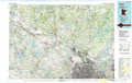 |
Stillwater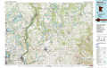 |
Bloomer |
Saint Paul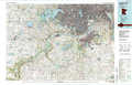 |
Hastings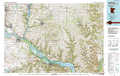 |
Eau Claire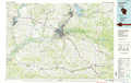 |
Faribault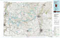 |
Rochester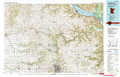 |
Winona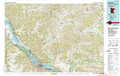 |
> Back to 44092a1 at 1:250,000 scale
> Back to U.S. Topo Maps home
1:24,000 Topo Quads covered by the spatial extent of this 100k map (Hastings)
|
Lake Elmo 
|
Hudson 
|
Northline 
|
Roberts 
|
Baldwin West 
|
Baldwin East 
|
Wilson 
|
Knapp 
|
|
Saint Paul Park 
|
Prescott 
|
River Falls West 
|
River Falls East 
|
Martell 
|
El Paso 
|
Spring Valley 
|
Weston 
|
|
Vermillion 
|
Hastings 
|
Diamond Bluff West 
|
Diamond Bluff East 
|
Ellsworth 
|
Waverly 
|
Plum City 
|
Arkansaw 
|
|
Cannon Falls 
|
Miesville 
|
Welch 
|
Red Wing 
|
Bay City 
|
Maiden Rock 
|
Nerike Hill 
|
Ella 
|