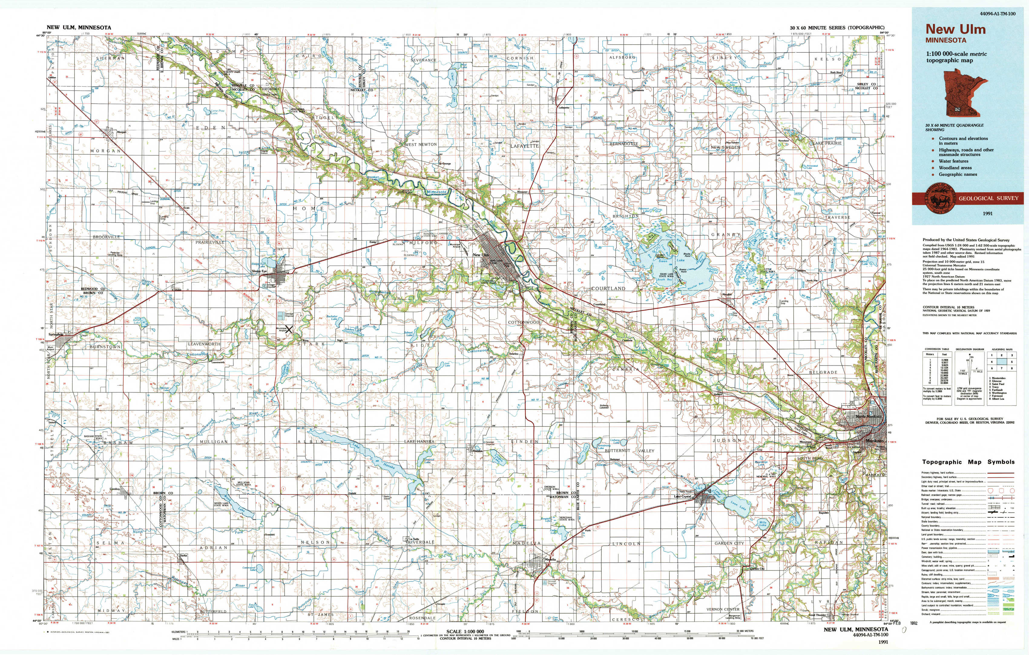
New Ulm Topo Map Minnesota
To zoom in, hover over the map of New Ulm
USGS Topo Map 44094a1 - 1:100,000 scale
| Topo Map Name: | New Ulm |
| USGS Topo Quad ID: | 44094a1 |
| Print Size: | ca. 39" wide x 24" high |
| Southeast Coordinates: | 44° N latitude / 94° W longitude |
| Map Center Coordinates: | 44.25° N latitude / 94.5° W longitude |
| U.S. State: | MN |
| Filename: | 44094a1.jpg |
| Download Map JPG Image: | New Ulm topo map 1:100,000 scale |
| Map Type: | Topographic |
| Topo Series: | 30´x60´ |
| Map Scale: | 1:100,000 |
| Source of Map Images: | United States Geological Survey (USGS) |
| Alternate Map Versions: |
New Ulm MN 1986, updated 1986 Download PDF Buy paper map New Ulm MN 1991, updated 1991 Download PDF Buy paper map |
1:100,000 Topos surrounding New Ulm
Montevideo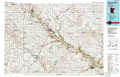 |
Glencoe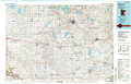 |
Saint Paul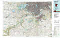 |
Tracy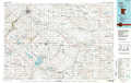 |
New Ulm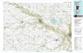 |
Faribault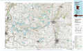 |
Worthington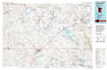 |
Fairmont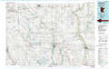 |
Albert Lea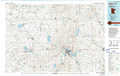 |
> Back to 44094a1 at 1:250,000 scale
> Back to U.S. Topo Maps home
1:24,000 Topo Quads covered by the spatial extent of this 100k map (New Ulm)
|
Morgan 
|
Morgan Ne 
|
Sleepy Eye Nw 
|
Saint George 
|
Lafayette 
|
Bernadotte 
|
New Sweden 
|
Norseland 
|
|
Boise Lake 
|
Evan 
|
Sleepy Eye 
|
Essig 
|
New Ulm 
|
Courtland 
|
Nicollet 
|
North Star 
|
|
Springfield 
|
Leavenworth 
|
Lake Hanska West 
|
Lake Hanska East 
|
Hanska 
|
Cambria 
|
Judson 
|
Mankato West 
|
|
Comfrey 
|
Darfur 
|
Godahl 
|
La Salle 
|
Madelia 
|
Perth 
|
Lake Crystal 
|
Good Thunder 
|