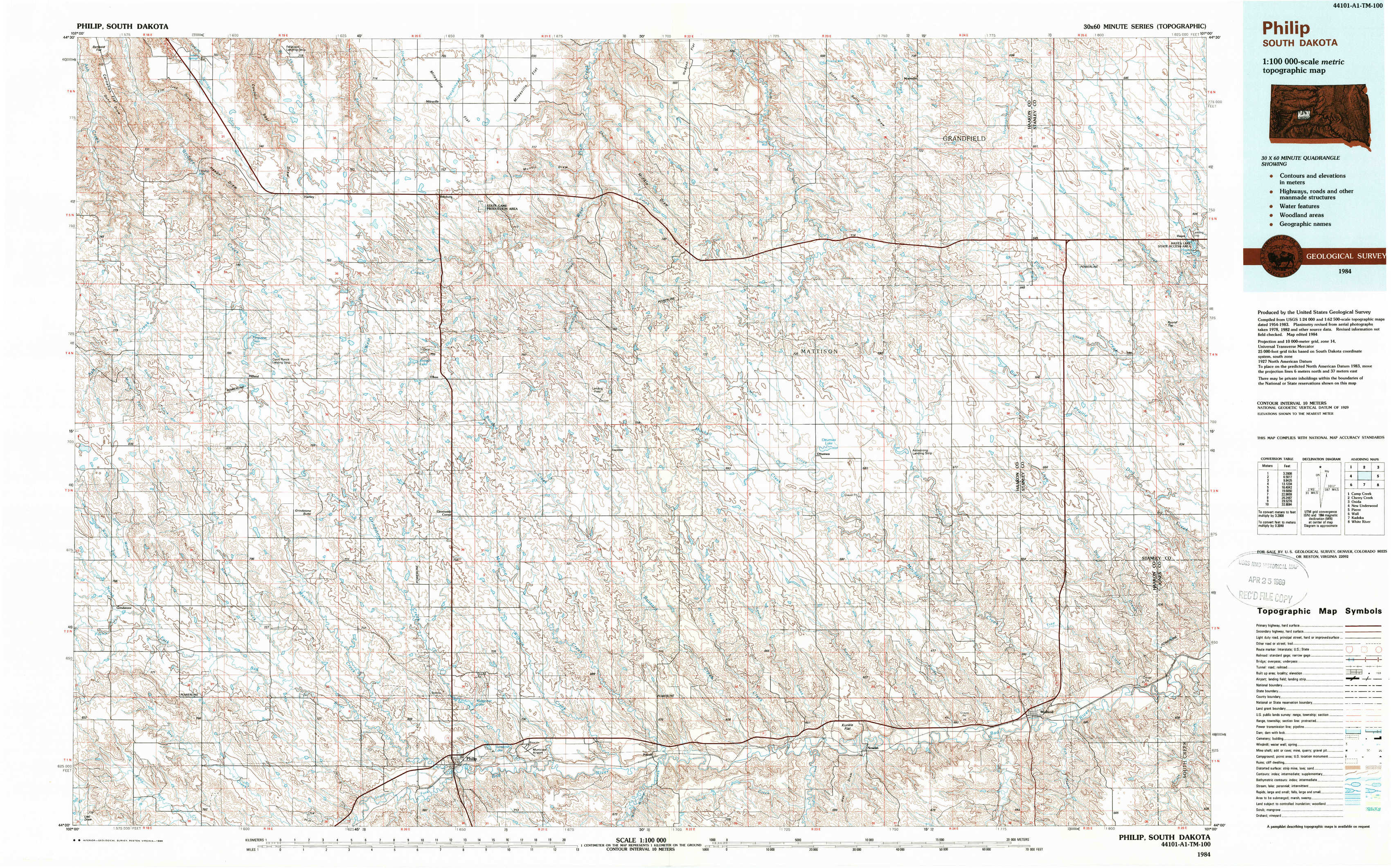
Philip Topo Map South Dakota
To zoom in, hover over the map of Philip
USGS Topo Map 44101a1 - 1:100,000 scale
| Topo Map Name: | Philip |
| USGS Topo Quad ID: | 44101a1 |
| Print Size: | ca. 39" wide x 24" high |
| Southeast Coordinates: | 44° N latitude / 101° W longitude |
| Map Center Coordinates: | 44.25° N latitude / 101.5° W longitude |
| U.S. State: | SD |
| Filename: | 44101a1.jpg |
| Download Map JPG Image: | Philip topo map 1:100,000 scale |
| Map Type: | Topographic |
| Topo Series: | 30´x60´ |
| Map Scale: | 1:100,000 |
| Source of Map Images: | United States Geological Survey (USGS) |
| Alternate Map Versions: |
Philip SD 1983, updated 1984 Download PDF Buy paper map Philip SD 1984, updated 1989 Download PDF Buy paper map |
1:100,000 Topos surrounding Philip
Camp Creek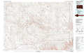 |
Cherry Creek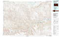 |
Onida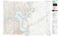 |
New Underwood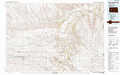 |
Philip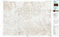 |
Pierre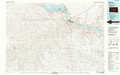 |
Wall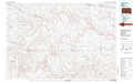 |
Kadoka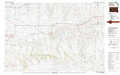 |
White River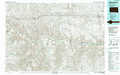 |
> Back to 44100a1 at 1:250,000 scale
> Back to U.S. Topo Maps home
1:24,000 Topo Quads covered by the spatial extent of this 100k map (Philip)
|
Hilland Nw 
|
Hartley 
|
Milesville 
|
Murray Draw 
|
Middle Draw 
|
Moenville 
|
Bentley Ranch 
|
Hayes North 
|
|
Post Ranch 
|
Hilland 
|
Elbon 
|
Tornado Ranch 
|
Mule Creek 
|
Pheba 2 Se 
|
May Ranch 
|
Hayes South 
|
|
Grindstone 
|
Grindstone Butte 
|
Elevenmile Corner 
|
Lucerne 
|
Powell Nw 
|
Ottumwa 
|
Midland Nw 
|
Midland Ne 
|
|
Grindstone Sw 
|
Bowen Ranch 
|
Philip 
|
Philip Se 
|
Powell 
|
Nowlin 
|
Midland 
|
Midland Se 
|