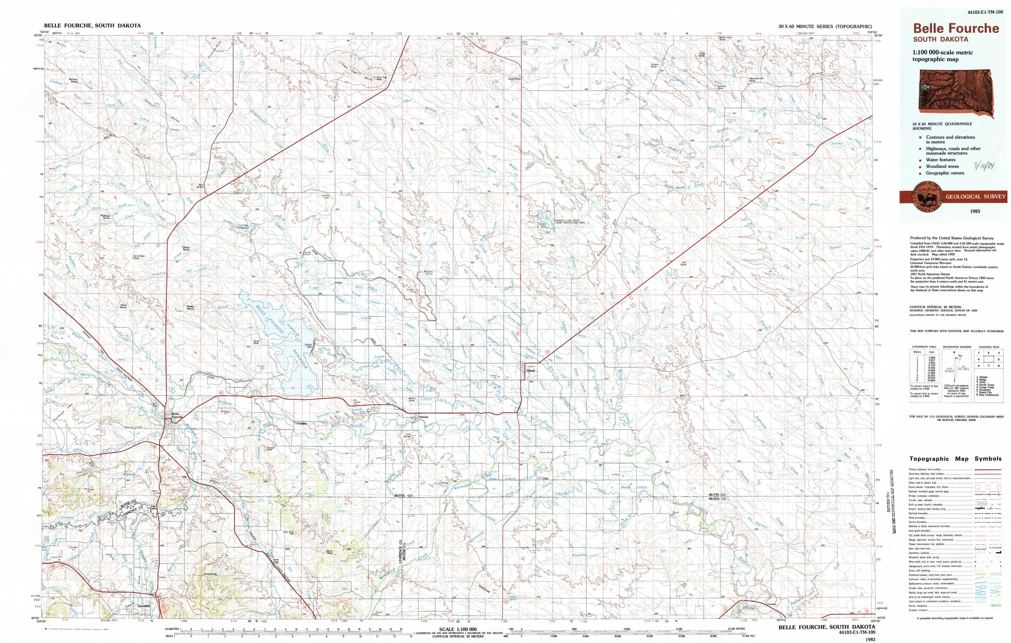
Belle Fourche Topo Map South Dakota
To zoom in, hover over the map of Belle Fourche
USGS Topo Map 44103e1 - 1:100,000 scale
| Topo Map Name: | Belle Fourche |
| USGS Topo Quad ID: | 44103e1 |
| Print Size: | ca. 39" wide x 24" high |
| Southeast Coordinates: | 44.5° N latitude / 103° W longitude |
| Map Center Coordinates: | 44.75° N latitude / 103.5° W longitude |
| U.S. State: | SD |
| Filename: | 44103e1.jpg |
| Download Map JPG Image: | Belle Fourche topo map 1:100,000 scale |
| Map Type: | Topographic |
| Topo Series: | 30´x60´ |
| Map Scale: | 1:100,000 |
| Source of Map Images: | United States Geological Survey (USGS) |
| Alternate Map Versions: |
Belle Fourche SD 1983, updated 1983 Download PDF Buy paper map |
1:100,000 Topos surrounding Belle Fourche
Alzada |
Redig |
Faith |
Devils Tower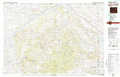 |
Belle Fourche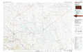 |
Camp Creek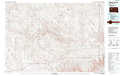 |
Sundance |
Rapid City |
New Underwood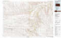 |
> Back to 44102a1 at 1:250,000 scale
> Back to U.S. Topo Maps home
1:24,000 Topo Quads covered by the spatial extent of this 100k map (Belle Fourche)
|
Mud Buttes Nw 
|
Antelope Butte 
|
Two Top Butte West 
|
Two Top Butte East 
|
Castle Rock 
|
Sulphur Butte 
|
Deers Ears Butte South 
|
Owl Butte Ne 
|
|
Bull Creek Butte 
|
Mud Buttes 
|
Arpan 
|
Two Top Butte Se 
|
Newell Lake 
|
Schoepp Flat 
|
Owl Butte 
|
Owl Butte Se 
|
|
Sourdough Flats 
|
Belle Fourche 
|
Fruitdale 
|
Nisland 
|
Newell 
|
Vale Ne 
|
Volunteer Nw 
|
Volunteer Ne 
|
|
Chicken Creek 
|
Jolly 
|
Saint Onge 
|
Saint Onge Se 
|
Vale 
|
Vale Se 
|
Volunteer 
|
Volunteer Se 
|