Worland Topo Map Wyoming
To zoom in, hover over the map of Worland
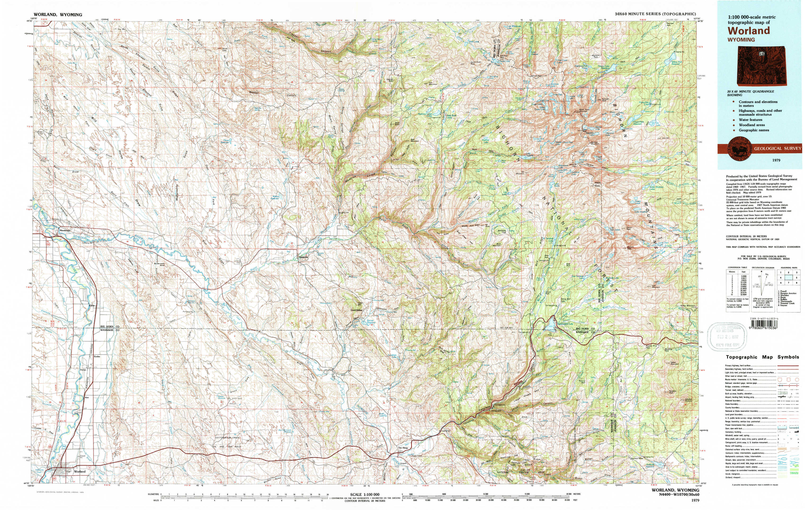
USGS Topo Map 44107a1 - 1:100,000 scale
| Topo Map Name: | Worland |
| USGS Topo Quad ID: | 44107a1 |
| Print Size: | ca. 39" wide x 24" high |
| Southeast Coordinates: | 44° N latitude / 107° W longitude |
| Map Center Coordinates: | 44.25° N latitude / 107.5° W longitude |
| U.S. State: | WY |
| Filename: | 44107a1.jpg |
| Download Map JPG Image: | Worland topo map 1:100,000 scale |
| Map Type: | Topographic |
| Topo Series: | 30´x60´ |
| Map Scale: | 1:100,000 |
| Source of Map Images: | United States Geological Survey (USGS) |
| Alternate Map Versions: |
Worland WY 1979, updated 1979 Download PDF Buy paper map Worland WY 1979, updated 1979 Download PDF Buy paper map |
1:100,000 Topos surrounding Worland
Powell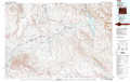 |
Burgess Junction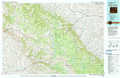 |
Sheridan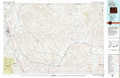 |
Basin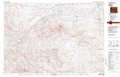 |
Worland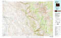 |
Buffalo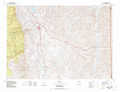 |
Thermopolis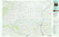 |
Nowater Creek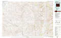 |
Kaycee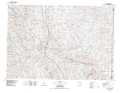 |
> Back to 44106a1 at 1:250,000 scale
> Back to U.S. Topo Maps home
1:24,000 Topo Quads covered by the spatial extent of this 100k map (Worland)
|
Wild Horse Flats 
|
Manderson Ne 
|
White Sulphur Spring 
|
Bush Butte 
|
Spanish Point 
|
Shell Lake 
|
Cloud Peak 
|
Willow Park Reservoir 
|
|
Manderson 
|
Manderson Se 
|
Flitner Reservoir 
|
Hyatt Ranch 
|
Allen Draw 
|
Lake Solitude 
|
Lake Helen 
|
Lake Angeline 
|
|
Rairden 
|
Mcdermotts Butte 
|
Weintz Draw 
|
Hyattville 
|
Pierce Draw 
|
Brokenback Narrows 
|
Meadowlark Lake 
|
Powder River Pass 
|
|
Worland 
|
Worland Se 
|
Broom Draw 
|
Wild Horse Hill 
|
Ten Sleep 
|
Old Maid Gulch 
|
Onion Gulch 
|
Hazelton Peak 
|