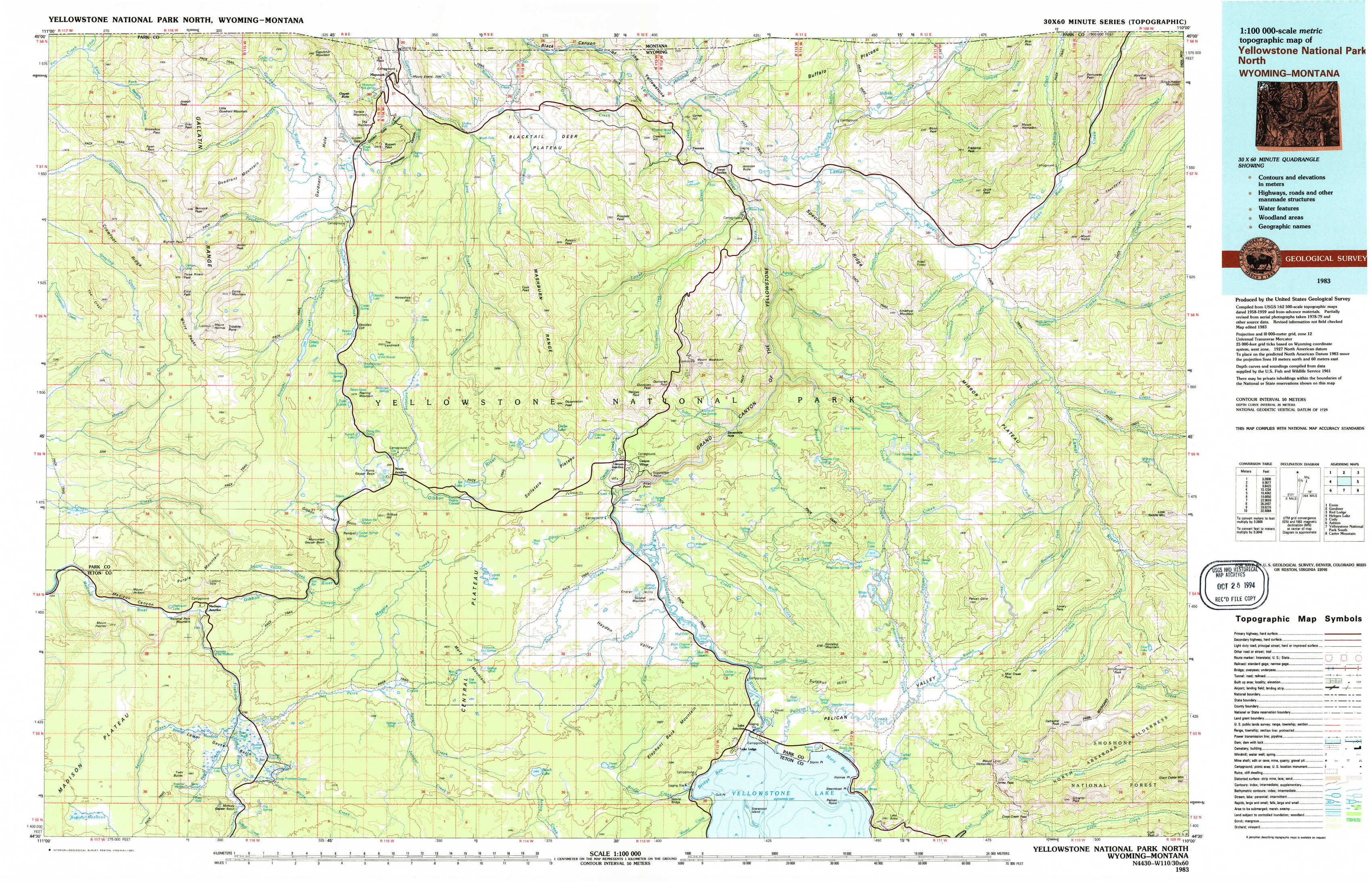
Yellowstone National Park North Topo Map Wyoming
To zoom in, hover over the map of Yellowstone National Park North
USGS Topo Map 44110e1 - 1:100,000 scale
| Topo Map Name: | Yellowstone National Park North |
| USGS Topo Quad ID: | 44110e1 |
| Print Size: | ca. 39" wide x 24" high |
| Southeast Coordinates: | 44.5° N latitude / 110° W longitude |
| Map Center Coordinates: | 44.75° N latitude / 110.5° W longitude |
| U.S. States: | WY, MT |
| Filename: | 44110e1.jpg |
| Download Map JPG Image: | Yellowstone National Park North topo map 1:100,000 scale |
| Map Type: | Topographic |
| Topo Series: | 30´x60´ |
| Map Scale: | 1:100,000 |
| Source of Map Images: | United States Geological Survey (USGS) |
| Alternate Map Versions: |
Yellowstone National Park North WY 1983, updated 1983 Download PDF Buy paper map |
1:100,000 Topos surrounding Yellowstone National Park North
Ennis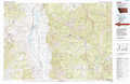 |
Gardiner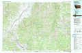 |
Red Lodge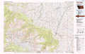 |
Hebgen Lake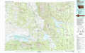 |
Yellowstone National Park North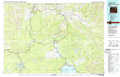 |
Cody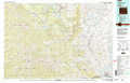 |
Ashton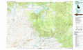 |
Yellowstone National Park South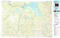 |
Carter Mountain |
> Back to 44110a1 at 1:250,000 scale
> Back to U.S. Topo Maps home
1:24,000 Topo Quads covered by the spatial extent of this 100k map (Yellowstone National Park North)
|
Joseph Peak 
|
Quadrant Mountain 
|
Mammoth 
|
Blacktail Deer Creek 
|
Tower Junction 
|
Lamar Canyon 
|
Mount Hornaday 
|
Abiathar Peak 
|
|
Three Rivers Peak 
|
Mount Holmes 
|
Obsidian Cliff 
|
Cook Peak 
|
Mount Washburn 
|
Amethyst Mountain 
|
Opal Creek 
|
Wahb Springs 
|
|
Mount Jackson 
|
Madison Junction 
|
Norris Junction 
|
Crystal Falls 
|
Canyon Village 
|
White Lake 
|
Pelican Cone 
|
Little Saddle Mountain 
|
|
Buffalo Meadows 
|
Lower Geyser Basin 
|
Mary Lake 
|
Beach Lake 
|
Lake 
|
Lake Butte 
|
Mount Chittenden 
|
Cathedral Peak 
|