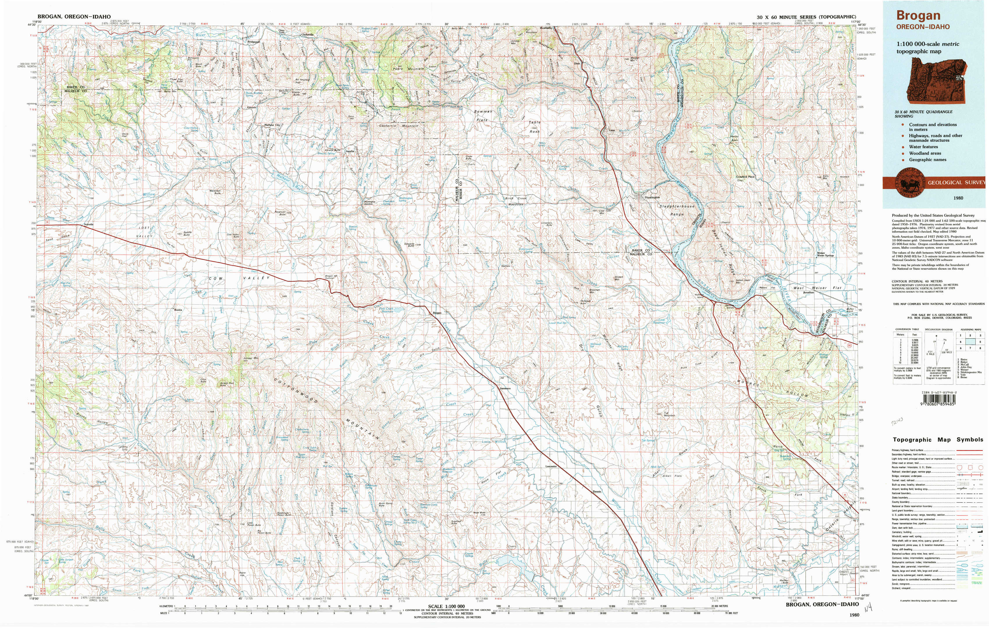
Brogan Topo Map Oregon
To zoom in, hover over the map of Brogan
USGS Topo Map 44117a1 - 1:100,000 scale
| Topo Map Name: | Brogan |
| USGS Topo Quad ID: | 44117a1 |
| Print Size: | ca. 39" wide x 24" high |
| Southeast Coordinates: | 44° N latitude / 117° W longitude |
| Map Center Coordinates: | 44.25° N latitude / 117.5° W longitude |
| U.S. States: | OR, ID |
| Filename: | 44117a1.jpg |
| Download Map JPG Image: | Brogan topo map 1:100,000 scale |
| Map Type: | Topographic |
| Topo Series: | 30´x60´ |
| Map Scale: | 1:100,000 |
| Source of Map Images: | United States Geological Survey (USGS) |
| Alternate Map Versions: |
Brogan OR 1980, updated 1997 Download PDF Buy paper map |
1:100,000 Topos surrounding Brogan
Bates |
Baker |
Mc Call |
John Day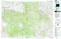 |
Brogan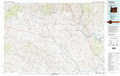 |
Weiser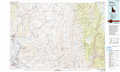 |
Stinkingwater Mountains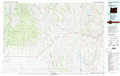 |
Vale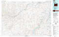 |
Boise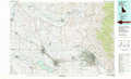 |
> Back to 44116a1 at 1:250,000 scale
> Back to U.S. Topo Maps home
1:24,000 Topo Quads covered by the spatial extent of this 100k map (Brogan)
|
Devils Heel 
|
Wendt Butte 
|
Bridgeport 
|
Mormon Basin 
|
Rye Valley 
|
Lime 
|
Henley Basin 
|
Olds Ferry Ne 
|
|
Ironside 
|
Cow Valley West 
|
Cow Valley East 
|
Becker Creek 
|
Birch Creek Meadow 
|
Huntington 
|
Olds Ferry 
|
Porters Flat 
|
|
Clover Creek Ranch 
|
Scratch Post Mountain 
|
Juniper Mountain 
|
Brogan 
|
Jamieson 
|
Mccarthy Ridge 
|
Tub Mountain 
|
Moores Hollow 
|
|
Little Juniper Spring 
|
Log Creek 
|
Buckbrush Creek 
|
Swede Flat 
|
Hope Butte 
|
Willow Creek 
|
Henry Gulch 
|
Malheur Butte 
|