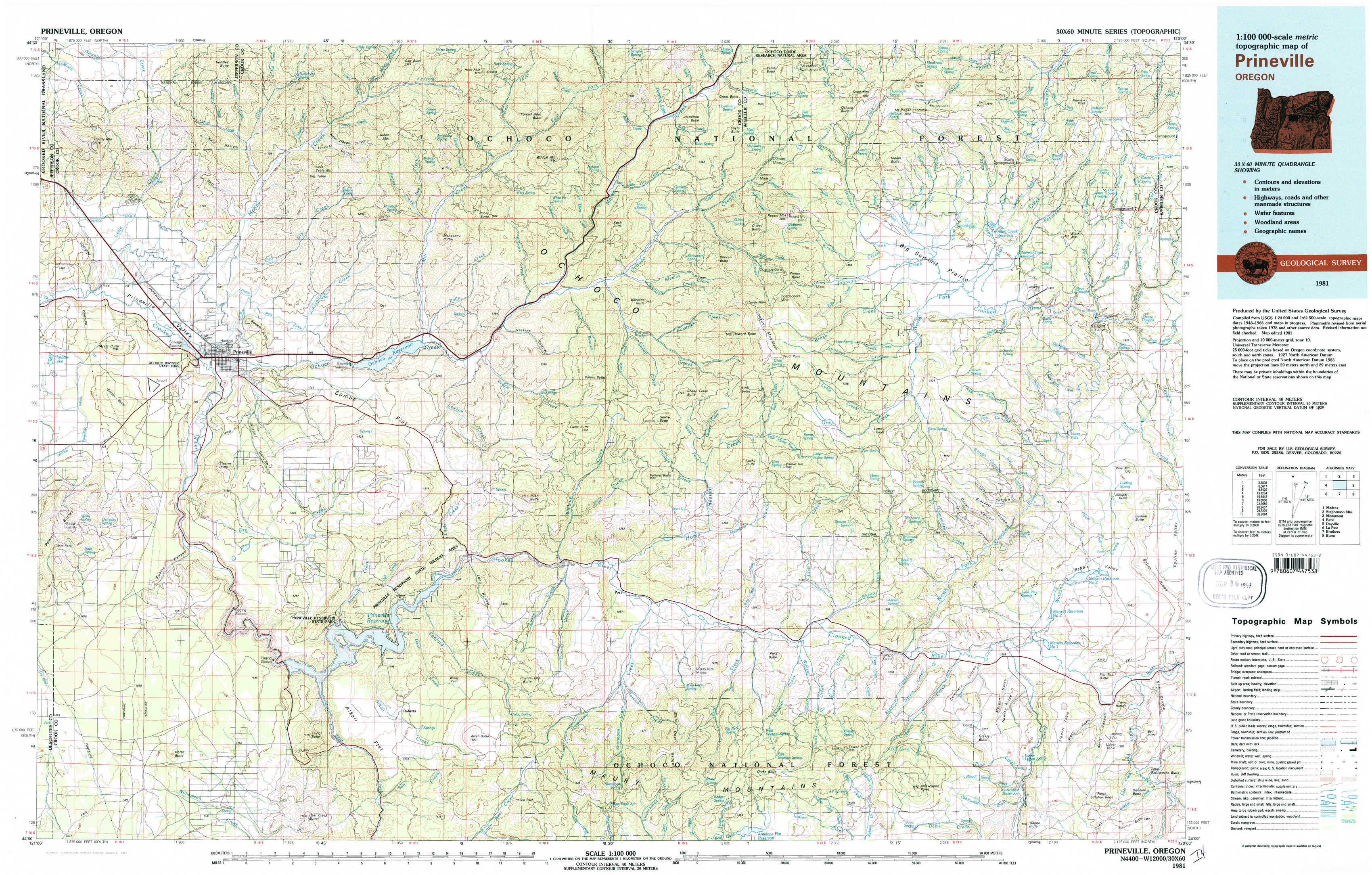
Prineville Topo Map Oregon
To zoom in, hover over the map of Prineville
USGS Topo Map 44120a1 - 1:100,000 scale
| Topo Map Name: | Prineville |
| USGS Topo Quad ID: | 44120a1 |
| Print Size: | ca. 39" wide x 24" high |
| Southeast Coordinates: | 44° N latitude / 120° W longitude |
| Map Center Coordinates: | 44.25° N latitude / 120.5° W longitude |
| U.S. State: | OR |
| Filename: | 44120a1.jpg |
| Download Map JPG Image: | Prineville topo map 1:100,000 scale |
| Map Type: | Topographic |
| Topo Series: | 30´x60´ |
| Map Scale: | 1:100,000 |
| Source of Map Images: | United States Geological Survey (USGS) |
| Alternate Map Versions: |
Prineville OR 1981, updated 1981 Download PDF Buy paper map |
1:100,000 Topos surrounding Prineville
Madras |
Stephenson Mountain |
Monument |
Bend |
Prineville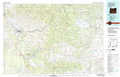 |
Dayville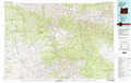 |
La Pine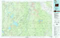 |
Brothers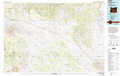 |
Burns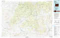 |
> Back to 44120a1 at 1:250,000 scale
> Back to U.S. Topo Maps home
1:24,000 Topo Quads covered by the spatial extent of this 100k map (Prineville)
|
Grizzly Mountain 
|
Hensley Butte 
|
Salt Butte 
|
Wildcat Mountain 
|
Whistler Point 
|
Ochoco Butte 
|
Mount Pisgah 
|
Peterson Point 
|
|
Houston Lake 
|
Prineville 
|
Ochoco Reservoir 
|
Cadle Butte 
|
Gerow Butte 
|
Lookout Mountain 
|
Williams Prairie 
|
Keys Creek 
|
|
Powell Buttes 
|
Stearns Butte 
|
Eagle Rock 
|
Pilot Butte 
|
Post 
|
Prairie Hill 
|
Committee Creek 
|
Rabbit Valley 
|
|
Horse Butte 
|
Bowman Dam 
|
Alkali Flat 
|
Conant Basin 
|
Mule Deer Ridge 
|
Drake Butte 
|
Arrowwood Point 
|
Liggett Table 
|