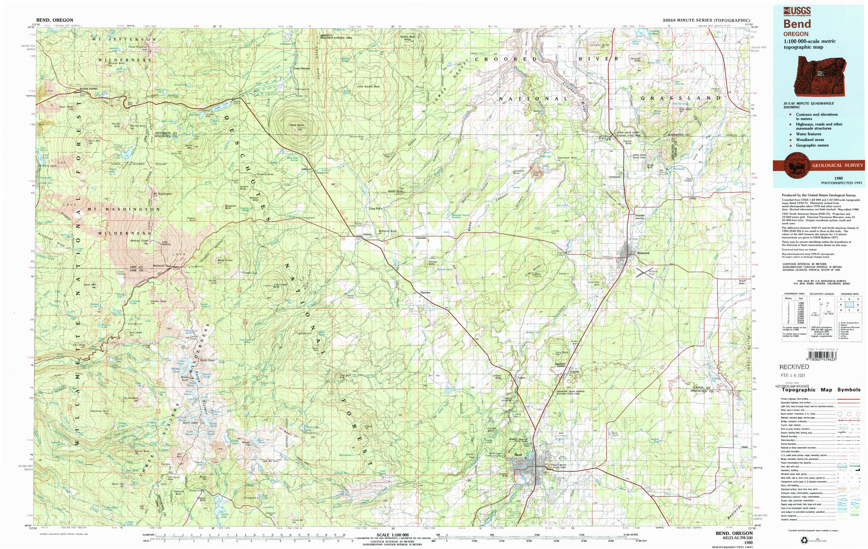
Bend Topo Map Oregon
To zoom in, hover over the map of Bend
USGS Topo Map 44121a1 - 1:100,000 scale
| Topo Map Name: | Bend |
| USGS Topo Quad ID: | 44121a1 |
| Print Size: | ca. 39" wide x 24" high |
| Southeast Coordinates: | 44° N latitude / 121° W longitude |
| Map Center Coordinates: | 44.25° N latitude / 121.5° W longitude |
| U.S. State: | OR |
| Filename: | 44121a1.jpg |
| Download Map JPG Image: | Bend topo map 1:100,000 scale |
| Map Type: | Topographic |
| Topo Series: | 30´x60´ |
| Map Scale: | 1:100,000 |
| Source of Map Images: | United States Geological Survey (USGS) |
| Alternate Map Versions: |
Bend OR 1980, updated 1993 Download PDF Buy paper map Bend OR 1980, updated 1993 Download PDF Buy paper map |
1:100,000 Topos surrounding Bend
North Santiam River |
Madras |
Stephenson Mountain |
Mc Kenzie River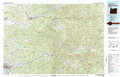 |
Bend |
Prineville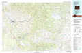 |
Oakridge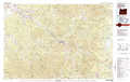 |
La Pine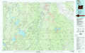 |
Brothers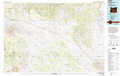 |
> Back to 44120a1 at 1:250,000 scale
> Back to U.S. Topo Maps home
1:24,000 Topo Quads covered by the spatial extent of this 100k map (Bend)
|
Santiam Junction 
|
Three Fingered Jack 
|
Black Butte 
|
Little Squaw Back 
|
Squaw Back Ridge 
|
Steelhead Falls 
|
Opal City 
|
Gray Butte 
|
|
Clear Lake 
|
Mount Washington 
|
Black Crater 
|
Sisters 
|
Henkle Butte 
|
Cline Falls 
|
Redmond 
|
O'Neil 
|
|
Linton Lake 
|
North Sister 
|
Trout Creek Butte 
|
Three Creek Butte 
|
Tumalo Dam 
|
Tumalo 
|
Forked Horn Butte 
|
Powell Butte 
|
|
Substitute Point 
|
South Sister 
|
Lake Geneva 
|
Tumalo Falls 
|
Shevlin Park 
|
Bend 
|
Bend Airport 
|
Alfalfa 
|