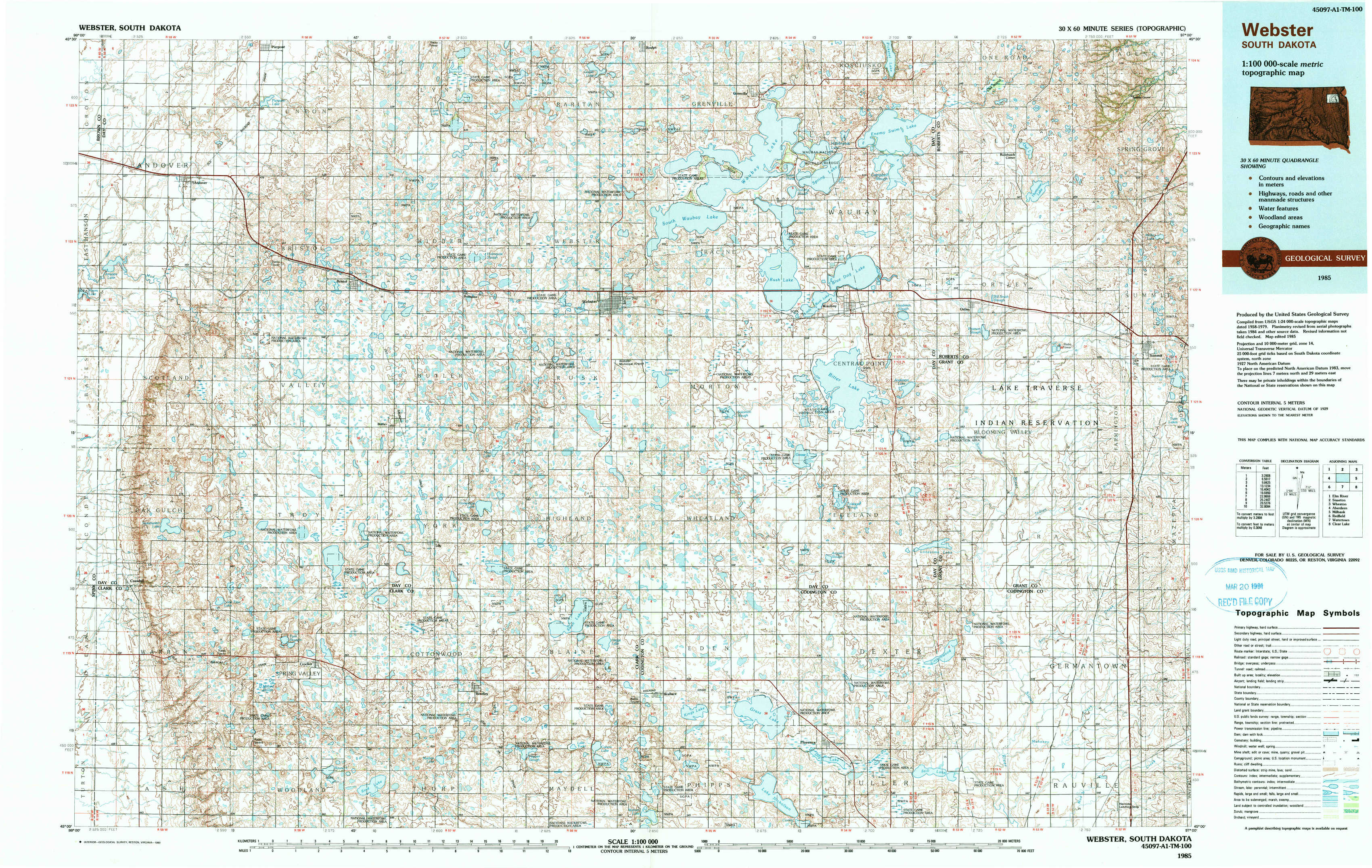
Webster Topo Map South Dakota
To zoom in, hover over the map of Webster
USGS Topo Map 45097a1 - 1:100,000 scale
| Topo Map Name: | Webster |
| USGS Topo Quad ID: | 45097a1 |
| Print Size: | ca. 39" wide x 24" high |
| Southeast Coordinates: | 45° N latitude / 97° W longitude |
| Map Center Coordinates: | 45.25° N latitude / 97.5° W longitude |
| U.S. State: | SD |
| Filename: | 45097a1.jpg |
| Download Map JPG Image: | Webster topo map 1:100,000 scale |
| Map Type: | Topographic |
| Topo Series: | 30´x60´ |
| Map Scale: | 1:100,000 |
| Source of Map Images: | United States Geological Survey (USGS) |
| Alternate Map Versions: |
Webster SD 1985, updated 1985 Download PDF Buy paper map Webster SD 1985, updated 1989 Download PDF Buy paper map |
1:100,000 Topos surrounding Webster
Elm River |
Sisseton |
Wheaton |
Aberdeen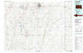 |
Webster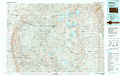 |
Milbank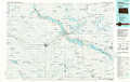 |
Redfield |
Watertown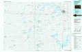 |
Clear Lake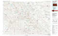 |
> Back to 45096a1 at 1:250,000 scale
> Back to U.S. Topo Maps home
1:24,000 Topo Quads covered by the spatial extent of this 100k map (Webster)
|
Andover 
|
Pierpont 
|
Lynn Lake 
|
Webster Ne 
|
Roslyn 
|
Enemy Swim Lake West 
|
Enemy Swim Lake East 
|
Summit Ne 
|
|
Andover Sw 
|
Bristol West 
|
Bristol East 
|
Webster 
|
Waubay Sw 
|
Waubay 
|
Ortley 
|
Summit 
|
|
Crandall 
|
Lone Tree Lake 
|
Lily 
|
Swan Lake 
|
Florence Nw 
|
Florence Ne 
|
Lonesome Lake 
|
Still Lake Ne 
|
|
Crocker Sw 
|
Crocker 
|
Bradley 
|
Heggs Lake 
|
Wallace 
|
Florence 
|
Still Lake 
|
Still Lake Se 
|