Gettysburg Topo Map South Dakota
To zoom in, hover over the map of Gettysburg
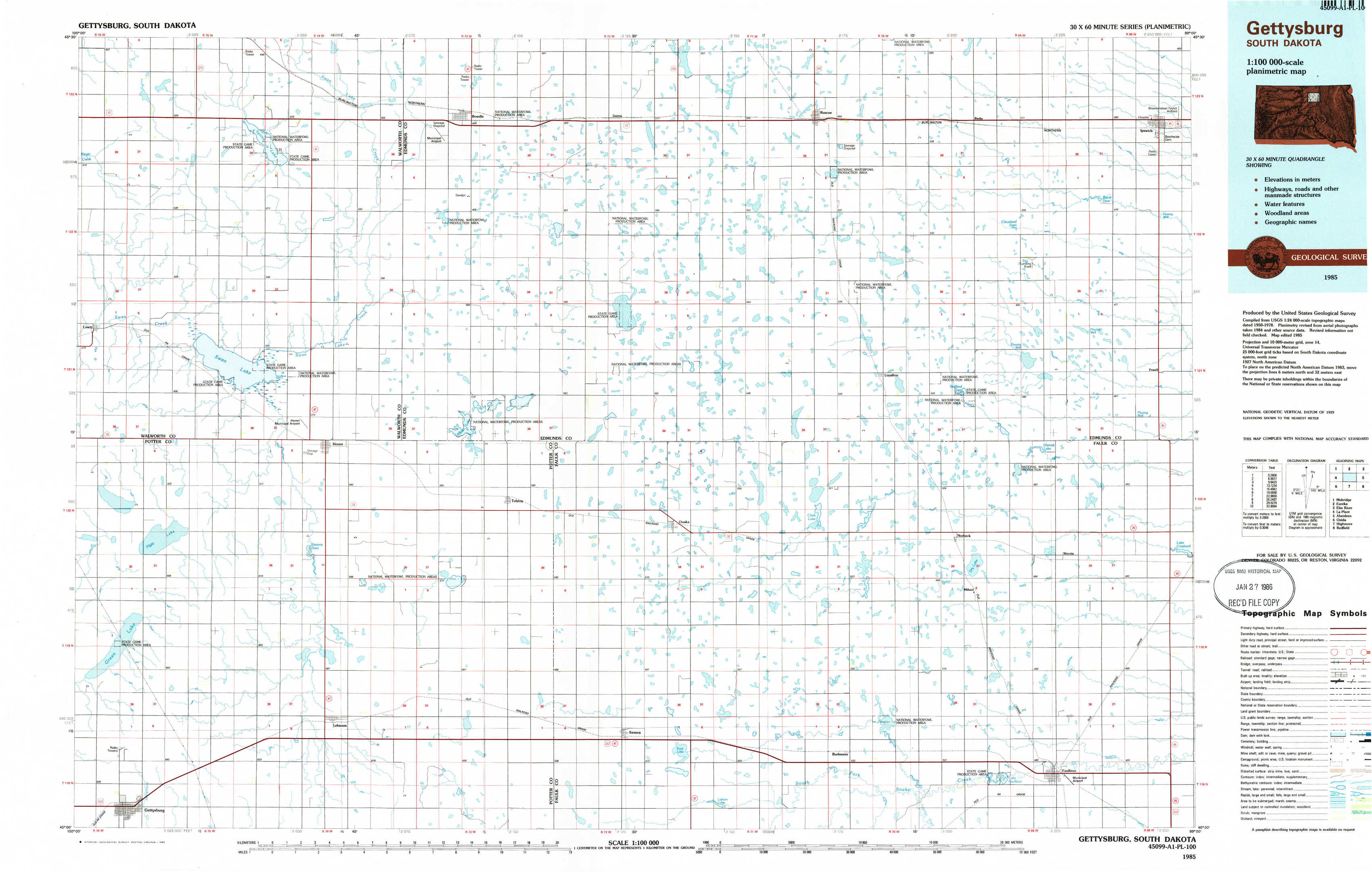
USGS Topo Map 45099a1 - 1:100,000 scale
| Topo Map Name: | Gettysburg |
| USGS Topo Quad ID: | 45099a1 |
| Print Size: | ca. 39" wide x 24" high |
| Southeast Coordinates: | 45° N latitude / 99° W longitude |
| Map Center Coordinates: | 45.25° N latitude / 99.5° W longitude |
| U.S. State: | SD |
| Filename: | 45099a1.jpg |
| Download Map JPG Image: | Gettysburg topo map 1:100,000 scale |
| Map Type: | Topographic |
| Topo Series: | 30´x60´ |
| Map Scale: | 1:100,000 |
| Source of Map Images: | United States Geological Survey (USGS) |
| Alternate Map Versions: |
Gettysburg SD 1985, updated 1985 Download PDF Buy paper map |
1:100,000 Topos surrounding Gettysburg
Mobridge |
Eureka |
Elm River |
La Plant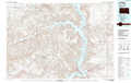 |
Gettysburg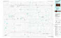 |
Aberdeen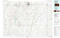 |
Onida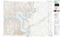 |
Highmore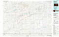 |
Redfield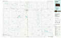 |
> Back to 45098a1 at 1:250,000 scale
> Back to U.S. Topo Maps home
1:24,000 Topo Quads covered by the spatial extent of this 100k map (Gettysburg)
|
Lowry Nw 
|
Spring Lake 
|
Bowdle 
|
Gretna 
|
Roscoe Nw 
|
Roscoe 
|
Beebe 
|
Ipswich 
|
|
Lowry 
|
Hoven Municipal Airport 
|
Bowdle Sw 
|
Bowdle Se 
|
Roscoe Sw 
|
Loyalton 
|
Stafford Dam 
|
Ipswich Se 
|
|
Flight Lake 
|
Hoven 
|
Seneca Nw 
|
Tolstoy 
|
Onaka 
|
Clark Lake 
|
Norbeck 
|
Wecota 
|
|
Gettysburg 
|
Lebanon 
|
Seneca Sw 
|
Seneca 
|
Onaka Sw 
|
Burkmere 
|
Faulkton West 
|
Faulkton East 
|