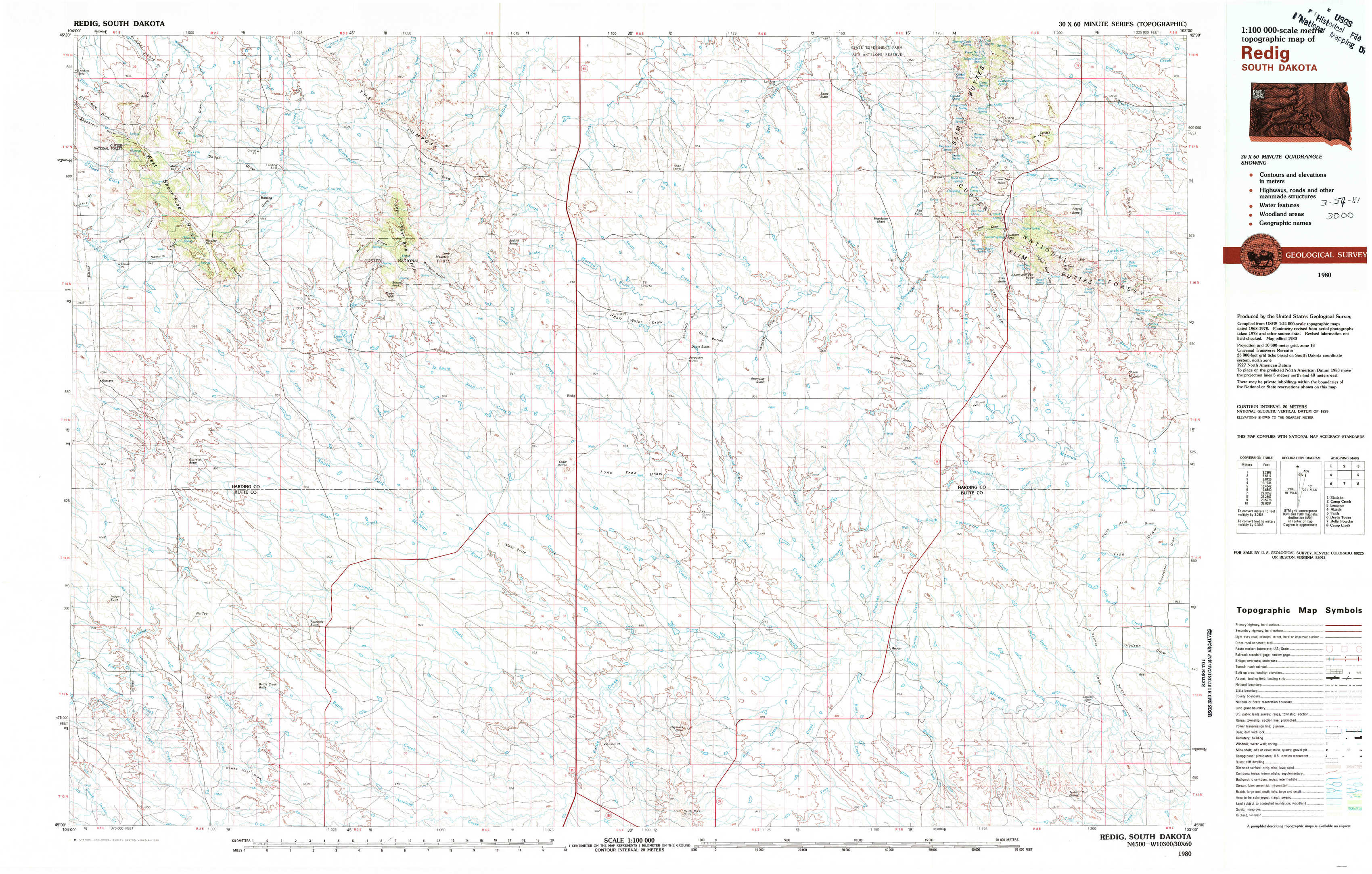
Redig Topo Map South Dakota
To zoom in, hover over the map of Redig
USGS Topo Map 45103a1 - 1:100,000 scale
| Topo Map Name: | Redig |
| USGS Topo Quad ID: | 45103a1 |
| Print Size: | ca. 39" wide x 24" high |
| Southeast Coordinates: | 45° N latitude / 103° W longitude |
| Map Center Coordinates: | 45.25° N latitude / 103.5° W longitude |
| U.S. State: | SD |
| Filename: | 45103a1.jpg |
| Download Map JPG Image: | Redig topo map 1:100,000 scale |
| Map Type: | Topographic |
| Topo Series: | 30´x60´ |
| Map Scale: | 1:100,000 |
| Source of Map Images: | United States Geological Survey (USGS) |
| Alternate Map Versions: |
Redig SD 1980, updated 1980 Download PDF Buy paper map |
1:100,000 Topos surrounding Redig
Ekalaka |
Camp Crook |
Lemmon |
Alzada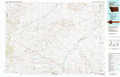 |
Redig |
Faith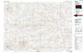 |
Devils Tower |
Belle Fourche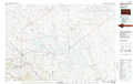 |
Camp Creek |
> Back to 45102a1 at 1:250,000 scale
> Back to U.S. Topo Maps home
1:24,000 Topo Quads covered by the spatial extent of this 100k map (Redig)
|
J K Butte 
|
Harding 
|
Bog Creek 
|
Redig Ne 
|
Bams Butte Nw 
|
Bams Butte 
|
J B Hill 
|
Flat Top Butte 
|
|
Gustave 
|
Hells Canyon 
|
Moreau Peak 
|
Redig 
|
Roundup Butte 
|
Bams Butte Se 
|
Irish Butte 
|
Sheep Mountain 
|
|
Indian Butte 
|
Alkali Creek West 
|
Alkali Creek East 
|
Lone Tree Draw West 
|
Lone Tree Draw East 
|
Granger Creek 
|
Porter Creek 
|
Fish Draw 
|
|
Greasewood Draw 
|
Battle Creek Butte 
|
Antelope Creek West 
|
Antelope Creek East 
|
Haystack Butte 
|
Hoover 
|
Deers Ears Butte North 
|
Tomato Can Buttes 
|