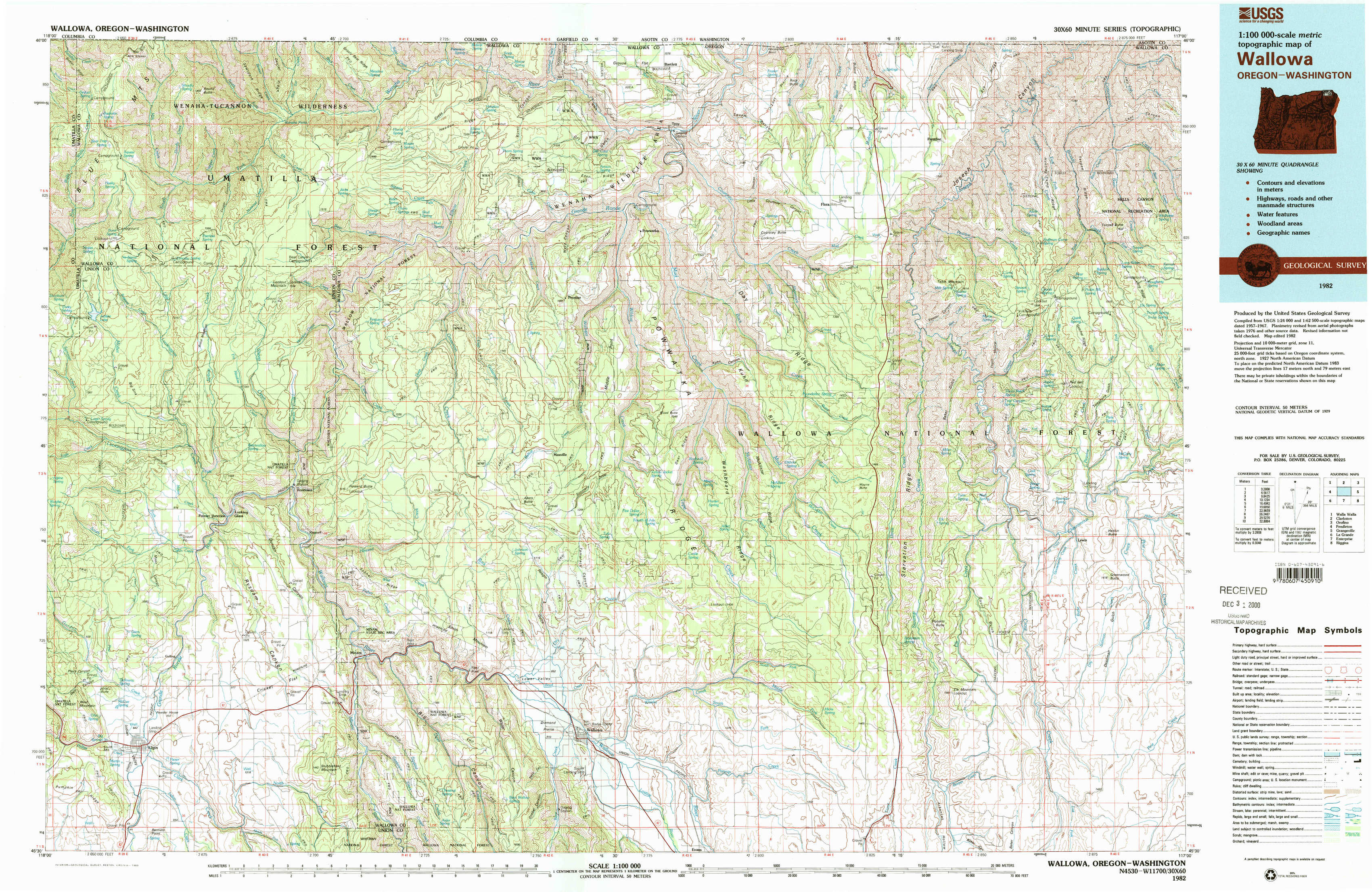
Wallowa Topo Map Oregon
To zoom in, hover over the map of Wallowa
USGS Topo Map 45117e1 - 1:100,000 scale
| Topo Map Name: | Wallowa |
| USGS Topo Quad ID: | 45117e1 |
| Print Size: | ca. 39" wide x 24" high |
| Southeast Coordinates: | 45.5° N latitude / 117° W longitude |
| Map Center Coordinates: | 45.75° N latitude / 117.5° W longitude |
| U.S. States: | OR, WA |
| Filename: | 45117e1.jpg |
| Download Map JPG Image: | Wallowa topo map 1:100,000 scale |
| Map Type: | Topographic |
| Topo Series: | 30´x60´ |
| Map Scale: | 1:100,000 |
| Source of Map Images: | United States Geological Survey (USGS) |
| Alternate Map Versions: |
Wallowa OR 1982, updated 1983 Download PDF Buy paper map Wallowa OR 1982, updated 1983 Download PDF Buy paper map |
1:100,000 Topos surrounding Wallowa
Walla Walla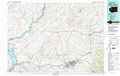 |
Clarkston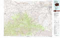 |
Orofino |
Pendleton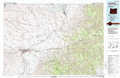 |
Wallowa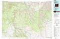 |
Grangeville |
La Grande |
Enterprise |
Riggins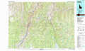 |
> Back to 45116a1 at 1:250,000 scale
> Back to U.S. Topo Maps home
1:24,000 Topo Quads covered by the spatial extent of this 100k map (Wallowa)
|
Bone Spring 
|
Wenaha Forks 
|
Elbow Creek 
|
Eden 
|
Troy 
|
Flora 
|
Paradise 
|
Teepee Butte 
|
|
Jubilee Lake 
|
Fry Meadow 
|
Deep Creek 
|
Promise 
|
Wood Butte 
|
Shamrock Creek 
|
Table Mountain 
|
Billy Meadows 
|
|
Partridge Creek 
|
Rondowa 
|
Howard Butte 
|
Akers Butte 
|
Washboard Ridge 
|
Sled Springs 
|
Starvation Ridge 
|
Greenwood Butte 
|
|
Elgin 
|
Cricket Flat 
|
Minam 
|
Wallowa 
|
Evans 
|
Hicks Spring 
|
Elk Mountain 
|
Elk Mountain Se 
|