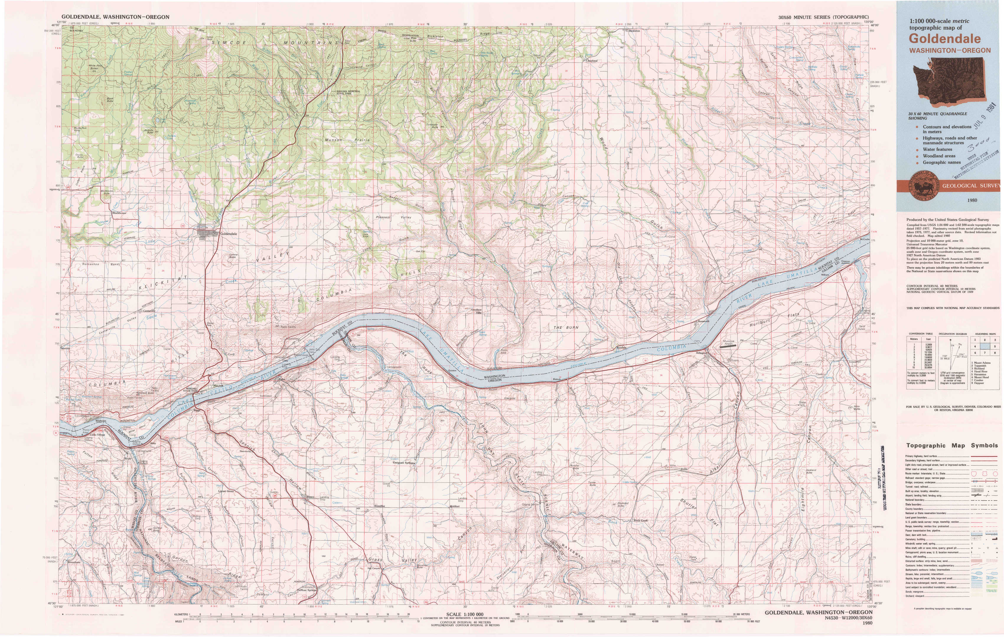
Goldendale Topo Map Washington
To zoom in, hover over the map of Goldendale
USGS Topo Map 45120e1 - 1:100,000 scale
| Topo Map Name: | Goldendale |
| USGS Topo Quad ID: | 45120e1 |
| Print Size: | ca. 39" wide x 24" high |
| Southeast Coordinates: | 45.5° N latitude / 120° W longitude |
| Map Center Coordinates: | 45.75° N latitude / 120.5° W longitude |
| U.S. States: | WA, OR |
| Filename: | 45120e1.jpg |
| Download Map JPG Image: | Goldendale topo map 1:100,000 scale |
| Map Type: | Topographic |
| Topo Series: | 30´x60´ |
| Map Scale: | 1:100,000 |
| Source of Map Images: | United States Geological Survey (USGS) |
| Alternate Map Versions: |
Goldendale WA 1980, updated 1981 Download PDF Buy paper map |
1:100,000 Topos surrounding Goldendale
Mount Adams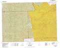 |
Toppenish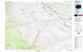 |
Richland |
Hood River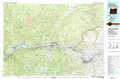 |
Goldendale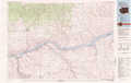 |
Hermiston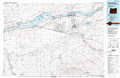 |
Mount Hood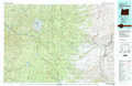 |
Condon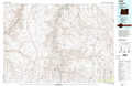 |
Heppner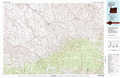 |
> Back to 45120a1 at 1:250,000 scale
> Back to U.S. Topo Maps home
1:24,000 Topo Quads covered by the spatial extent of this 100k map (Goldendale)
|
White Pine Buttes 
|
Indian Rock 
|
Status Pass 
|
Lone Pine Butte 
|
Bickleton Nw 
|
Bickleton 
|
Crider Valley 
|
Douty Canyon 
|
|
Centerville 
|
Goldendale 
|
Luna Butte 
|
Luna Gulch 
|
Goodnoe Hills 
|
Dot 
|
Wood Gulch 
|
Heppner Junction 
|
|
Wishram 
|
Biggs Junction 
|
Rufus 
|
Quinton 
|
Sundale Nw 
|
Sundale 
|
Arlington 
|
Horn Butte 
|
|
Emerson 
|
Locust Grove 
|
Wasco 
|
Klondike 
|
Mcdonald 
|
Turner Butte 
|
Shutler Flat 
|
Hickland Butte 
|