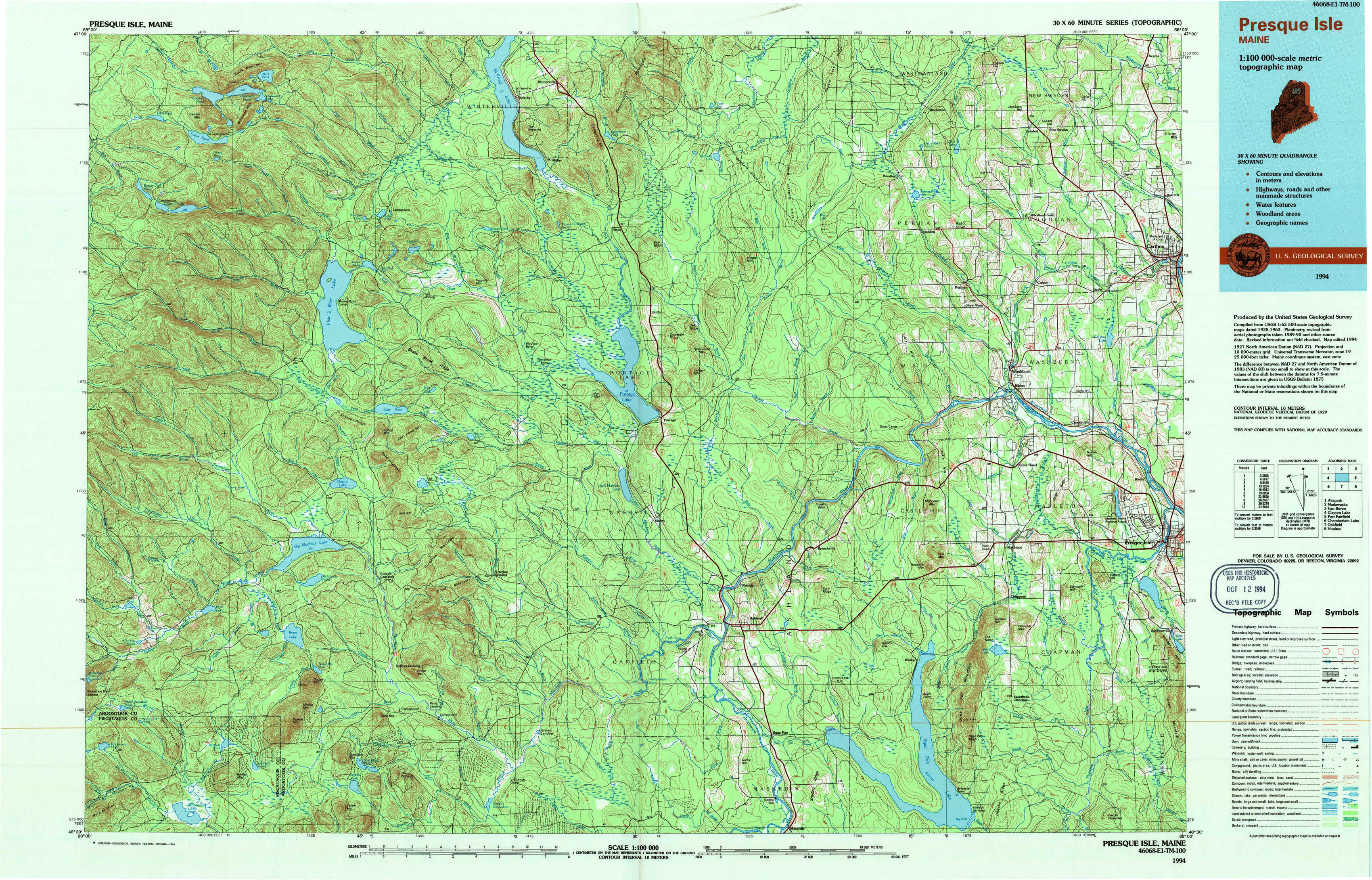
Presque Isle Topo Map Maine
To zoom in, hover over the map of Presque Isle
USGS Topo Map 46068e1 - 1:100,000 scale
| Topo Map Name: | Presque Isle |
| USGS Topo Quad ID: | 46068e1 |
| Print Size: | ca. 39" wide x 24" high |
| Southeast Coordinates: | 46.5° N latitude / 68° W longitude |
| Map Center Coordinates: | 46.75° N latitude / 68.5° W longitude |
| U.S. State: | ME |
| Filename: | 46068e1.jpg |
| Download Map JPG Image: | Presque Isle topo map 1:100,000 scale |
| Map Type: | Topographic |
| Topo Series: | 30´x60´ |
| Map Scale: | 1:100,000 |
| Source of Map Images: | United States Geological Survey (USGS) |
| Alternate Map Versions: |
Presque Isle ME 1994, updated 1994 Download PDF Buy paper map |
1:100,000 Topos surrounding Presque Isle
Allagash |
Madawaska |
Van Buren |
Clayton Lake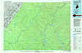 |
Presque Isle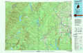 |
Fort Fairfield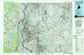 |
Chamberlain Lake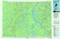 |
Oakfield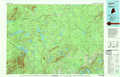 |
Houlton |
> Back to 46068a1 at 1:250,000 scale
> Back to U.S. Topo Maps home
1:24,000 Topo Quads covered by the spatial extent of this 100k map (Presque Isle)
|
Gardner Pond 
|
Deboullie Pond 
|
Island Pond 
|
Winterville 
|
Mcclusky Lake 
|
Hanford 
|
Mud Lake 
|
New Sweden 
|
|
Fish River Lake Sw 
|
Fish River Lake 
|
Carr Pond 
|
Portage Lake West 
|
Portage Lake East 
|
Bull Brook 
|
Washburn 
|
Caribou 
|
|
Farrar Pond 
|
Big Machias Lake 
|
Greenlaw Pond 
|
Little Machias Lake 
|
Ashland 
|
York Ridge 
|
Mapleton 
|
Presque Isle 
|
|
Mooseleuk Lake 
|
Round Mountain 
|
Jack Mountain 
|
Forks Of Machias 
|
Squa Pan 
|
Squa Pan Lake West 
|
Squa Pan Lake East 
|
Echo Lake 
|