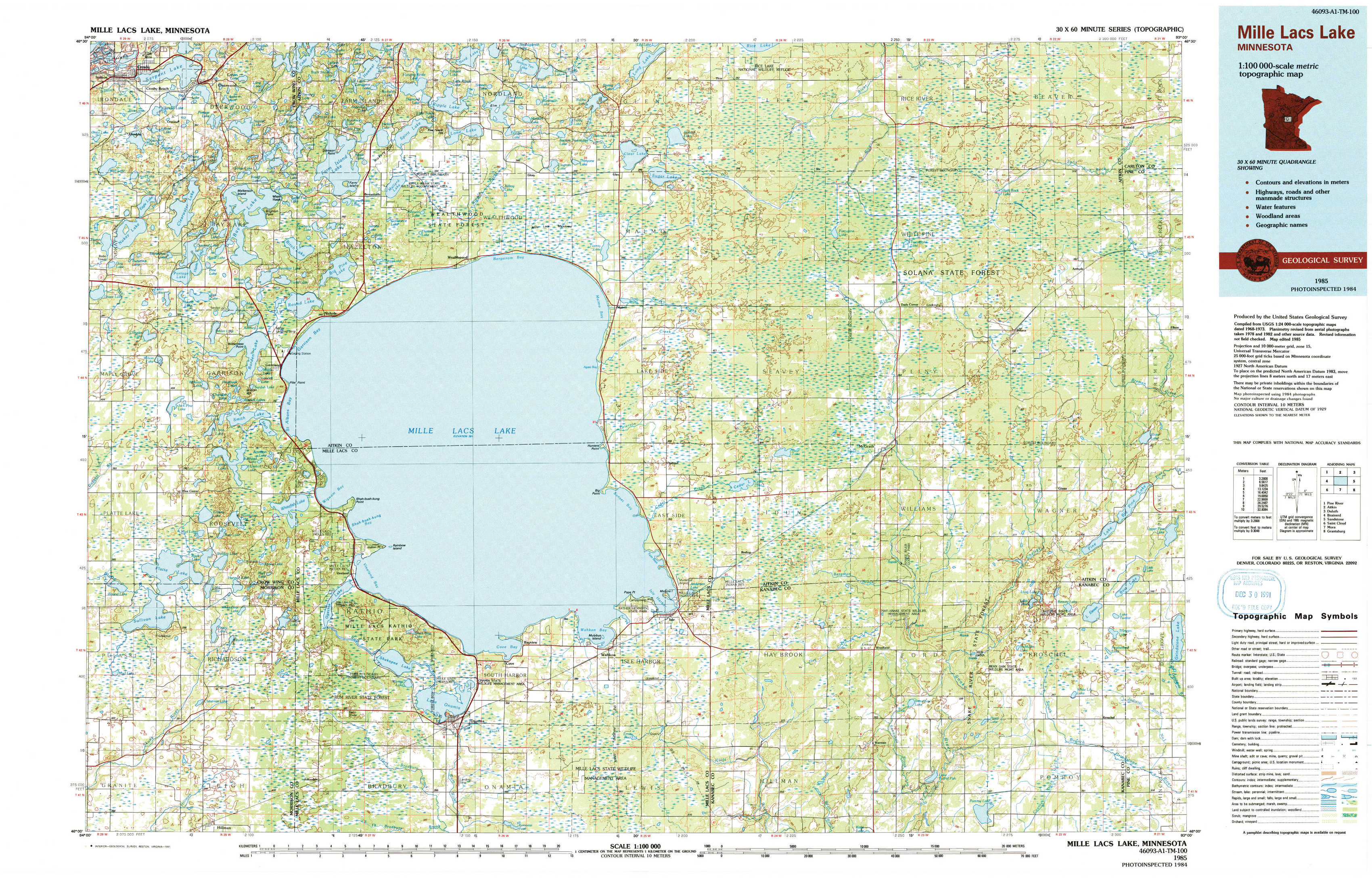
Mille Lacs Lake Topo Map Minnesota
To zoom in, hover over the map of Mille Lacs Lake
USGS Topo Map 46093a1 - 1:100,000 scale
| Topo Map Name: | Mille Lacs Lake |
| USGS Topo Quad ID: | 46093a1 |
| Print Size: | ca. 39" wide x 24" high |
| Southeast Coordinates: | 46° N latitude / 93° W longitude |
| Map Center Coordinates: | 46.25° N latitude / 93.5° W longitude |
| U.S. State: | MN |
| Filename: | 46093a1.jpg |
| Download Map JPG Image: | Mille Lacs Lake topo map 1:100,000 scale |
| Map Type: | Topographic |
| Topo Series: | 30´x60´ |
| Map Scale: | 1:100,000 |
| Source of Map Images: | United States Geological Survey (USGS) |
| Alternate Map Versions: |
Mille Lacs Lake MN 1985, updated 1985 Download PDF Buy paper map Mille Lacs Lake MN 1985, updated 1991 Download PDF Buy paper map |
1:100,000 Topos surrounding Mille Lacs Lake
Pine River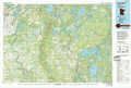 |
Aitkin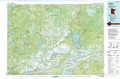 |
Duluth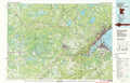 |
Brainerd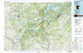 |
Mille Lacs Lake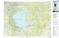 |
Sandstone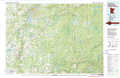 |
Saint Cloud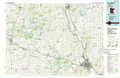 |
Mora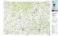 |
Grantsburg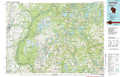 |
> Back to 46092a1 at 1:250,000 scale
> Back to U.S. Topo Maps home
1:24,000 Topo Quads covered by the spatial extent of this 100k map (Mille Lacs Lake)
|
Crosby 
|
Bay Lake 
|
Spirit Lake 
|
Glen 
|
Thor 
|
Thor Ne 
|
Split Rock Lake 
|
Ronald 
|
|
Grave Lake 
|
Garrison 
|
Wealthwood 
|
Malmo 
|
Thor Sw 
|
Thor Se 
|
Solana 
|
Arthyde 
|
|
Platte Lake 
|
Vineland 
|
Onamia Nw 
|
Wahkon North 
|
Isle 
|
Mcgrath 
|
Kroschel Nw 
|
Giese 
|
|
Hillman 
|
Hillman Se 
|
Onamia 
|
Wahkon South 
|
Isle Sw 
|
Warman 
|
Pomroy Lake 
|
Kroschel 
|