Casselton Topo Map North Dakota
To zoom in, hover over the map of Casselton
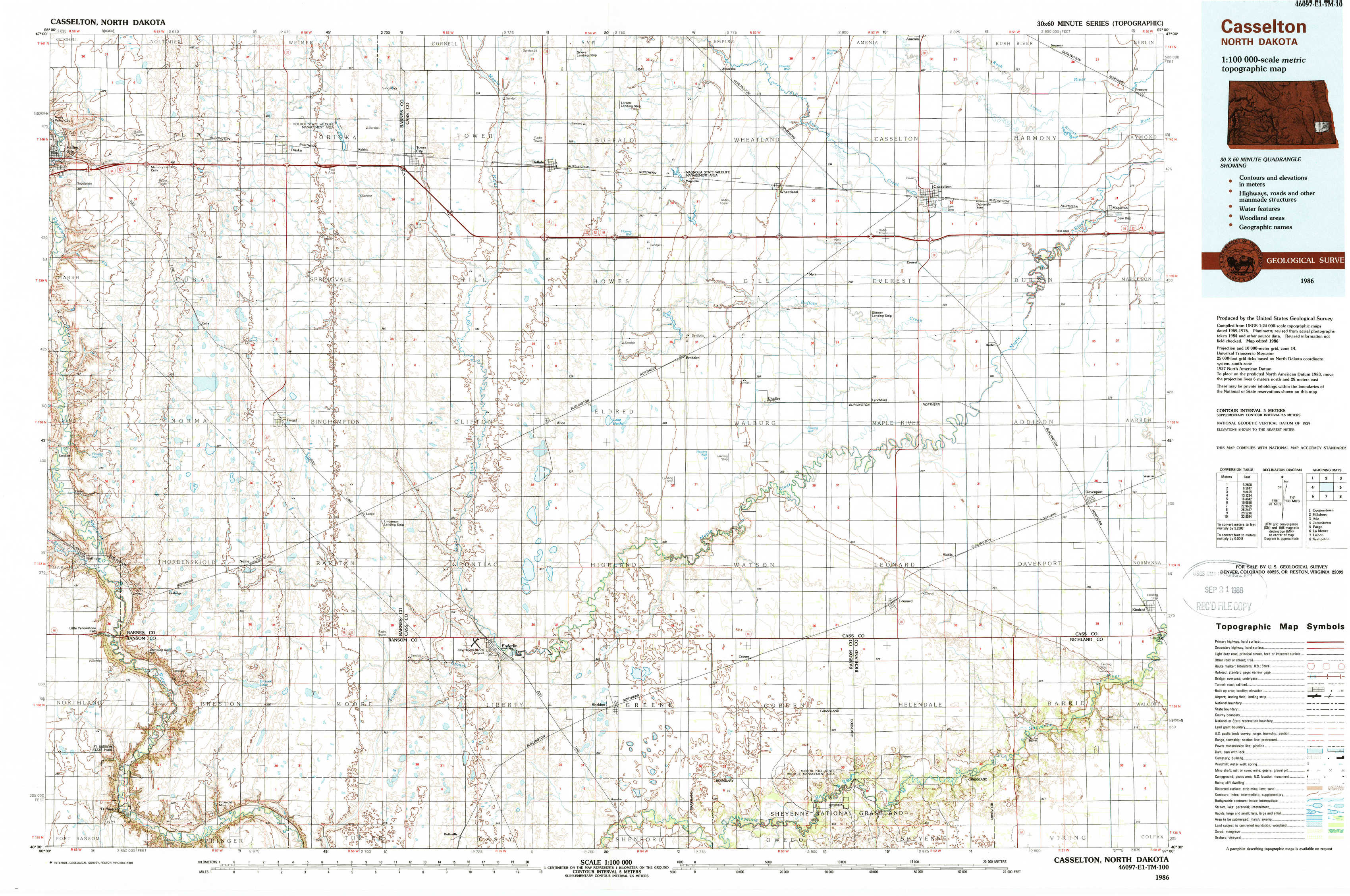
USGS Topo Map 46097e1 - 1:100,000 scale
| Topo Map Name: | Casselton |
| USGS Topo Quad ID: | 46097e1 |
| Print Size: | ca. 39" wide x 24" high |
| Southeast Coordinates: | 46.5° N latitude / 97° W longitude |
| Map Center Coordinates: | 46.75° N latitude / 97.5° W longitude |
| U.S. State: | ND |
| Filename: | 46097e1.jpg |
| Download Map JPG Image: | Casselton topo map 1:100,000 scale |
| Map Type: | Topographic |
| Topo Series: | 30´x60´ |
| Map Scale: | 1:100,000 |
| Source of Map Images: | United States Geological Survey (USGS) |
| Alternate Map Versions: |
Casselton ND 1986, updated 1986 Download PDF Buy paper map Casselton ND 1986, updated 1988 Download PDF Buy paper map |
1:100,000 Topos surrounding Casselton
Cooperstown |
Hillsboro |
Ada |
Jamestown |
Casselton |
Fargo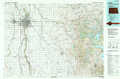 |
Lamoure |
Lisbon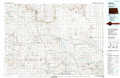 |
Wahpeton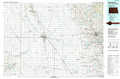 |
> Back to 46096a1 at 1:250,000 scale
> Back to U.S. Topo Maps home
1:24,000 Topo Quads covered by the spatial extent of this 100k map (Casselton)
|
Valley City East 
|
Oriska 
|
Tower City 
|
Buffalo 
|
Absaraka 
|
Wheatland 
|
Casselton 
|
Mapleton 
|
|
Fingal Sw 
|
Fingal 
|
Tower City Sw 
|
Alice 
|
Embden 
|
Chaffee 
|
Durbin 
|
Casselton Se 
|
|
Kathryn 
|
Nome 
|
Lucca 
|
Enderlin North 
|
Sheldon Nw 
|
Sheldon Ne 
|
Leonard 
|
Kindred 
|
|
Fort Ransom 
|
Nome Se 
|
Buttzville 
|
Enderlin South 
|
Sheldon 
|
Coburn 
|
Power 
|
Barrie 
|