Mott Topo Map North Dakota
To zoom in, hover over the map of Mott
USGS Topo Map 46102a1 - 1:100,000 scale
| Topo Map Name: | Mott |
| USGS Topo Quad ID: | 46102a1 |
| Print Size: | ca. 39" wide x 24" high |
| Southeast Coordinates: | 46° N latitude / 102° W longitude |
| Map Center Coordinates: | 46.25° N latitude / 102.5° W longitude |
| U.S. State: | ND |
| Filename: | 46102a1.jpg |
| Download Map JPG Image: | Mott topo map 1:100,000 scale |
| Map Type: | Topographic |
| Topo Series: | 30´x60´ |
| Map Scale: | 1:100,000 |
| Source of Map Images: | United States Geological Survey (USGS) |
| Alternate Map Versions: |
Mott ND 1980, updated 1981 Download PDF Buy paper map |
1:100,000 Topos surrounding Mott
Belfield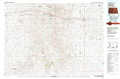 |
Dickinson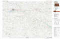 |
Glen Ullin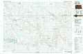 |
Bowman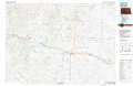 |
Mott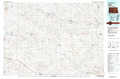 |
Elgin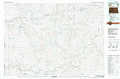 |
Camp Crook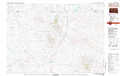 |
Lemmon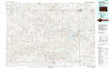 |
Mc Intosh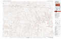 |
> Back to 46102a1 at 1:250,000 scale
> Back to U.S. Topo Maps home
1:24,000 Topo Quads covered by the spatial extent of this 100k map (Mott)
|
East Rainy Butte 
|
Jung Lake 
|
Havelock 
|
Regent 
|
Mott Nw 
|
Mott North 
|
Burt Nw 
|
North Star Butte 
|
|
Cedar Lake 
|
Enterprise School 
|
Liens Dams 
|
Abbey Hill 
|
Mott Sw 
|
Mott South 
|
Burt 
|
Bentley 
|
|
Whetstone Buttes 
|
Wolf Butte 
|
Ehler Lake 
|
Taylor Butte 
|
Pearl Butte Nw 
|
Long Butte 
|
Plum Butte 
|
Plum Butte Ne 
|
|
Reeder 
|
Bucyrus 
|
Hettinger North 
|
Taylor Butte Se 
|
Pearl Butte 
|
Barths Butte 
|
Cedar Butte 
|
Nason Hill 
|
