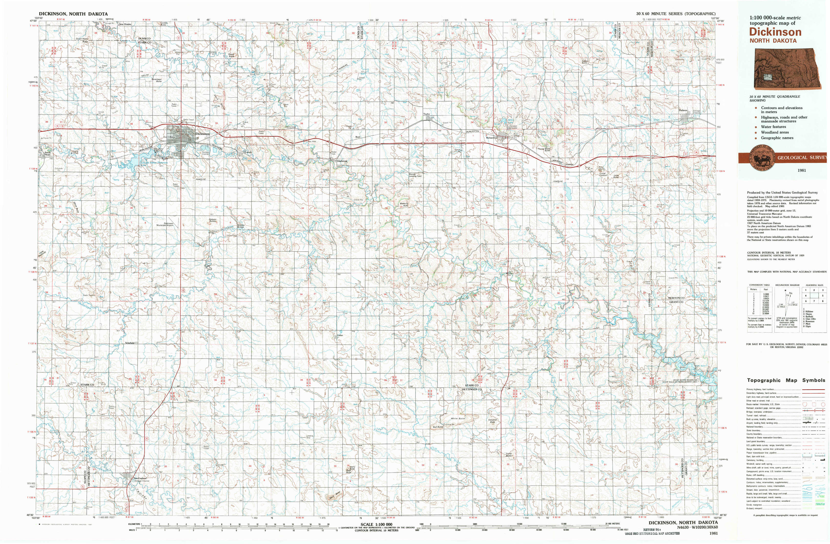
Dickinson Topo Map North Dakota
To zoom in, hover over the map of Dickinson
USGS Topo Map 46102e1 - 1:100,000 scale
| Topo Map Name: | Dickinson |
| USGS Topo Quad ID: | 46102e1 |
| Print Size: | ca. 39" wide x 24" high |
| Southeast Coordinates: | 46.5° N latitude / 102° W longitude |
| Map Center Coordinates: | 46.75° N latitude / 102.5° W longitude |
| U.S. State: | ND |
| Filename: | 46102e1.jpg |
| Download Map JPG Image: | Dickinson topo map 1:100,000 scale |
| Map Type: | Topographic |
| Topo Series: | 30´x60´ |
| Map Scale: | 1:100,000 |
| Source of Map Images: | United States Geological Survey (USGS) |
| Alternate Map Versions: |
Dickinson ND 1981, updated 1981 Download PDF Buy paper map |
1:100,000 Topos surrounding Dickinson
Grassy Butte |
Killdeer |
Hazen |
Belfield |
Dickinson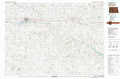 |
Glen Ullin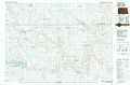 |
Bowman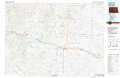 |
Mott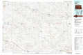 |
Elgin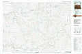 |
> Back to 46102a1 at 1:250,000 scale
> Back to U.S. Topo Maps home
1:24,000 Topo Quads covered by the spatial extent of this 100k map (Dickinson)
|
New Hradec South 
|
Dickinson North 
|
Davis Buttes 
|
Boyle 
|
Taylor 
|
Richardton 
|
Indian Butte 
|
Hebron 
|
|
South Heart 
|
Dickinson South 
|
Lehigh 
|
Gladstone 
|
Bratburg Butte 
|
Richardton Se 
|
Antelope 
|
Hebron Se 
|
|
New England Nw 
|
Schefield 
|
Lefor Nw 
|
Lefor 
|
White Butte Nw 
|
White Butte Ne 
|
Clark Butte Nw 
|
Clark Butte Ne 
|
|
New England Sw 
|
New England 
|
Lefor Sw 
|
Stony Butte 
|
White Butte West 
|
White Butte East 
|
Clark Butte Sw 
|
Clark Butte 
|