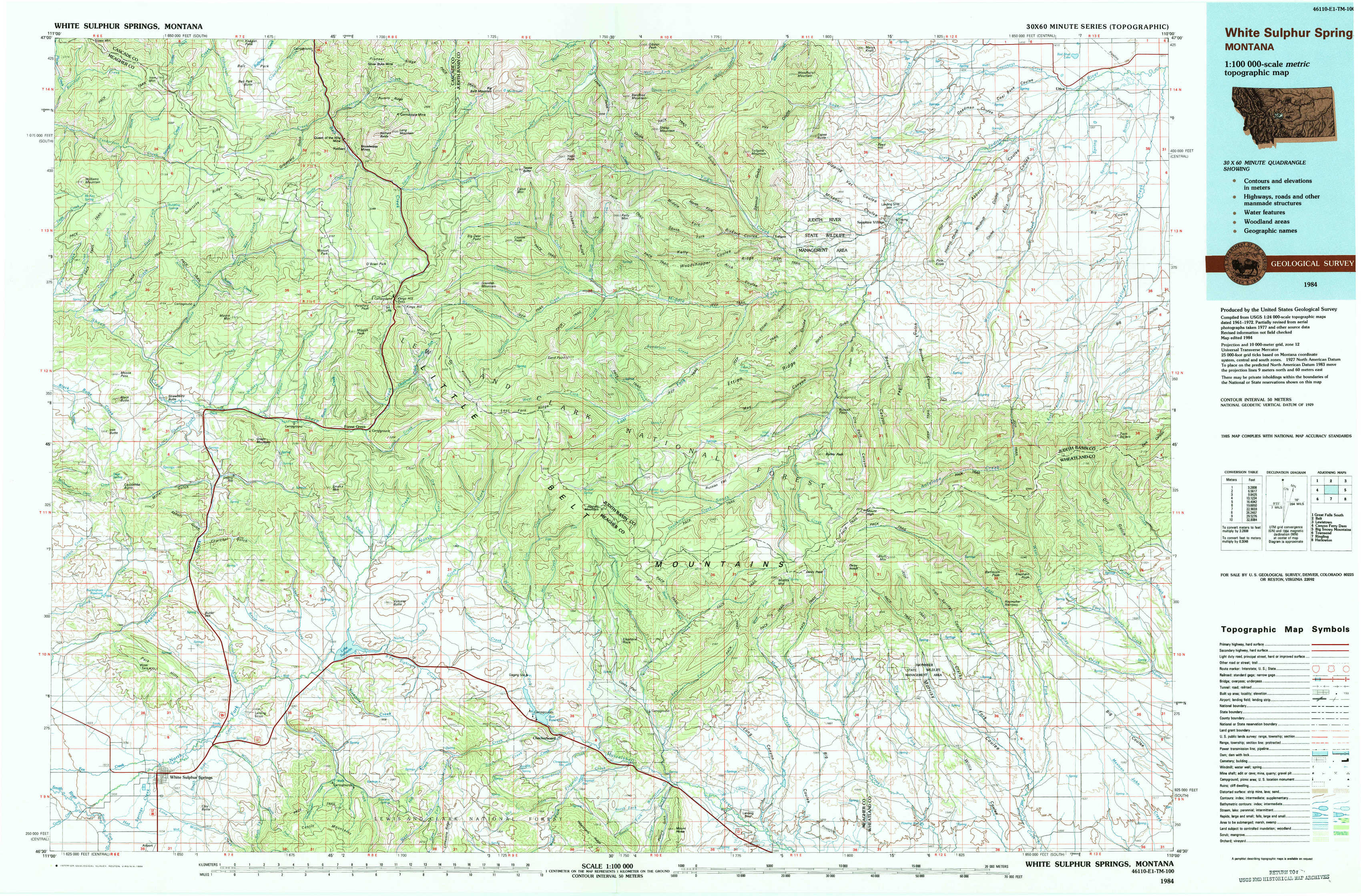
White Sulphur Springs Topo Map Montana
To zoom in, hover over the map of White Sulphur Springs
USGS Topo Map 46110e1 - 1:100,000 scale
| Topo Map Name: | White Sulphur Springs |
| USGS Topo Quad ID: | 46110e1 |
| Print Size: | ca. 39" wide x 24" high |
| Southeast Coordinates: | 46.5° N latitude / 110° W longitude |
| Map Center Coordinates: | 46.75° N latitude / 110.5° W longitude |
| U.S. State: | MT |
| Filename: | 46110e1.jpg |
| Download Map JPG Image: | White Sulphur Springs topo map 1:100,000 scale |
| Map Type: | Topographic |
| Topo Series: | 30´x60´ |
| Map Scale: | 1:100,000 |
| Source of Map Images: | United States Geological Survey (USGS) |
| Alternate Map Versions: |
White Sulphur Springs MT 1984, updated 1984 Download PDF Buy paper map |
1:100,000 Topos surrounding White Sulphur Springs
Great Falls South |
Belt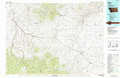 |
Lewistown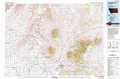 |
Canyon Ferry Dam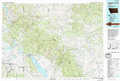 |
White Sulphur Springs |
Big Snowy Mountains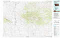 |
Townsend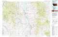 |
Ringling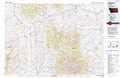 |
Harlowton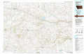 |
> Back to 46110a1 at 1:250,000 scale
> Back to U.S. Topo Maps home
1:24,000 Topo Quads covered by the spatial extent of this 100k map (White Sulphur Springs)
|
Bubbling Springs 
|
Belt Park Butte 
|
Neihart 
|
Yogo Peak 
|
Band Box Mountain 
|
Woodhurst Mountain 
|
Red Hill 
|
Utica 
|
|
Strawberry Butte 
|
Moose Mountain 
|
Kings Hill 
|
Sand Point 
|
Ettien Spring 
|
Indian Hill 
|
Browns Canyon 
|
Twin Sisters 
|
|
Coxcombe Butte 
|
Charcoal Gulch 
|
Volcano Butte 
|
Hoover Spring 
|
Russian Flat 
|
Daisy Peak 
|
Haymaker Narrows 
|
Jellison Place 
|
|
White Sulphur Springs 
|
Pinchout Creek 
|
Fourmile Spring 
|
Checkerboard 
|
Mount Howe 
|
Mud Creek 
|
Haymaker Ranch Sw 
|
Haymaker Ranch 
|