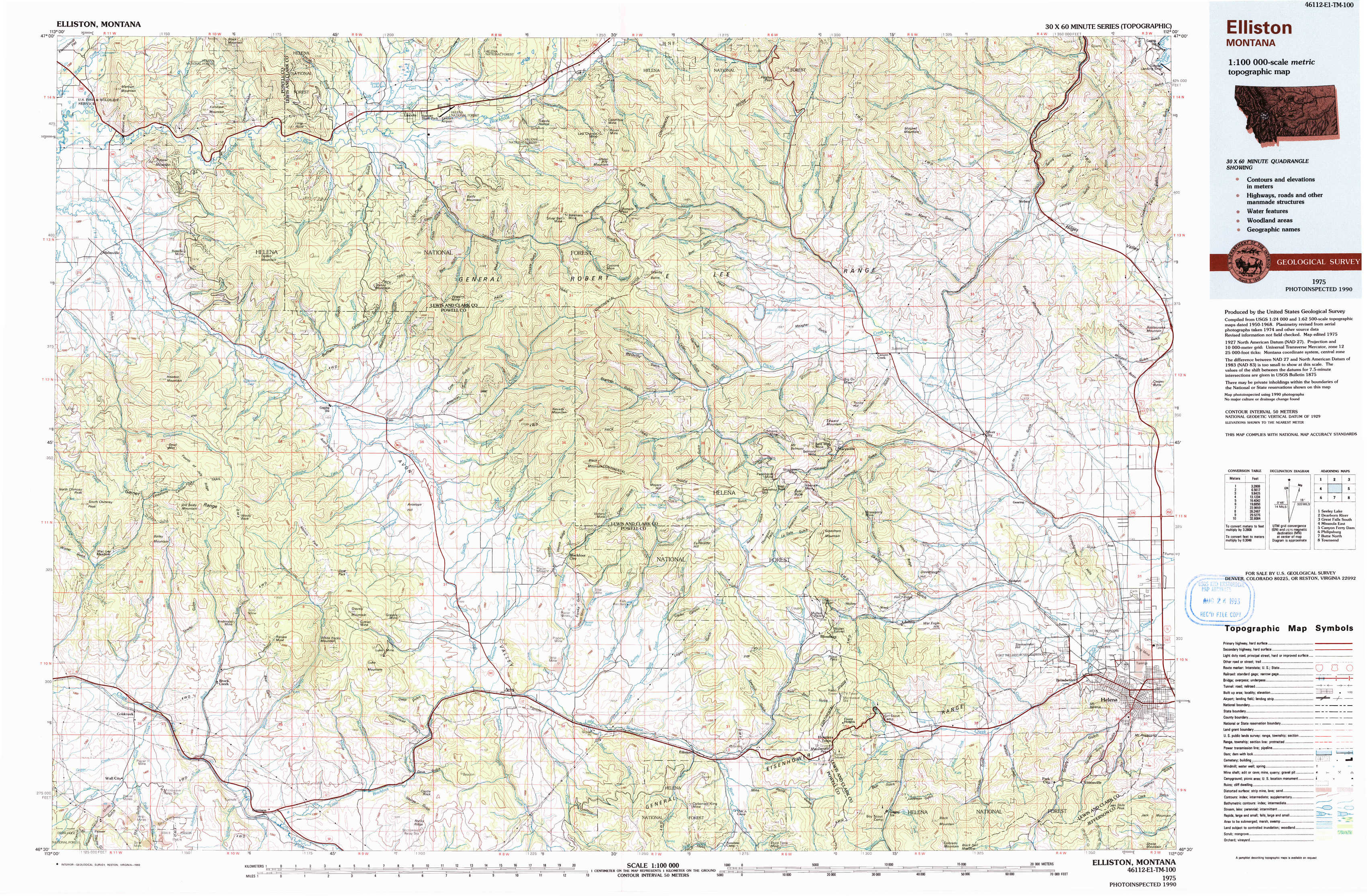
Elliston Topo Map Montana
To zoom in, hover over the map of Elliston
USGS Topo Map 46112e1 - 1:100,000 scale
| Topo Map Name: | Elliston |
| USGS Topo Quad ID: | 46112e1 |
| Print Size: | ca. 39" wide x 24" high |
| Southeast Coordinates: | 46.5° N latitude / 112° W longitude |
| Map Center Coordinates: | 46.75° N latitude / 112.5° W longitude |
| U.S. State: | MT |
| Filename: | 46112e1.jpg |
| Download Map JPG Image: | Elliston topo map 1:100,000 scale |
| Map Type: | Topographic |
| Topo Series: | 30´x60´ |
| Map Scale: | 1:100,000 |
| Source of Map Images: | United States Geological Survey (USGS) |
| Alternate Map Versions: |
Elliston MT 1975, updated 1993 Download PDF Buy paper map |
1:100,000 Topos surrounding Elliston
Seeley Lake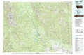 |
Dearborn River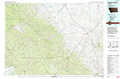 |
Great Falls South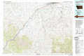 |
Missoula East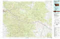 |
Elliston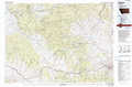 |
Canyon Ferry Dam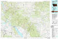 |
Philipsburg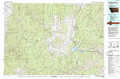 |
Butte North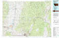 |
Townsend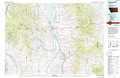 |
> Back to 46112a1 at 1:250,000 scale
> Back to U.S. Topo Maps home
1:24,000 Topo Quads covered by the spatial extent of this 100k map (Elliston)
|
Marcum Mountain 
|
Moose Creek 
|
Lincoln 
|
Swede Gulch 
|
Stemple Pass 
|
Wilborn 
|
Mitchell Mountain 
|
Sheep Creek 
|
|
Helmville 
|
Nevada Lake 
|
Finn 
|
Nevada Mountain 
|
Granite Butte 
|
Canyon Creek 
|
Silver City 
|
Rattlesnake Mountain 
|
|
Bailey Mountain 
|
Windy Rock 
|
Gravely Mountain 
|
Ophir Creek 
|
Esmeralda Hill 
|
Greenhorn Mountain 
|
Austin 
|
Scratchgravel Hill 
|
|
Griffin Creek 
|
Garrison 
|
Luke Mountain 
|
Avon 
|
Elliston 
|
Macdonald Pass 
|
Black Mountain 
|
Helena 
|