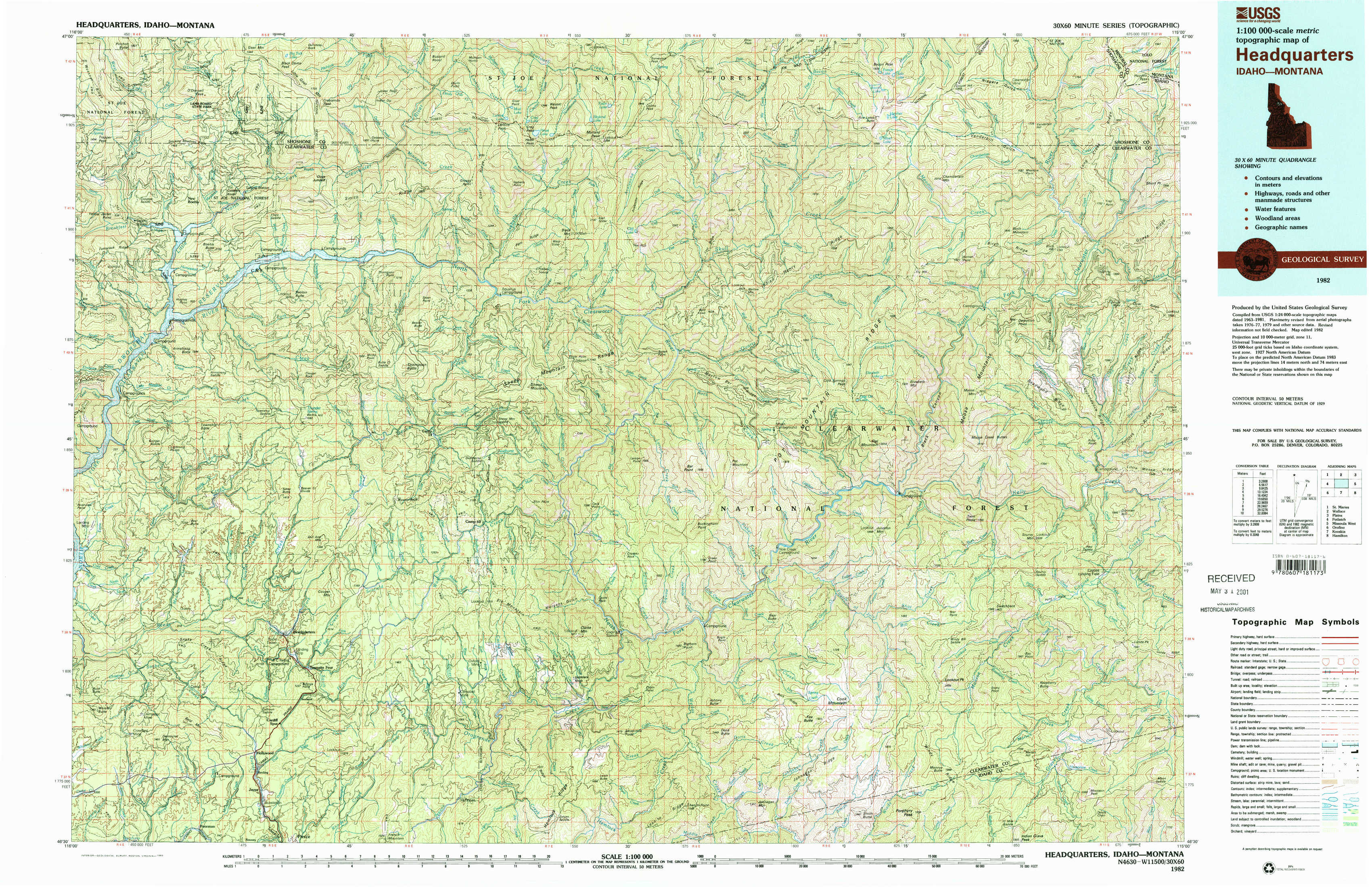
Headquarters Topo Map Idaho
To zoom in, hover over the map of Headquarters
USGS Topo Map 46115e1 - 1:100,000 scale
| Topo Map Name: | Headquarters |
| USGS Topo Quad ID: | 46115e1 |
| Print Size: | ca. 39" wide x 24" high |
| Southeast Coordinates: | 46.5° N latitude / 115° W longitude |
| Map Center Coordinates: | 46.75° N latitude / 115.5° W longitude |
| U.S. States: | ID, MT |
| Filename: | 46115e1.jpg |
| Download Map JPG Image: | Headquarters topo map 1:100,000 scale |
| Map Type: | Topographic |
| Topo Series: | 30´x60´ |
| Map Scale: | 1:100,000 |
| Source of Map Images: | United States Geological Survey (USGS) |
| Alternate Map Versions: |
Headquarters ID 1982, updated 1983 Download PDF Buy paper map |
1:100,000 Topos surrounding Headquarters
Saint Maries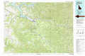 |
Wallace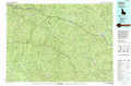 |
Plains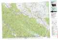 |
Potlatch |
Headquarters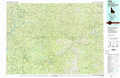 |
Missoula West |
Orofino |
Kooskia |
Hamilton |
> Back to 46114a1 at 1:250,000 scale
> Back to U.S. Topo Maps home
1:24,000 Topo Quads covered by the spatial extent of this 100k map (Headquarters)
|
Pinchot Butte 
|
Little Goat Mountains 
|
Buzzard Roost 
|
Mallard Peak 
|
Pole Mountain 
|
Bacon Peak 
|
Chamberlain Mountain 
|
Hoodoo Pass 
|
|
Township Butte 
|
Bertha Hill 
|
Thompson Point 
|
Sheep Mountain 
|
The Nub 
|
Elizabeth Lake 
|
Moose Mountain 
|
Osier Ridge 
|
|
John Lewis Mountain 
|
Headquarters 
|
Browns Rock 
|
Clarke Mountain 
|
Pot Mountain 
|
Junction Mountain 
|
Scurvy Mountain 
|
Gorman Hill 
|
|
Whiskey Butte 
|
Jaype 
|
French Mountain 
|
Larch Butte 
|
Lean-To Point 
|
Cook Mountain 
|
Lookout Peak 
|
Horseshoe Lake 
|