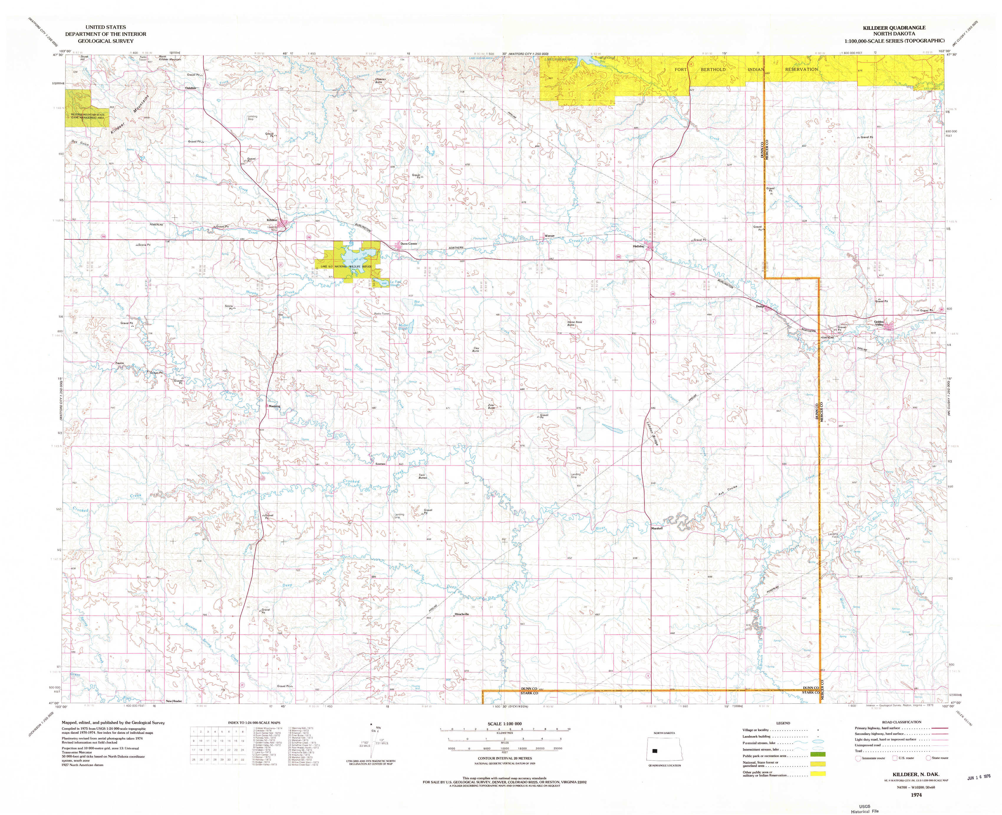
Killdeer Topo Map North Dakota
To zoom in, hover over the map of Killdeer
USGS Topo Map 47102a1 - 1:100,000 scale
| Topo Map Name: | Killdeer |
| USGS Topo Quad ID: | 47102a1 |
| Print Size: | ca. 39" wide x 24" high |
| Southeast Coordinates: | 47° N latitude / 102° W longitude |
| Map Center Coordinates: | 47.25° N latitude / 102.5° W longitude |
| U.S. State: | ND |
| Filename: | 47102a1.jpg |
| Download Map JPG Image: | Killdeer topo map 1:100,000 scale |
| Map Type: | Topographic |
| Topo Series: | 30´x60´ |
| Map Scale: | 1:100,000 |
| Source of Map Images: | United States Geological Survey (USGS) |
| Alternate Map Versions: |
Killdeer ND 1974, updated 1976 Download PDF Buy paper map |
1:100,000 Topos surrounding Killdeer
Watford City |
Parshall |
Garrison |
Grassy Butte |
Killdeer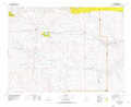 |
Hazen |
Belfield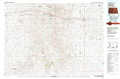 |
Dickinson |
Glen Ullin |
> Back to 47102a1 at 1:250,000 scale
> Back to U.S. Topo Maps home
1:24,000 Topo Quads covered by the spatial extent of this 100k map (Killdeer)
|
Killdeer Mountains 
|
Oakdale 
|
Dunn Center Nw 
|
Dunn Center Ne 
|
Halliday Nw 
|
Halliday Ne 
|
Golden Valley Nw 
|
Golden Valley Ne 
|
|
Fayette 
|
Killdeer 
|
Lake Ilo 
|
Dunn Center 
|
Werner 
|
Halliday 
|
Dodge 
|
Golden Valley 
|
|
Manning Nw 
|
Manning 
|
Emerson 
|
Ziner Butte 
|
Marshall Nw 
|
Marshall 
|
Schaffner Creek 
|
Schaffner Creek Ne 
|
|
New Hradec North 
|
Manning Se 
|
Hirschville Sw 
|
Hirschville 
|
Marshall Sw 
|
Marshall Se 
|
Willow Creek West 
|
Willow Creek East 
|