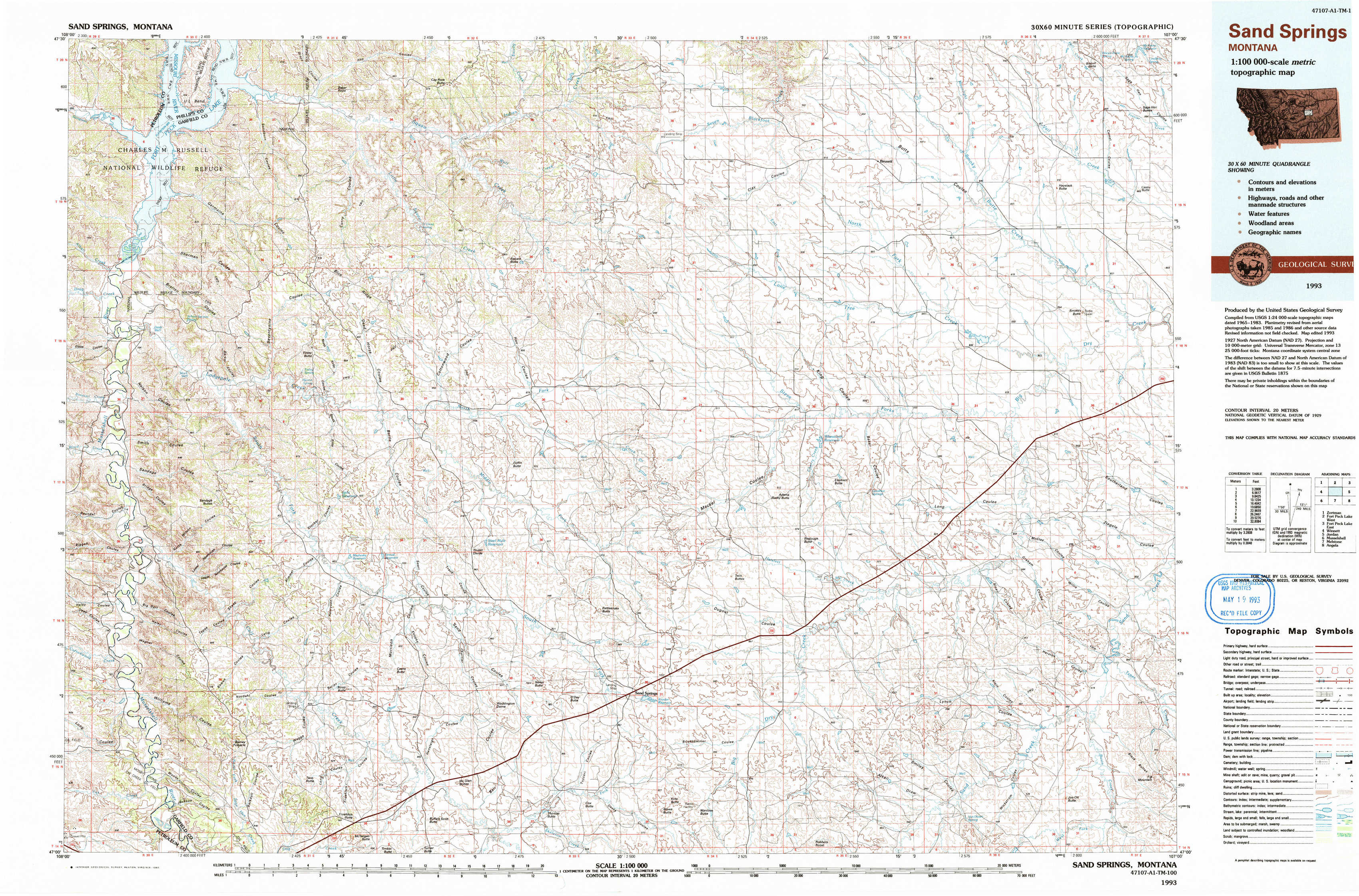
Sand Springs Topo Map Montana
To zoom in, hover over the map of Sand Springs
USGS Topo Map 47107a1 - 1:100,000 scale
| Topo Map Name: | Sand Springs |
| USGS Topo Quad ID: | 47107a1 |
| Print Size: | ca. 39" wide x 24" high |
| Southeast Coordinates: | 47° N latitude / 107° W longitude |
| Map Center Coordinates: | 47.25° N latitude / 107.5° W longitude |
| U.S. State: | MT |
| Filename: | 47107a1.jpg |
| Download Map JPG Image: | Sand Springs topo map 1:100,000 scale |
| Map Type: | Topographic |
| Topo Series: | 30´x60´ |
| Map Scale: | 1:100,000 |
| Source of Map Images: | United States Geological Survey (USGS) |
| Alternate Map Versions: |
Sand Springs MT 1993, updated 1993 Download PDF Buy paper map |
1:100,000 Topos surrounding Sand Springs
Zortman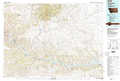 |
Fort Peck Lake West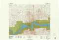 |
Fort Peck Lake East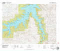 |
Winnett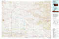 |
Sand Springs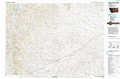 |
Jordan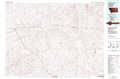 |
Musselshell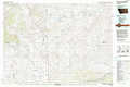 |
Melstone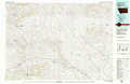 |
Angela |
> Back to 47106a1 at 1:250,000 scale
> Back to U.S. Topo Maps home
1:24,000 Topo Quads covered by the spatial extent of this 100k map (Sand Springs)
|
Germaine Coulee West 
|
Germaine Coulee East 
|
Cap Rock Butte 
|
Spring Creek School 
|
Blackfoot School 
|
Brusett 
|
Moonlight Creek 
|
Biscuit Butte 
|
|
Nelson Coulee 
|
Seventynine Coulee 
|
Benzien 
|
Hay Coulee 
|
Steve Forks Sw 
|
Steve Forks 
|
Smoky Butte Creek 
|
Smoky Butte 
|
|
Bridge Coulee 
|
Lelig Coulee 
|
Searl Coulee 
|
Coffin Butte 
|
Twin Buttes 
|
Edwards 
|
Big Dry School 
|
Ziegele 
|
|
Fail Ranch 
|
Barney Pinnacle 
|
Froehlich Butte 
|
Cox Butte 
|
Sand Springs 
|
Robertson School 
|
Van Dusen Spring 
|
Fig Mountain 
|