Rosalia Topo Map Washington
To zoom in, hover over the map of Rosalia
USGS Topo Map 47117a1 - 1:100,000 scale
| Topo Map Name: | Rosalia |
| USGS Topo Quad ID: | 47117a1 |
| Print Size: | ca. 39" wide x 24" high |
| Southeast Coordinates: | 47° N latitude / 117° W longitude |
| Map Center Coordinates: | 47.25° N latitude / 117.5° W longitude |
| U.S. States: | WA, ID |
| Filename: | 47117a1.jpg |
| Download Map JPG Image: | Rosalia topo map 1:100,000 scale |
| Map Type: | Topographic |
| Topo Series: | 30´x60´ |
| Map Scale: | 1:100,000 |
| Source of Map Images: | United States Geological Survey (USGS) |
| Alternate Map Versions: |
Rosalia WA 1984, updated 1984 Download PDF Buy paper map |
1:100,000 Topos surrounding Rosalia
Coulee Dam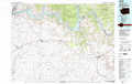 |
Spokane |
Coeur D'Alene |
Ritzville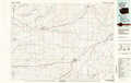 |
Rosalia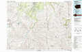 |
Saint Maries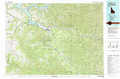 |
Connell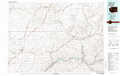 |
Pullman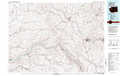 |
Potlatch |
> Back to 47116a1 at 1:250,000 scale
> Back to U.S. Topo Maps home
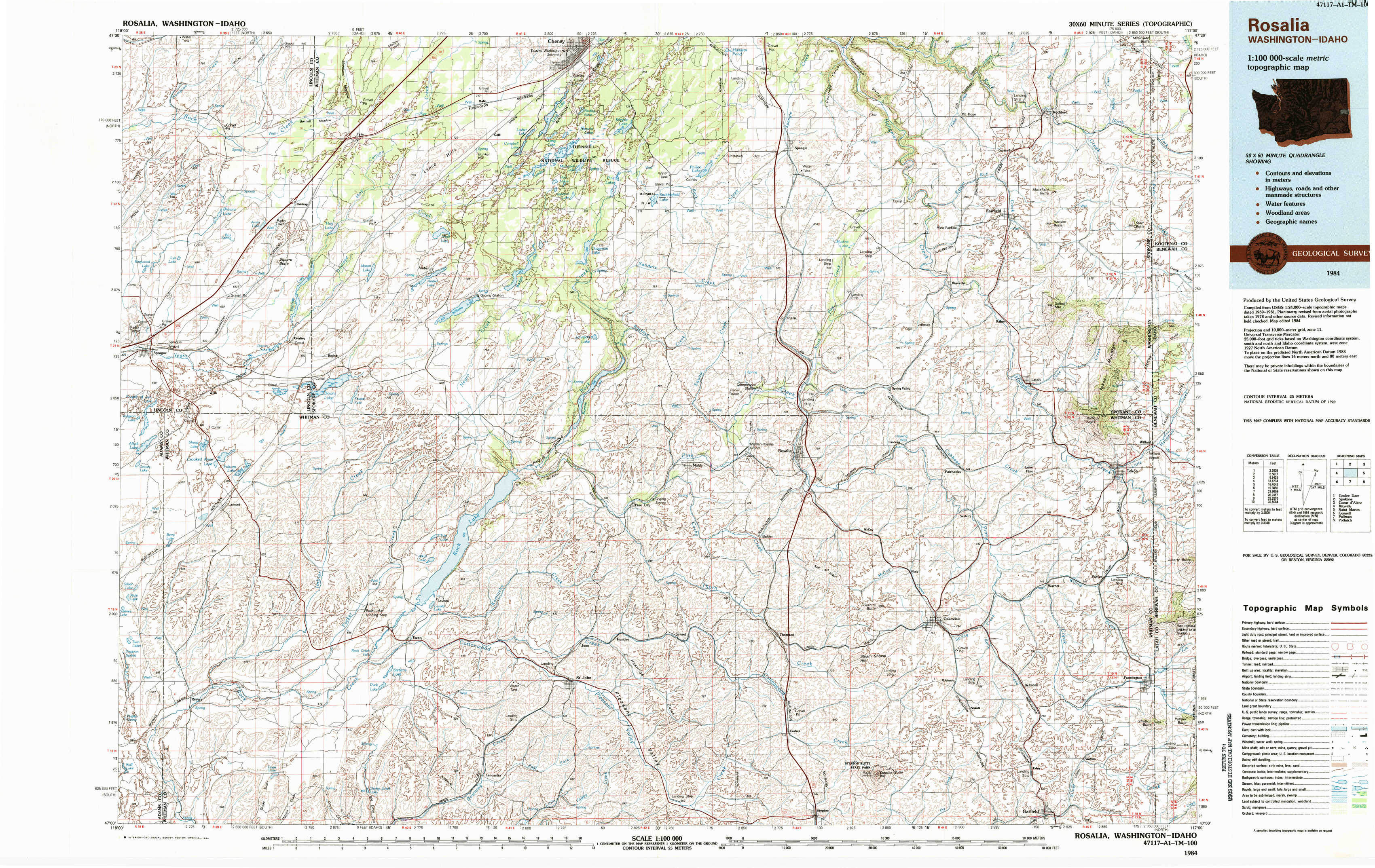
1:24,000 Topo Quads covered by the spatial extent of this 100k map (Rosalia)
|
Sassin 
|
Tyler 
|
Lance Hills 
|
Cheney 
|
Spangle West 
|
Spangle East 
|
Fairfield 
|
Setters 
|
|
Sprague 
|
Fishtrap Lake 
|
Amber 
|
Chapman Lake 
|
Plaza 
|
Spring Valley 
|
Latah 
|
Tekoa Mountain 
|
|
Lamont 
|
Lamont Ne 
|
Rock Lake 
|
Pine City 
|
Malden 
|
Rosalia 
|
Oakesdale 
|
Tekoa 
|
|
Revere 
|
Texas Lake 
|
Ewan 
|
Saint John 
|
Thornton 
|
Steptoe 
|
Garfield 
|
Farmington 
|