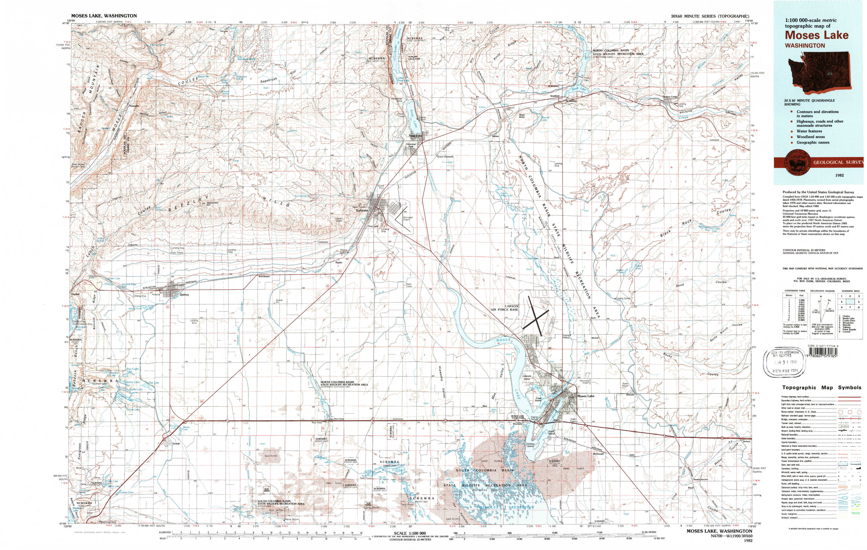
Moses Lake Topo Map Washington
To zoom in, hover over the map of Moses Lake
USGS Topo Map 47119a1 - 1:100,000 scale
| Topo Map Name: | Moses Lake |
| USGS Topo Quad ID: | 47119a1 |
| Print Size: | ca. 39" wide x 24" high |
| Southeast Coordinates: | 47° N latitude / 119° W longitude |
| Map Center Coordinates: | 47.25° N latitude / 119.5° W longitude |
| U.S. State: | WA |
| Filename: | 47119a1.jpg |
| Download Map JPG Image: | Moses Lake topo map 1:100,000 scale |
| Map Type: | Topographic |
| Topo Series: | 30´x60´ |
| Map Scale: | 1:100,000 |
| Source of Map Images: | United States Geological Survey (USGS) |
| Alternate Map Versions: |
Moses Lake WA 1982, updated 1983 Download PDF Buy paper map Moses Lake WA 1982, updated 1983 Download PDF Buy paper map |
1:100,000 Topos surrounding Moses Lake
Chelan |
Banks Lake |
Coulee Dam |
Wenatchee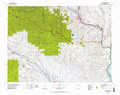 |
Moses Lake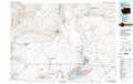 |
Ritzville |
Yakima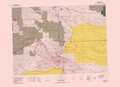 |
Priest Rapids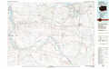 |
Connell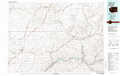 |
> Back to 47118a1 at 1:250,000 scale
> Back to U.S. Topo Maps home
1:24,000 Topo Quads covered by the spatial extent of this 100k map (Moses Lake)
|
Palisades 
|
Rattlesnake Springs 
|
Sagebrush Flat 
|
Little Soap Lake 
|
Soap Lake 
|
Stratford 
|
Wilson Creek Nw 
|
Wilson Creek 
|
|
Appledale 
|
Monument Hill 
|
Ephrata Sw 
|
Ephrata 
|
Grant Orchards 
|
Gloyd 
|
Wilson Creek Sw 
|
Wilson Creek Se 
|
|
Babcock Ridge 
|
Quincy 
|
Winchester 
|
Winchester Ne 
|
Moses Lake Nw 
|
Moses Lake North 
|
Wheeler 
|
Wheeler Ne 
|
|
Evergreen Ridge 
|
George 
|
Winchester Sw 
|
Winchester Se 
|
Mae 
|
Moses Lake South 
|
Sieler 
|
Bassett Junction 
|