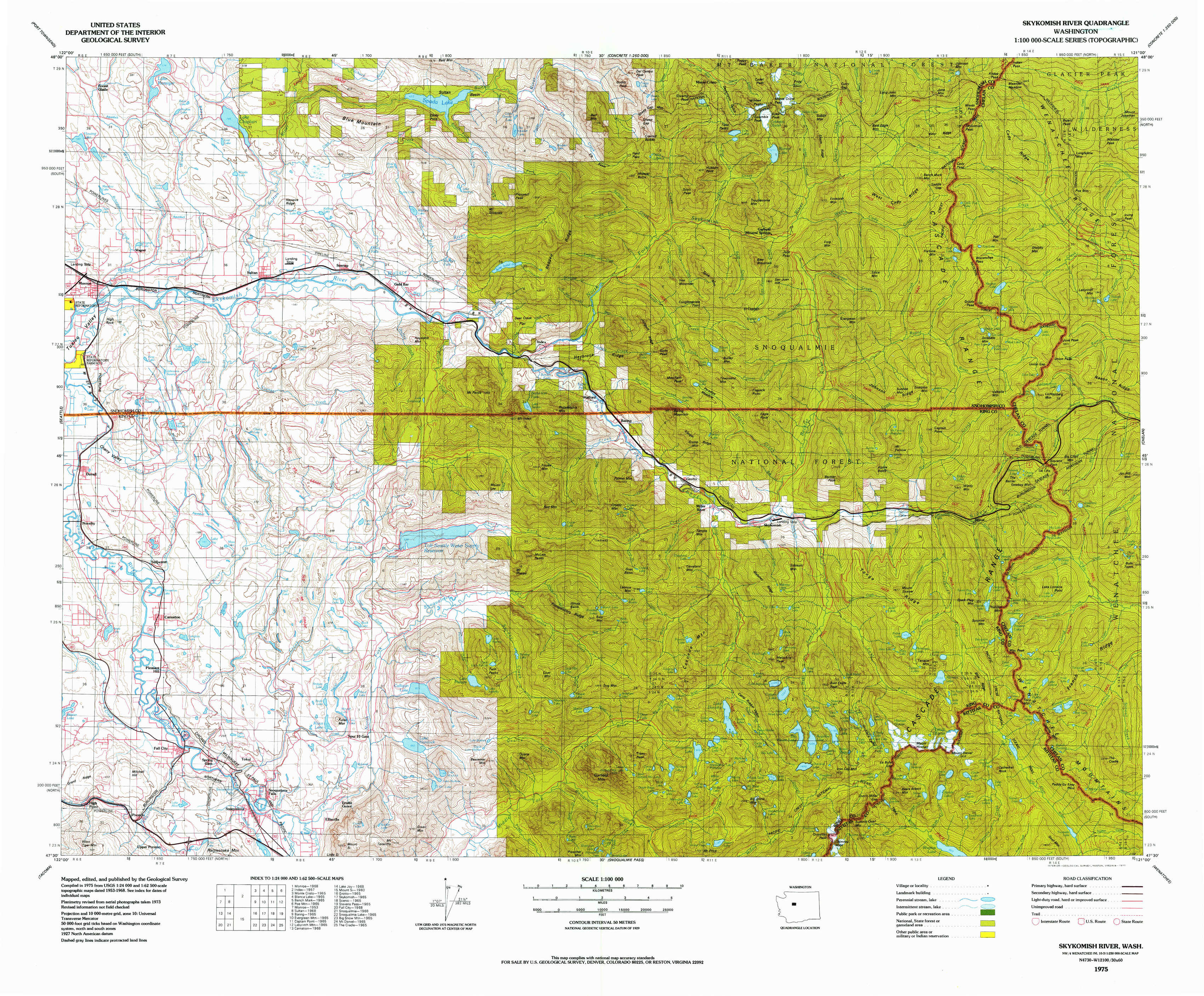
Skykomish River Topo Map Washington
To zoom in, hover over the map of Skykomish River
USGS Topo Map 47121e1 - 1:100,000 scale
| Topo Map Name: | Skykomish River |
| USGS Topo Quad ID: | 47121e1 |
| Print Size: | ca. 39" wide x 24" high |
| Southeast Coordinates: | 47.5° N latitude / 121° W longitude |
| Map Center Coordinates: | 47.75° N latitude / 121.5° W longitude |
| U.S. State: | WA |
| Filename: | 47121e1.jpg |
| Download Map JPG Image: | Skykomish River topo map 1:100,000 scale |
| Map Type: | Topographic |
| Topo Series: | 30´x60´ |
| Map Scale: | 1:100,000 |
| Source of Map Images: | United States Geological Survey (USGS) |
| Alternate Map Versions: |
Skykomish River WA 1975, updated 1977 Download PDF Buy paper map Skykomish River WA 1975, updated 1977 Download PDF Buy paper map |
1:100,000 Topos surrounding Skykomish River
Port Townsend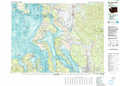 |
Sauk River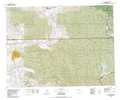 |
Twisp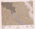 |
Seattle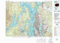 |
Skykomish River |
Chelan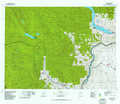 |
Tacoma |
Snoqualmie Pass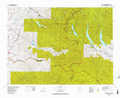 |
Wenatchee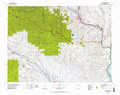 |
> Back to 47120a1 at 1:250,000 scale
> Back to U.S. Topo Maps home
1:24,000 Topo Quads covered by the spatial extent of this 100k map (Skykomish River)
|
Lake Roesiger 
|
Lake Chaplain 
|
Wallace Lake 
|
Mount Stickney 
|
Monte Cristo 
|
Blanca Lake 
|
Benchmark Mountain 
|
Poe Mountain 
|
|
Monroe 
|
Sultan 
|
Gold Bar 
|
Index 
|
Baring 
|
Evergreen Mountain 
|
Captain Point 
|
Labyrinth Mountain 
|
|
Carnation 
|
Lake Joy 
|
Tolt Reservoir 
|
Mount Phelps 
|
Grotto 
|
Skykomish 
|
Scenic 
|
Stevens Pass 
|
|
Fall City 
|
Snoqualmie 
|
Mount Si 
|
Lake Philippa 
|
Snoqualmie Lake 
|
Big Snow Mountain 
|
Mount Daniel 
|
The Cradle 
|