Shelton Topo Map Washington
To zoom in, hover over the map of Shelton
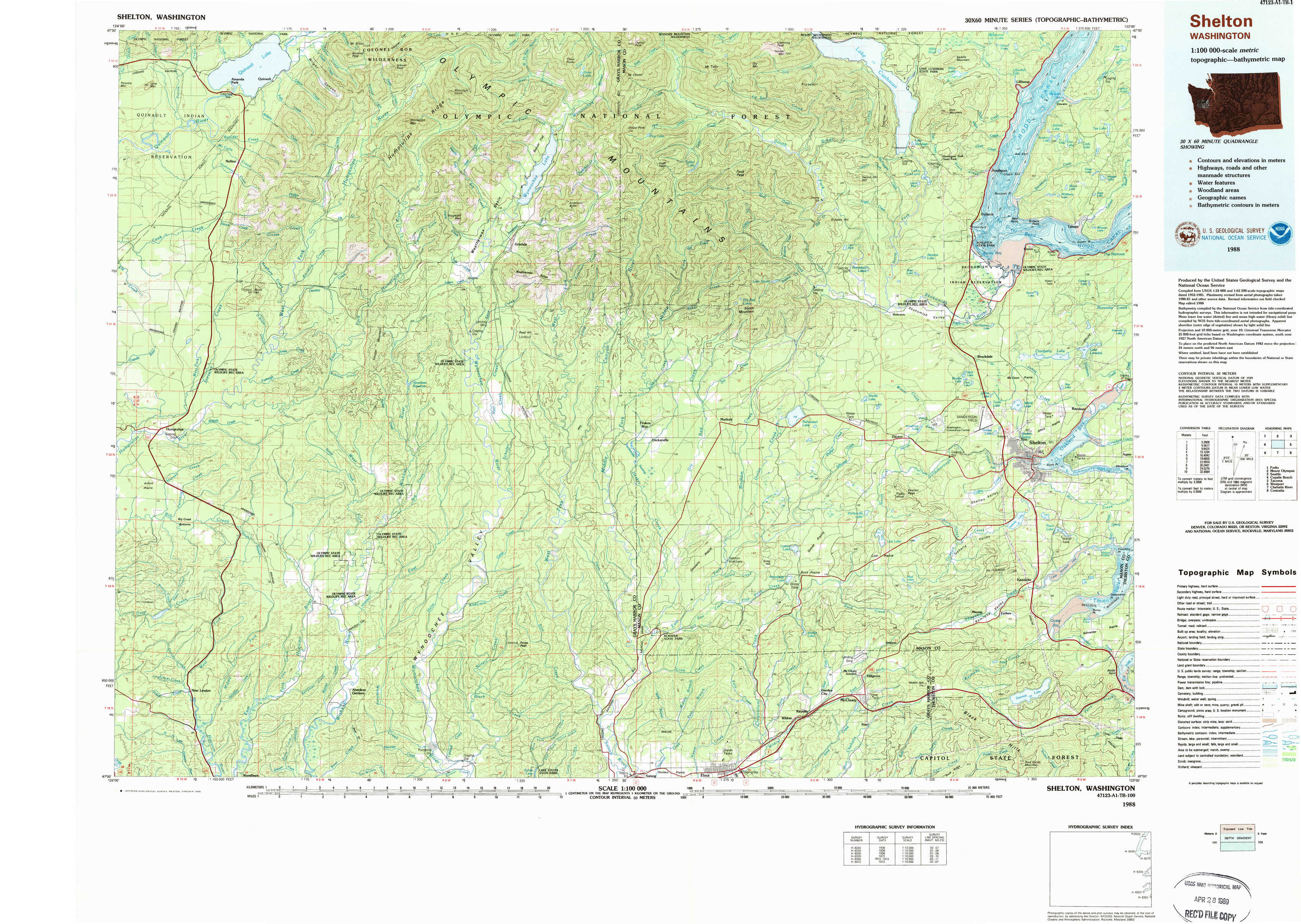
USGS Topo Map 47123a1 - 1:100,000 scale
| Topo Map Name: | Shelton |
| USGS Topo Quad ID: | 47123a1 |
| Print Size: | ca. 39" wide x 24" high |
| Southeast Coordinates: | 47° N latitude / 123° W longitude |
| Map Center Coordinates: | 47.25° N latitude / 123.5° W longitude |
| U.S. State: | WA |
| Filename: | 47123a1.jpg |
| Download Map JPG Image: | Shelton topo map 1:100,000 scale |
| Map Type: | Topographic |
| Topo Series: | 30´x60´ |
| Map Scale: | 1:100,000 |
| Source of Map Images: | United States Geological Survey (USGS) |
| Alternate Map Versions: |
Shelton WA 1988, updated 1988 Download PDF Buy paper map |
1:100,000 Topos surrounding Shelton
Forks |
Mount Olympus |
Seattle |
Copalis Beach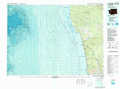 |
Shelton |
Tacoma |
Westport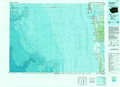 |
Chehalis River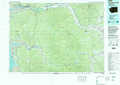 |
Centralia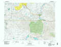 |
> Back to 47122a1 at 1:250,000 scale
> Back to U.S. Topo Maps home
1:24,000 Topo Quads covered by the spatial extent of this 100k map (Shelton)
|
Quinault Lake West 
|
Quinault Lake East 
|
Colonel Bob 
|
Wynoochee Lake 
|
Mount Tebo 
|
Lightning Peak 
|
Hoodsport 
|
Lilliwaup 
|
|
Stevens Creek 
|
Burnt Hill 
|
Larsen Creek 
|
Grisdale 
|
Dry Bed Lakes 
|
Vance Creek 
|
Skokomish Valley 
|
Union 
|
|
Humptulips 
|
Railroad Camp 
|
Wynoochee Valley Nw 
|
Wynoochee Valley Ne 
|
Matlock 
|
Nahwatzel Lake 
|
Shelton Valley 
|
Shelton 
|
|
New London 
|
Aberdeen Gardens 
|
Wynoochee Valley Sw 
|
Prices Peak 
|
Elma 
|
Mccleary 
|
Kamilche Valley 
|
Summit Lake 
|