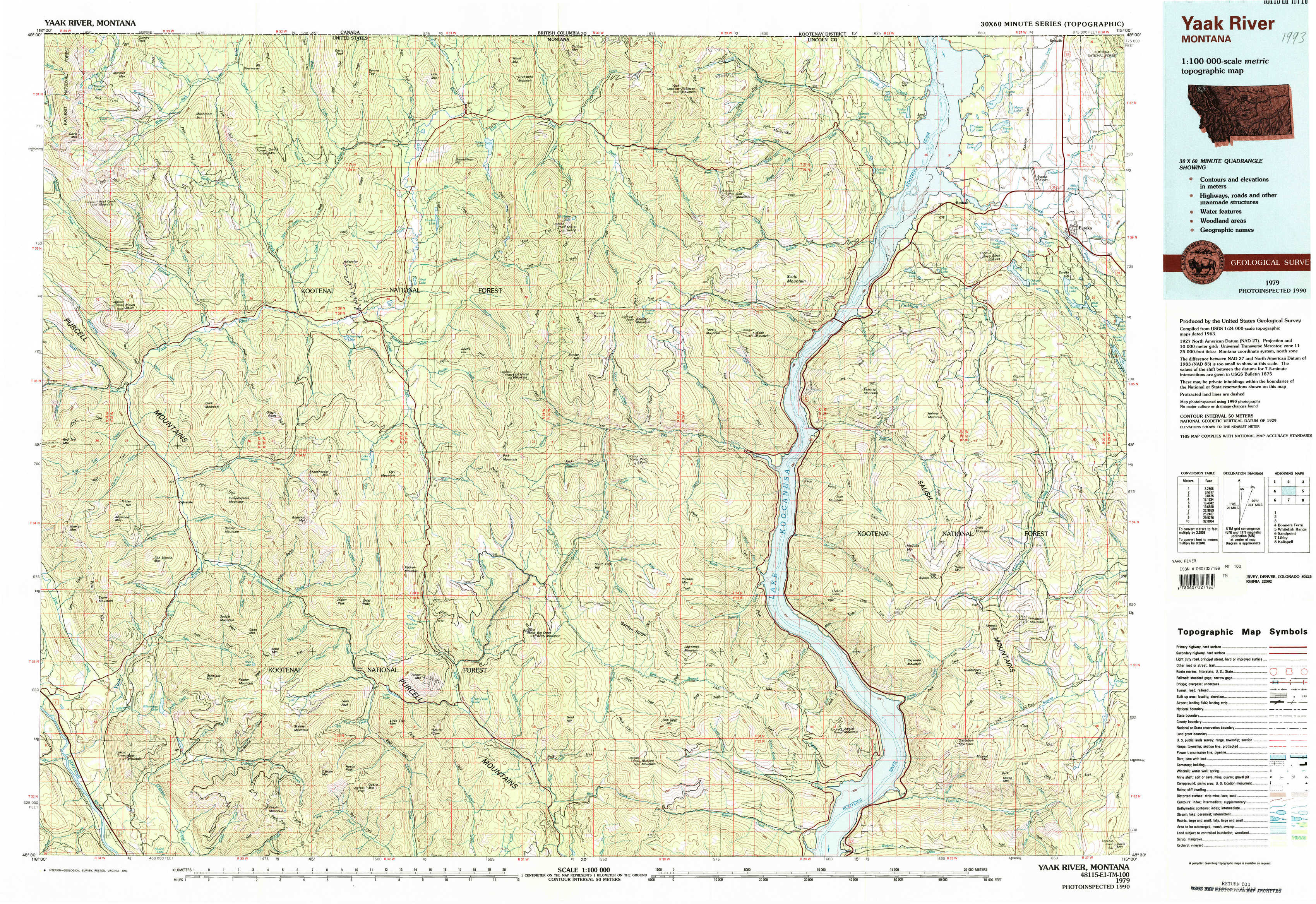
Yaak River Topo Map Montana
To zoom in, hover over the map of Yaak River
USGS Topo Map 48115e1 - 1:100,000 scale
| Topo Map Name: | Yaak River |
| USGS Topo Quad ID: | 48115e1 |
| Print Size: | ca. 39" wide x 24" high |
| Southeast Coordinates: | 48.5° N latitude / 115° W longitude |
| Map Center Coordinates: | 48.75° N latitude / 115.5° W longitude |
| U.S. State: | MT |
| Filename: | 48115e1.jpg |
| Download Map JPG Image: | Yaak River topo map 1:100,000 scale |
| Map Type: | Topographic |
| Topo Series: | 30´x60´ |
| Map Scale: | 1:100,000 |
| Source of Map Images: | United States Geological Survey (USGS) |
| Alternate Map Versions: |
Yaak River MT 1979, updated 1993 Download PDF Buy paper map |
1:100,000 Topos surrounding Yaak River
Bonners Ferry |
Yaak River |
Whitefish Range |
Sandpoint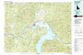 |
Libby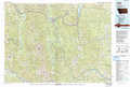 |
Kalispell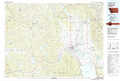 |
> Back to 48114a1 at 1:250,000 scale
> Back to U.S. Topo Maps home
1:24,000 Topo Quads covered by the spatial extent of this 100k map (Yaak River)
|
Northwest Peak 
|
Garver Mountain 
|
Bonnet Top 
|
Mount Henry 
|
Robinson Mountain 
|
Red Mountain 
|
Rexford 
|
Eureka North 
|
|
Mount Baldy 
|
Clark Mountain 
|
Yaak 
|
Lost Horse Mountain 
|
Boulder Lakes 
|
Webb Mountain 
|
Beartrap Mountain 
|
Eureka South 
|
|
Newton Mountain 
|
Sylvanite 
|
Flatiron Mountain 
|
Pink Mountain 
|
Parsnip Mountain 
|
Inch Mountain 
|
Mcguire Mountain 
|
Pinkham Mountain 
|
|
Kilbrennan Lake 
|
Pulpit Mountain 
|
Turner Mountain 
|
Gold Hill 
|
Banfield Mountain 
|
Ural 
|
Volcour 
|
Davis Mountain 
|