Sauk River Topo Map Washington
To zoom in, hover over the map of Sauk River
USGS Topo Map 48121a1 - 1:100,000 scale
| Topo Map Name: | Sauk River |
| USGS Topo Quad ID: | 48121a1 |
| Print Size: | ca. 39" wide x 24" high |
| Southeast Coordinates: | 48° N latitude / 121° W longitude |
| Map Center Coordinates: | 48.25° N latitude / 121.5° W longitude |
| U.S. State: | WA |
| Filename: | 48121a1.jpg |
| Download Map JPG Image: | Sauk River topo map 1:100,000 scale |
| Map Type: | Topographic |
| Topo Series: | 30´x60´ |
| Map Scale: | 1:100,000 |
| Source of Map Images: | United States Geological Survey (USGS) |
| Alternate Map Versions: | none available in database |
1:100,000 Topos surrounding Sauk River
Bellingham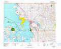 |
Mount Baker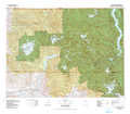 |
Robinson Mountain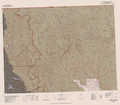 |
Port Townsend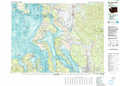 |
Sauk River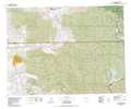 |
Twisp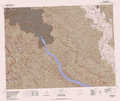 |
Seattle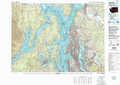 |
Skykomish River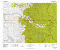 |
Chelan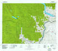 |
> Back to 48120a1 at 1:250,000 scale
> Back to U.S. Topo Maps home
1:24,000 Topo Quads covered by the spatial extent of this 100k map (Sauk River)
|
Day Lake 
|
Gee Point 
|
Finney Peak 
|
Rockport 
|
Illabot Peaks 
|
Snowking Mountain 
|
Sonny Boy Lakes 
|
Cascade Pass 
|
|
Oso 
|
Mount Higgins 
|
Fortson 
|
Darrington 
|
Prairie Mountain 
|
Huckleberry Mountain 
|
Downey Mountain 
|
Dome Peak 
|
|
Riley Lake 
|
Meadow Mountain 
|
Whitehorse Mountain 
|
Helena Ridge 
|
White Chuck Mountain 
|
Pugh Mountain 
|
Lime Mountain 
|
Gamma Peak 
|
|
Granite Falls 
|
Verlot 
|
Mallardy Ridge 
|
Silverton 
|
Bedal 
|
Sloan Peak 
|
Glacier Peak West 
|
Glacier Peak East 
|
