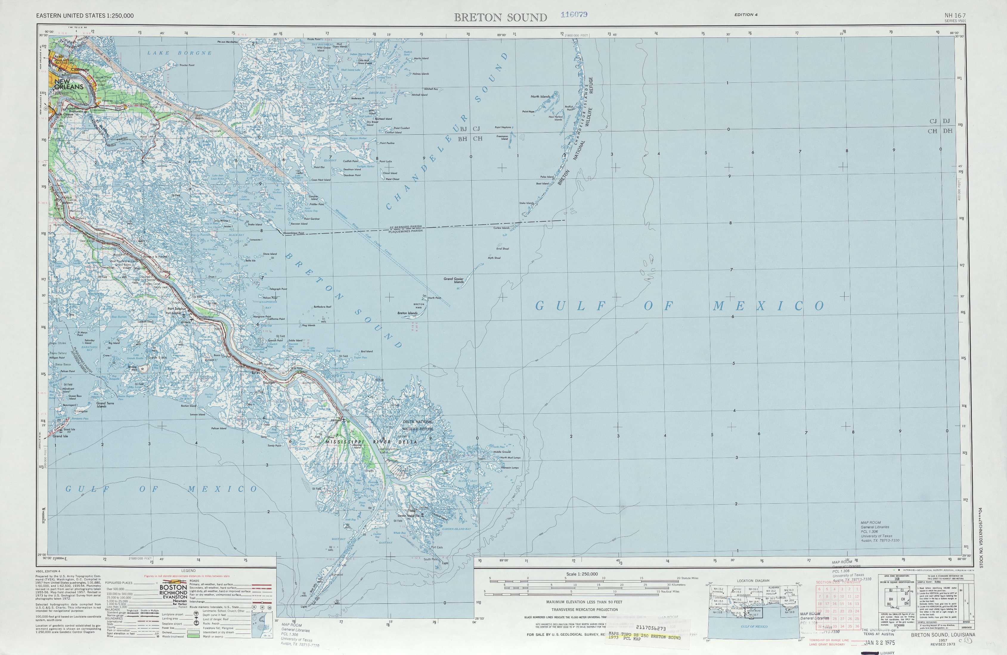
Breton Sound Topo Map Louisiana
To zoom in, hover over the map of Breton Sound
USGS Topo Map 29088a1 - 1:250,000 scale
| Topo Map Name: | Breton Sound |
| USGS Topo Quad ID: | 29088a1 |
| Print Size: | ca. 32" wide x 22 1/2" high |
| Southeast Coordinates: | 29° N latitude / 88° W longitude |
| Map Center Coordinates: | 29.5° N latitude / 89° W longitude |
| U.S. State: | LA |
| Filename: | 29088a1.jpg |
| Download Map JPG Image: | Breton Sound topo map 1:250,000 scale |
| Map Type: | Topographic |
| Topo Series: | 1°x2° |
| Map Scale: | 1:250,000 |
| Source of Map Images: | United States Geological Survey (USGS) |
| Alternate Map Versions: |
Breton Sound LA 1957, updated 1967 Download PDF Buy paper map Breton Sound LA 1957, updated 1974 Download PDF Buy paper map Breton Sound LA 1957, updated 1983 Download PDF Buy paper map Breton Sound LA 1961, updated 1961 Download PDF Buy paper map |
1:250,000 Topos surrounding Breton Sound
Baton Rouge LA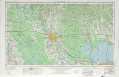 |
Mobile MS, LA, AL |
Pensacola FL, AL |
New Orleans LA |
Breton Sound LA |
|
South of Breton Sound LA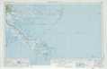 |
> Back to U.S. Topo Maps home
1:100,000 Topo Maps covered by the spatial extent of this 250k map (Breton Sound)
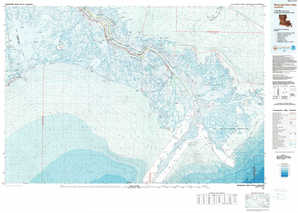
Black Bay LA |
North Islands LA |
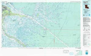
Mississippi River Delta LA |
East Of Mississippi River Delta LA |