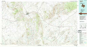
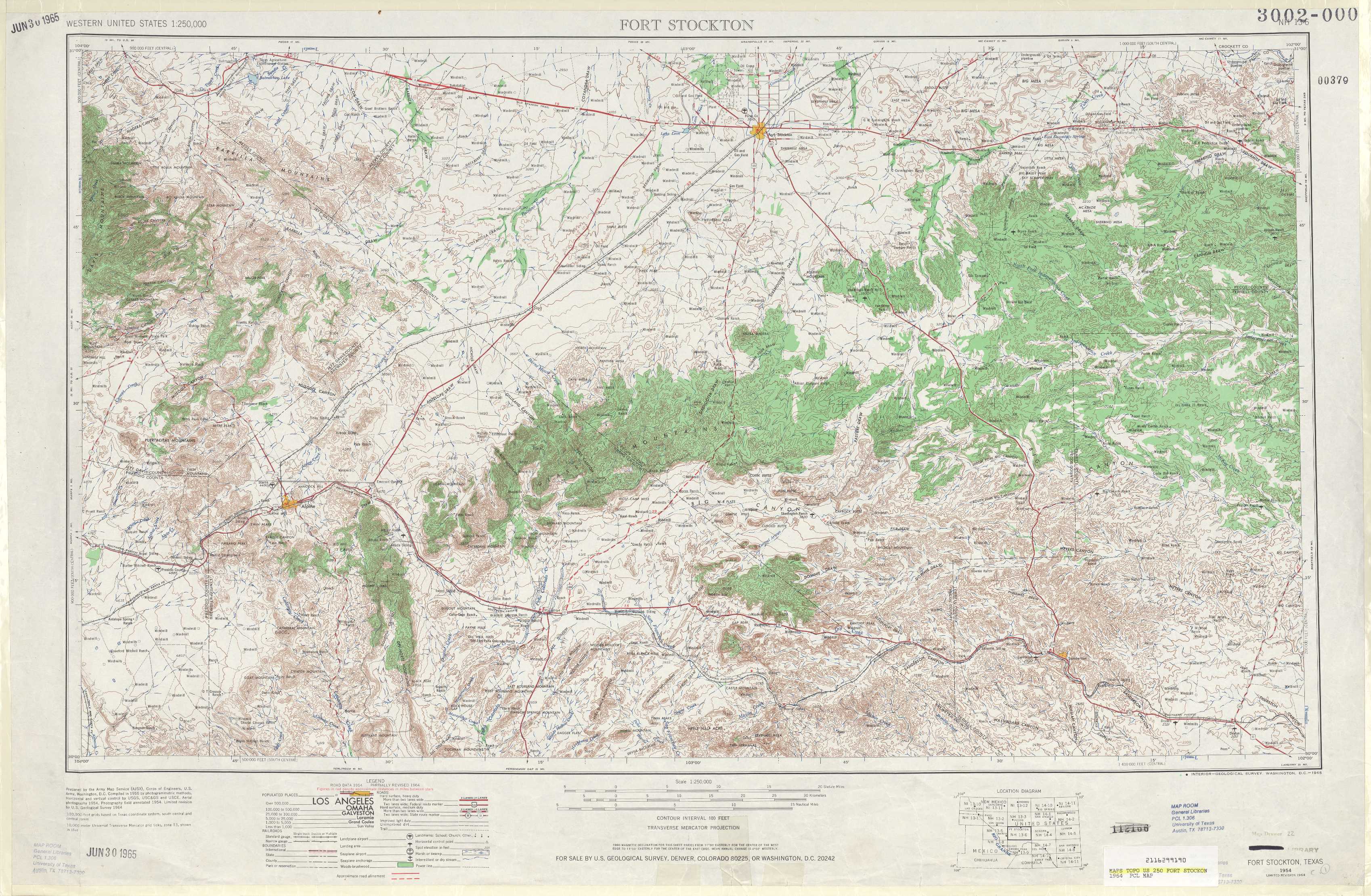
Ft Stockton Topo Map Texas
To zoom in, hover over the map of Ft Stockton
USGS Topo Map 30102a1 - 1:250,000 scale
| Topo Map Name: | Ft Stockton |
| USGS Topo Quad ID: | 30102a1 |
| Print Size: | ca. 32" wide x 22 1/2" high |
| Southeast Coordinates: | 30° N latitude / 102° W longitude |
| Map Center Coordinates: | 30.5° N latitude / 103° W longitude |
| U.S. State: | TX |
| Filename: | 30102a1.jpg |
| Download Map JPG Image: | Ft Stockton topo map 1:250,000 scale |
| Map Type: | Topographic |
| Topo Series: | 1°x2° |
| Map Scale: | 1:250,000 |
| Source of Map Images: | United States Geological Survey (USGS) |
| Alternate Map Versions: |
Fort Stockton TX 1954, updated 1965 Download PDF Buy paper map Fort Stockton TX 1954, updated 1974 Download PDF Buy paper map Fort Stockton TX 1954, updated 1974 Download PDF Buy paper map Fort Stockton TX 1958 Download PDF Buy paper map Fort Stockton TX 1973, updated 1974 Download PDF Buy paper map |
1:250,000 Topos surrounding Ft Stockton
Van Horn TX |
Pecos TX |
San Angelo TX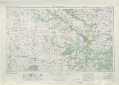 |
Marfa TX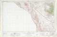 |
Ft Stockton TX |
Sonora TX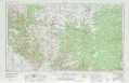 |
Presidio TX |
Emory Peak TX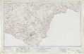 |
Del Rio TX |
> Back to U.S. Topo Maps home
1:100,000 Topo Maps covered by the spatial extent of this 250k map (Ft Stockton)
Fort Davis TX |
Fort Stockton TX |
Alpine TX |
Sanderson TX |