Silver City Topo Map New Mexico
To zoom in, hover over the map of Silver City
USGS Topo Map 32108a1 - 1:250,000 scale
| Topo Map Name: | Silver City |
| USGS Topo Quad ID: | 32108a1 |
| Print Size: | ca. 32" wide x 22 1/2" high |
| Southeast Coordinates: | 32° N latitude / 108° W longitude |
| Map Center Coordinates: | 32.5° N latitude / 109° W longitude |
| U.S. States: | NM, AZ |
| Filename: | 32108a1.jpg |
| Download Map JPG Image: | Silver City topo map 1:250,000 scale |
| Map Type: | Topographic |
| Topo Series: | 1°x2° |
| Map Scale: | 1:250,000 |
| Source of Map Images: | United States Geological Survey (USGS) |
| Alternate Map Versions: |
Silver City NM 1954, updated 1967 Download PDF Buy paper map Silver City NM 1954, updated 1973 Download PDF Buy paper map Silver City NM 1954, updated 1980 Download PDF Buy paper map Silver City NM 1954, updated 1991 Download PDF Buy paper map Silver City NM 1958 Download PDF Buy paper map Silver City NM 1962 Download PDF Buy paper map |
1:250,000 Topos surrounding Silver City
Mesa AZ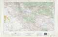 |
Clifton NM, AZ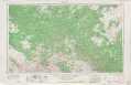 |
Tularosa NM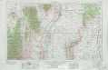 |
Tucson AZ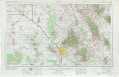 |
Silver City NM, AZ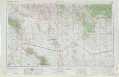 |
Las Cruces NM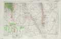 |
Nogales AZ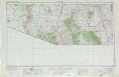 |
Douglas AZ, NM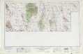 |
El Paso NM, TX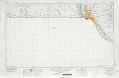 |
> Back to U.S. Topo Maps home
1:100,000 Topo Maps covered by the spatial extent of this 250k map (Silver City)
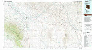
Safford AZ, NM |
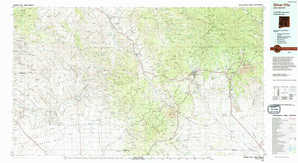
Silver City NM |
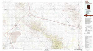
Willcox AZ, NM |
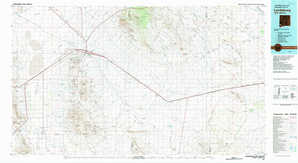
Lordsburg NM |