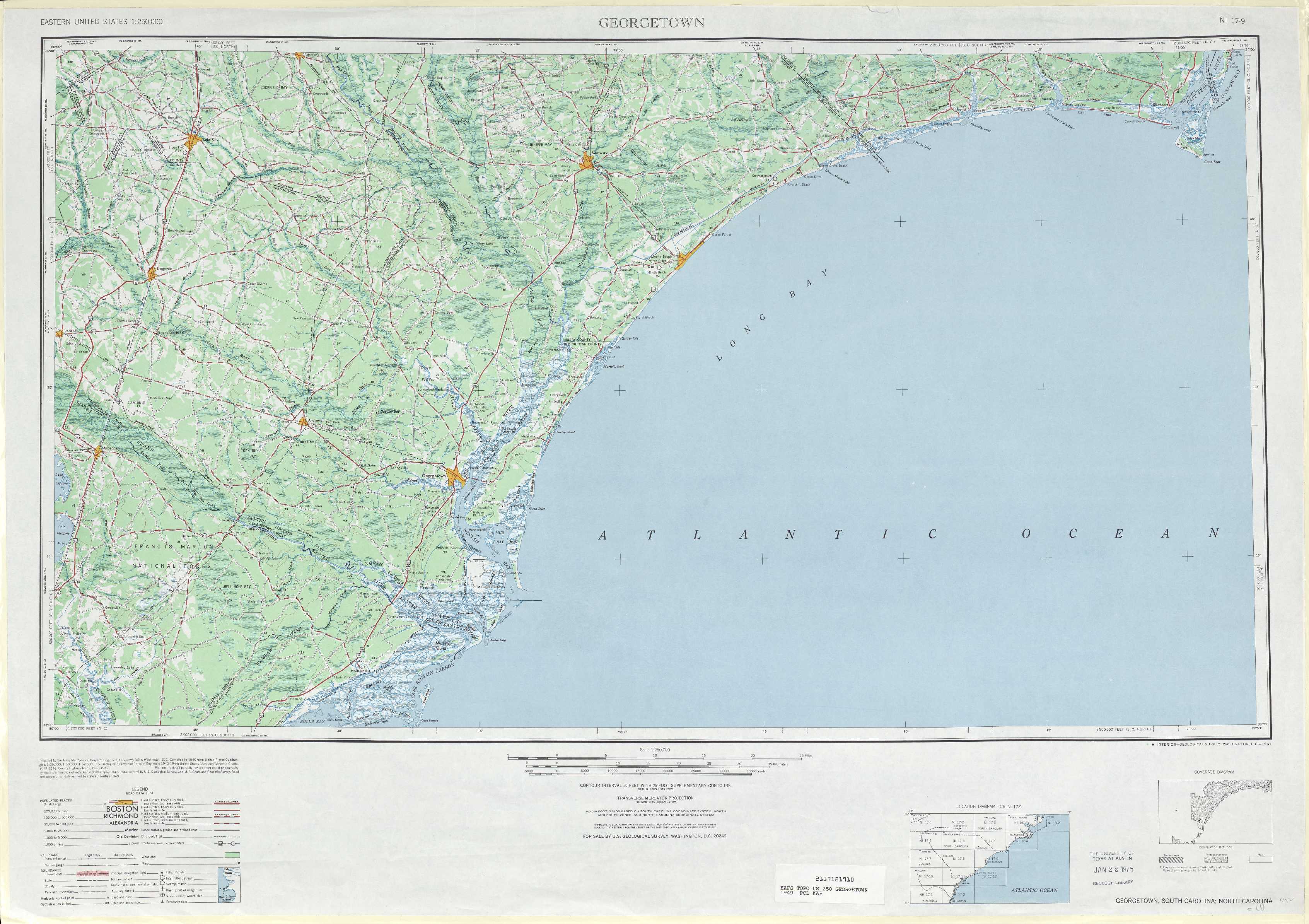
Georgetown Topo Map South Carolina
To zoom in, hover over the map of Georgetown
USGS Topo Map 33078a1 - 1:250,000 scale
| Topo Map Name: | Georgetown |
| USGS Topo Quad ID: | 33078a1 |
| Print Size: | ca. 32" wide x 22 1/2" high |
| Southeast Coordinates: | 33° N latitude / 78° W longitude |
| Map Center Coordinates: | 33.5° N latitude / 79° W longitude |
| U.S. States: | SC, NC |
| Filename: | 33078a1.jpg |
| Download Map JPG Image: | Georgetown topo map 1:250,000 scale |
| Map Type: | Topographic |
| Topo Series: | 1°x2° |
| Map Scale: | 1:250,000 |
| Source of Map Images: | United States Geological Survey (USGS) |
| Alternate Map Versions: | none available in database |
1:250,000 Topos surrounding Georgetown
Spartanburg SC, NC |
Florence NC, SC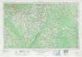 |
Beaufort NC |
Augusta SC, GA |
Georgetown SC, NC |
East of Georgetown SC |
Savannah SC, GA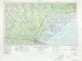 |
James Island SC |
> Back to U.S. Topo Maps home
1:100,000 Topo Maps covered by the spatial extent of this 250k map (Georgetown)
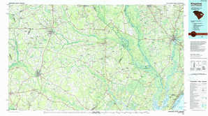
Kingstree SC |
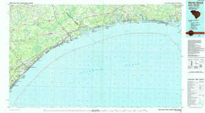
Myrtle Beach SC, NC |
Georgetown SC |