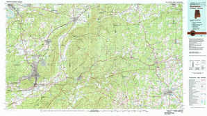
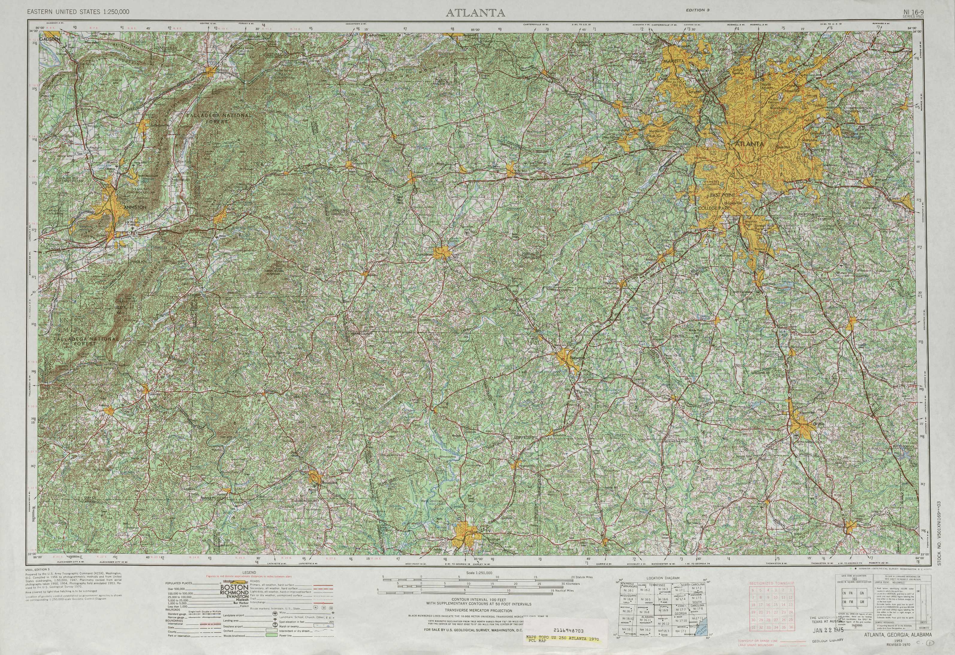
Atlanta Topo Map Georgia
To zoom in, hover over the map of Atlanta
USGS Topo Map 33084a1 - 1:250,000 scale
| Topo Map Name: | Atlanta |
| USGS Topo Quad ID: | 33084a1 |
| Print Size: | ca. 32" wide x 22 1/2" high |
| Southeast Coordinates: | 33° N latitude / 84° W longitude |
| Map Center Coordinates: | 33.5° N latitude / 85° W longitude |
| U.S. States: | GA, AL |
| Filename: | 33084a1.jpg |
| Download Map JPG Image: | Atlanta topo map 1:250,000 scale |
| Map Type: | Topographic |
| Topo Series: | 1°x2° |
| Map Scale: | 1:250,000 |
| Source of Map Images: | United States Geological Survey (USGS) |
| Alternate Map Versions: |
Atlanta GA 1953, updated 1965 Download PDF Buy paper map Atlanta GA 1953, updated 1973 Download PDF Buy paper map Atlanta GA 1958 Download PDF Buy paper map |
1:250,000 Topos surrounding Atlanta
Gadsden AL |
Rome GA, AL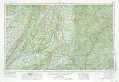 |
Greenville GA, SC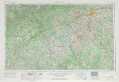 |
Birmingham AL |
Atlanta GA, AL |
Athens GA, SC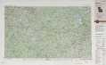 |
Montgomery AL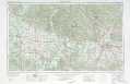 |
Phenix City GA, AL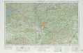 |
Macon GA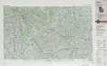 |
> Back to U.S. Topo Maps home
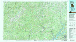
1:100,000 Topo Maps covered by the spatial extent of this 250k map (Atlanta)
Anniston AL, GA |
Atlanta GA |
La Grange AL, GA |
Griffin GA |