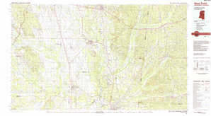
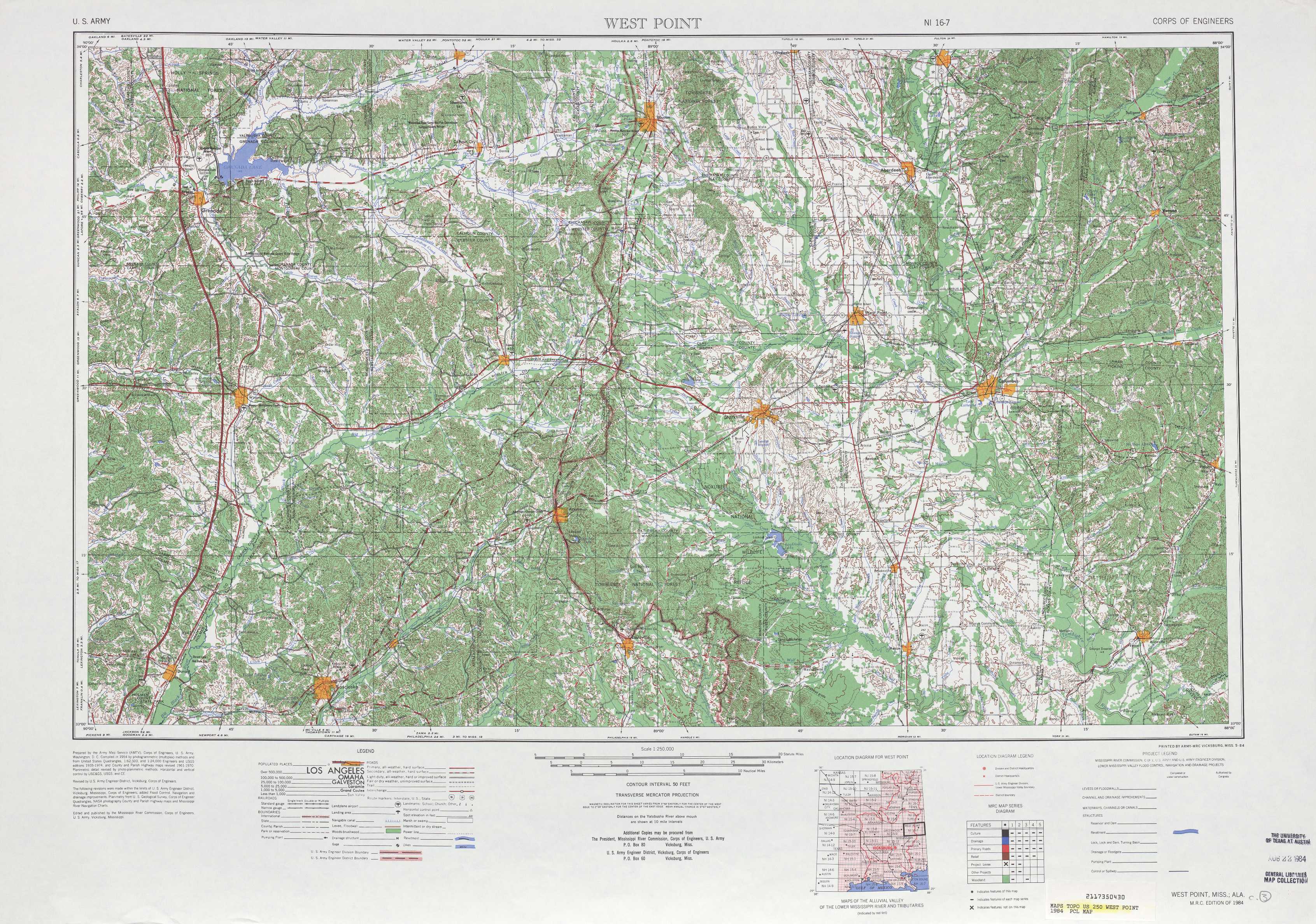
West Point Topo Map Mississippi
To zoom in, hover over the map of West Point
USGS Topo Map 33088a1 - 1:250,000 scale
| Topo Map Name: | West Point |
| USGS Topo Quad ID: | 33088a1 |
| Print Size: | ca. 32" wide x 22 1/2" high |
| Southeast Coordinates: | 33° N latitude / 88° W longitude |
| Map Center Coordinates: | 33.5° N latitude / 89° W longitude |
| U.S. States: | MS, AL |
| Filename: | 33088a1.jpg |
| Download Map JPG Image: | West Point topo map 1:250,000 scale |
| Map Type: | Topographic |
| Topo Series: | 1°x2° |
| Map Scale: | 1:250,000 |
| Source of Map Images: | United States Geological Survey (USGS) |
| Alternate Map Versions: |
West Point MS 1953, updated 1973 Download PDF Buy paper map West Point MS 1953, updated 1978 Download PDF Buy paper map West Point MS 1953, updated 1978 Download PDF Buy paper map West Point MS 1958, updated 1958 Download PDF Buy paper map West Point MS 1963, updated 1963 Download PDF Buy paper map West Point MS 1963, updated 1963 Download PDF Buy paper map West Point MS 1984, updated 1984 Download PDF Buy paper map West Point MS 1984, updated 1984 Download PDF Buy paper map West Point MS 1984, updated 1984 Download PDF Buy paper map |
1:250,000 Topos surrounding West Point
Helena AR, MS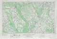 |
Tupelo MS, AL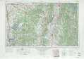 |
Gadsden AL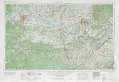 |
Greenwood MS, AR, LA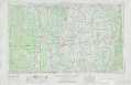 |
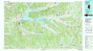
West Point MS, AL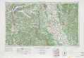 |
Birmingham AL |
Jackson MS, LA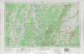 |
Meridian MS, AL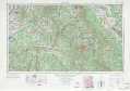 |
Montgomery AL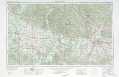 |
> Back to U.S. Topo Maps home
1:100,000 Topo Maps covered by the spatial extent of this 250k map (West Point)
Grenada MS |
West Point MS, AL |
Kosciusko MS |
Starkville MS, AL |