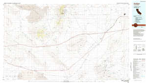
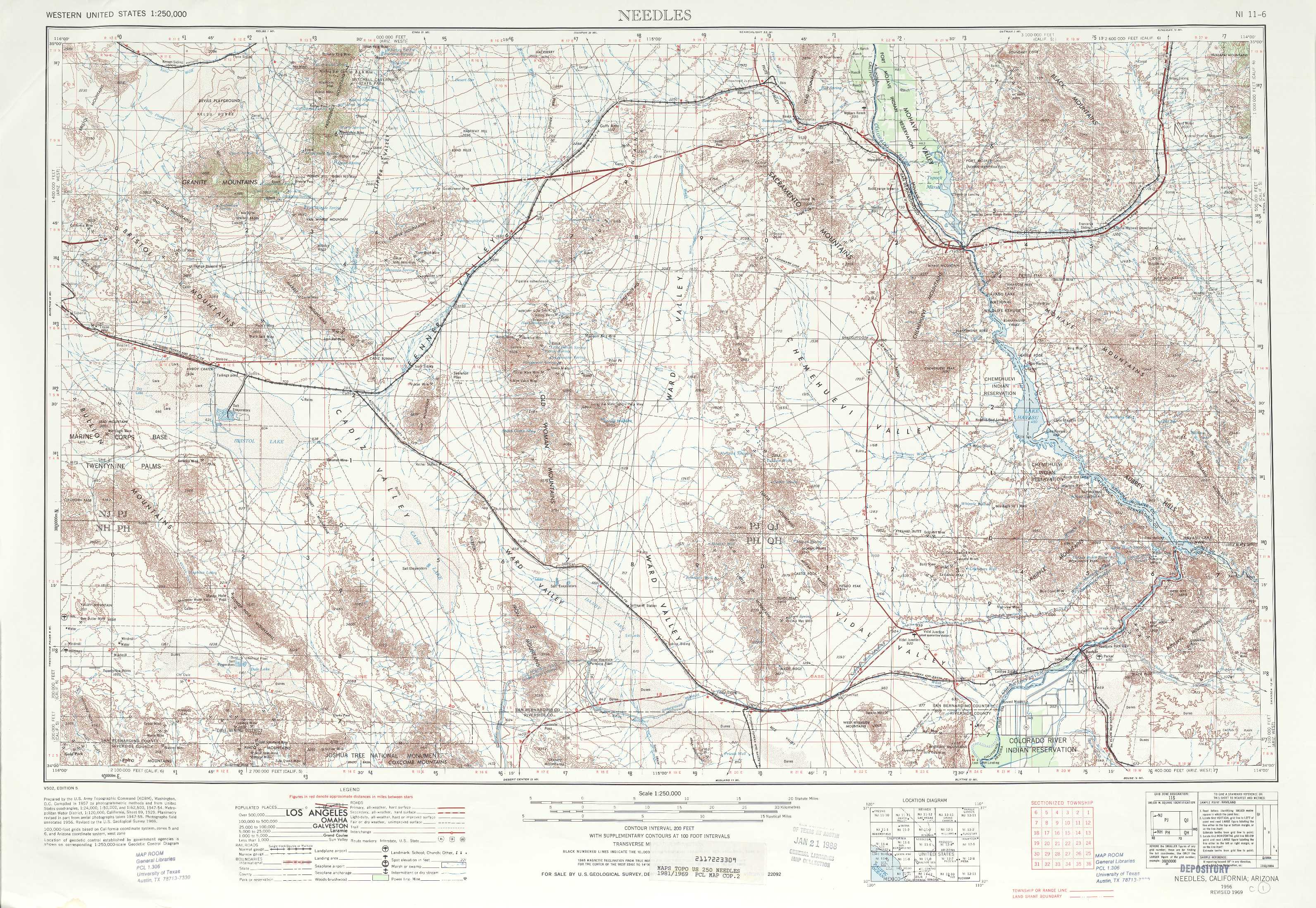
Needles Topo Map California
To zoom in, hover over the map of Needles
USGS Topo Map 34114a1 - 1:250,000 scale
| Topo Map Name: | Needles |
| USGS Topo Quad ID: | 34114a1 |
| Print Size: | ca. 32" wide x 22 1/2" high |
| Southeast Coordinates: | 34° N latitude / 114° W longitude |
| Map Center Coordinates: | 34.5° N latitude / 115° W longitude |
| U.S. States: | CA, AZ |
| Filename: | 34114a1.jpg |
| Download Map JPG Image: | Needles topo map 1:250,000 scale |
| Map Type: | Topographic |
| Topo Series: | 1°x2° |
| Map Scale: | 1:250,000 |
| Source of Map Images: | United States Geological Survey (USGS) |
| Alternate Map Versions: |
Needles CA 1954, updated 1954 Download PDF Buy paper map Needles CA 1956, updated 1956 Download PDF Buy paper map Needles CA 1956, updated 1962 Download PDF Buy paper map Needles CA 1956, updated 1964 Download PDF Buy paper map Needles CA 1956, updated 1968 Download PDF Buy paper map Needles CA 1956, updated 1972 Download PDF Buy paper map |
1:250,000 Topos surrounding Needles
Trona CA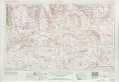 |
Kingman CA, NV, AZ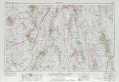 |
Williams AZ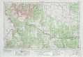 |
San Bernardino CA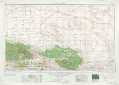 |
Needles CA, AZ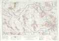 |
Prescott AZ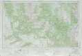 |
Santa Ana CA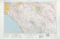 |
Salton Sea CA, AZ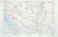 |
Phoenix AZ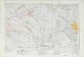 |
> Back to U.S. Topo Maps home
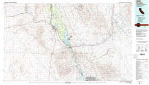
1:100,000 Topo Maps covered by the spatial extent of this 250k map (Needles)
Amboy CA |
Needles CA, AZ |
Sheep Hole Mountains CA |
Parker AZ, CA |