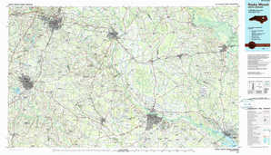
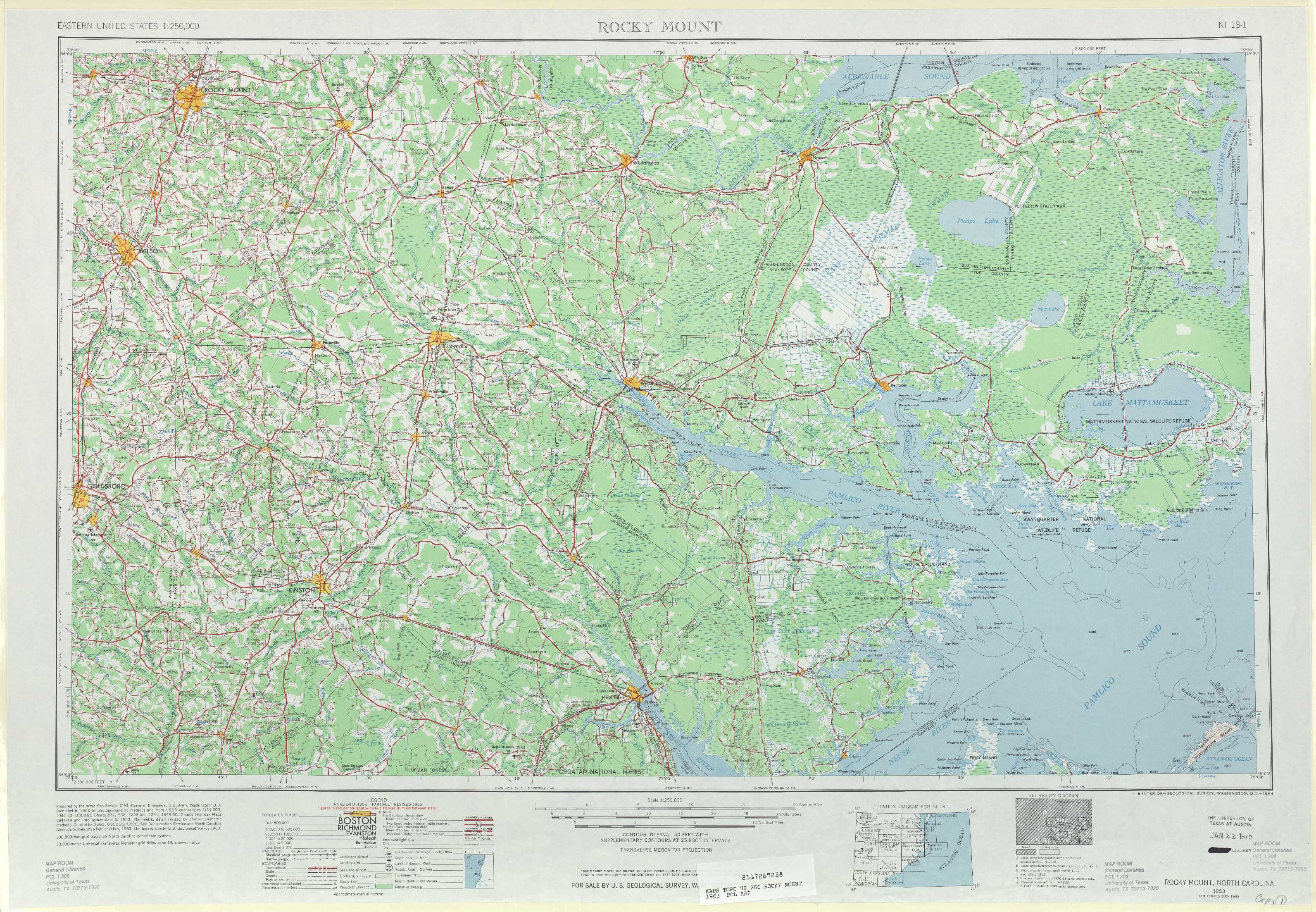
Rocky Mount Topo Map North Carolina
To zoom in, hover over the map of Rocky Mount
USGS Topo Map 35076a1 - 1:250,000 scale
| Topo Map Name: | Rocky Mount |
| USGS Topo Quad ID: | 35076a1 |
| Print Size: | ca. 32" wide x 22 1/2" high |
| Southeast Coordinates: | 35° N latitude / 76° W longitude |
| Map Center Coordinates: | 35.5° N latitude / 77° W longitude |
| U.S. State: | NC |
| Filename: | 35076a1.jpg |
| Download Map JPG Image: | Rocky Mount topo map 1:250,000 scale |
| Map Type: | Topographic |
| Topo Series: | 1°x2° |
| Map Scale: | 1:250,000 |
| Source of Map Images: | United States Geological Survey (USGS) |
| Alternate Map Versions: |
Rocky Mount NC 1953, updated 1964 Download PDF Buy paper map Rocky Mount NC 1953, updated 1980 Download PDF Buy paper map Rocky Mount NC 1953, updated 1984 Download PDF Buy paper map Rocky Mount NC 1953, updated 1984 Download PDF Buy paper map Rocky Mount NC 1954 Download PDF Buy paper map |
1:250,000 Topos surrounding Rocky Mount
Greensboro NC, VA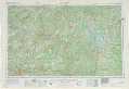 |
Norfolk NC, VA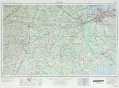 |
Currituck Sound NC, VA |
Raleigh NC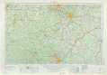 |
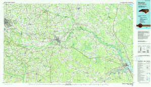
Rocky Mount NC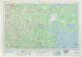 |
Manteo NC |
Florence NC, SC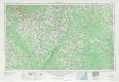 |
Beaufort NC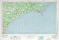 |
> Back to U.S. Topo Maps home
1:100,000 Topo Maps covered by the spatial extent of this 250k map (Rocky Mount)
Rocky Mount NC |
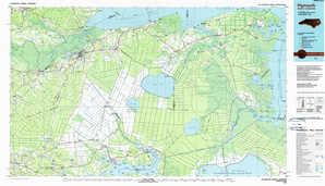
Plymouth NC |
Kinston NC |
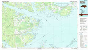
Bayboro NC |