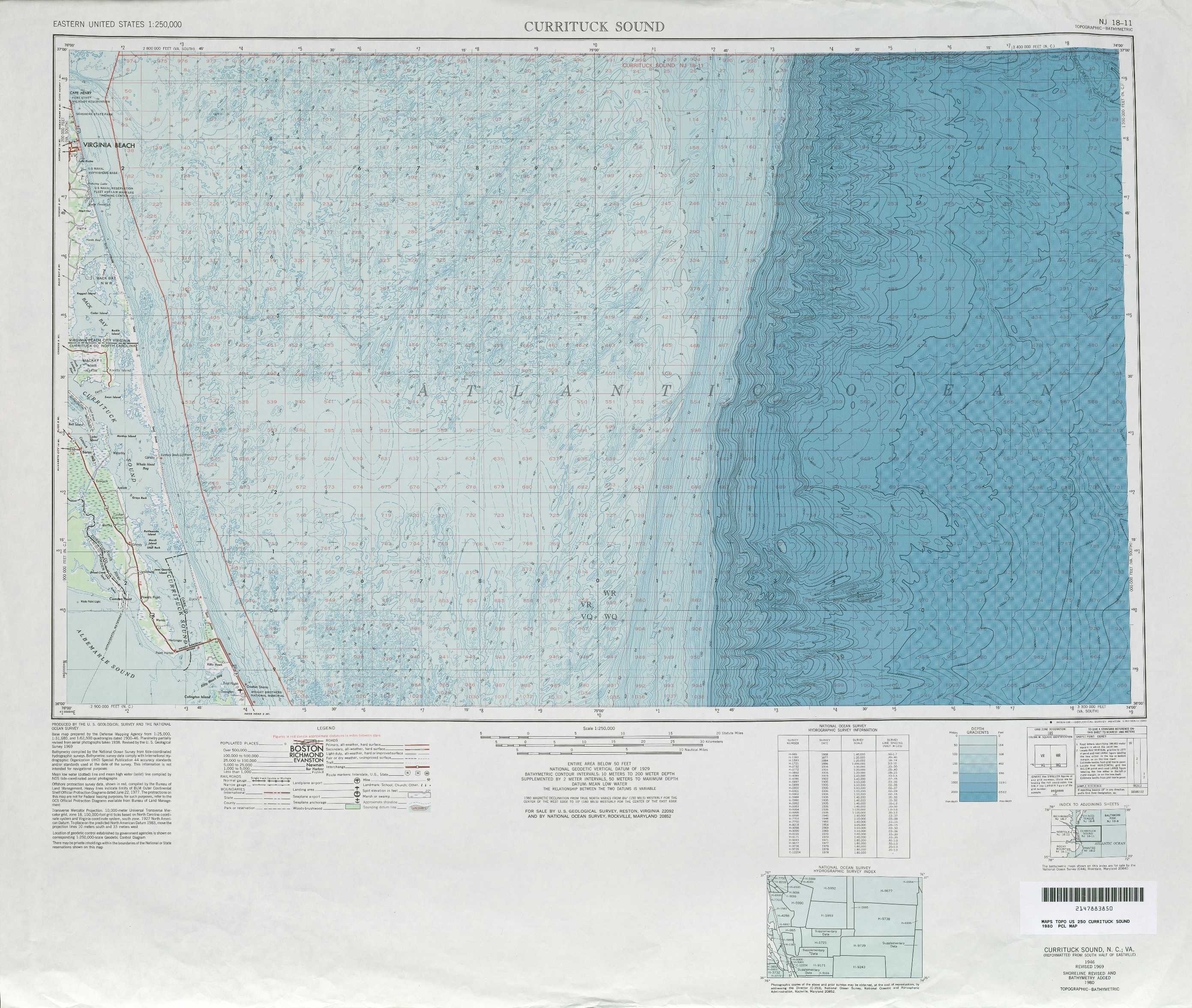
Currituck Sound Topo Map North Carolina
To zoom in, hover over the map of Currituck Sound
USGS Topo Map 36074a1 - 1:250,000 scale
| Topo Map Name: | Currituck Sound |
| USGS Topo Quad ID: | 36074a1 |
| Print Size: | ca. 32" wide x 22 1/2" high |
| Southeast Coordinates: | 36° N latitude / 74° W longitude |
| Map Center Coordinates: | 36.5° N latitude / 75° W longitude |
| U.S. States: | NC, VA |
| Filename: | 36074a1.jpg |
| Download Map JPG Image: | Currituck Sound topo map 1:250,000 scale |
| Map Type: | Topographic |
| Topo Series: | 1°x2° |
| Map Scale: | 1:250,000 |
| Source of Map Images: | United States Geological Survey (USGS) |
| Alternate Map Versions: |
Currituck Sound NC 1946, updated 1980 Download PDF Buy paper map |
1:250,000 Topos surrounding Currituck Sound
Richmond VA, MD |
Eastville VA, NC, MD |
|
Norfolk NC, VA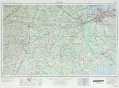 |
Currituck Sound NC, VA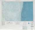 |
|
Rocky Mount NC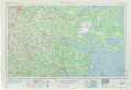 |
Manteo NC |
> Back to U.S. Topo Maps home
1:100,000 Topo Maps covered by the spatial extent of this 250k map (Currituck Sound)
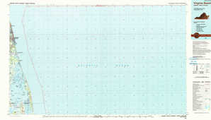
Virginia Beach VA, NC |
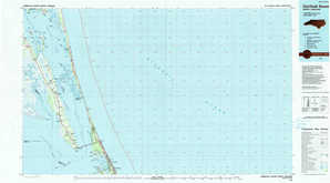
Currituck Sound NC |