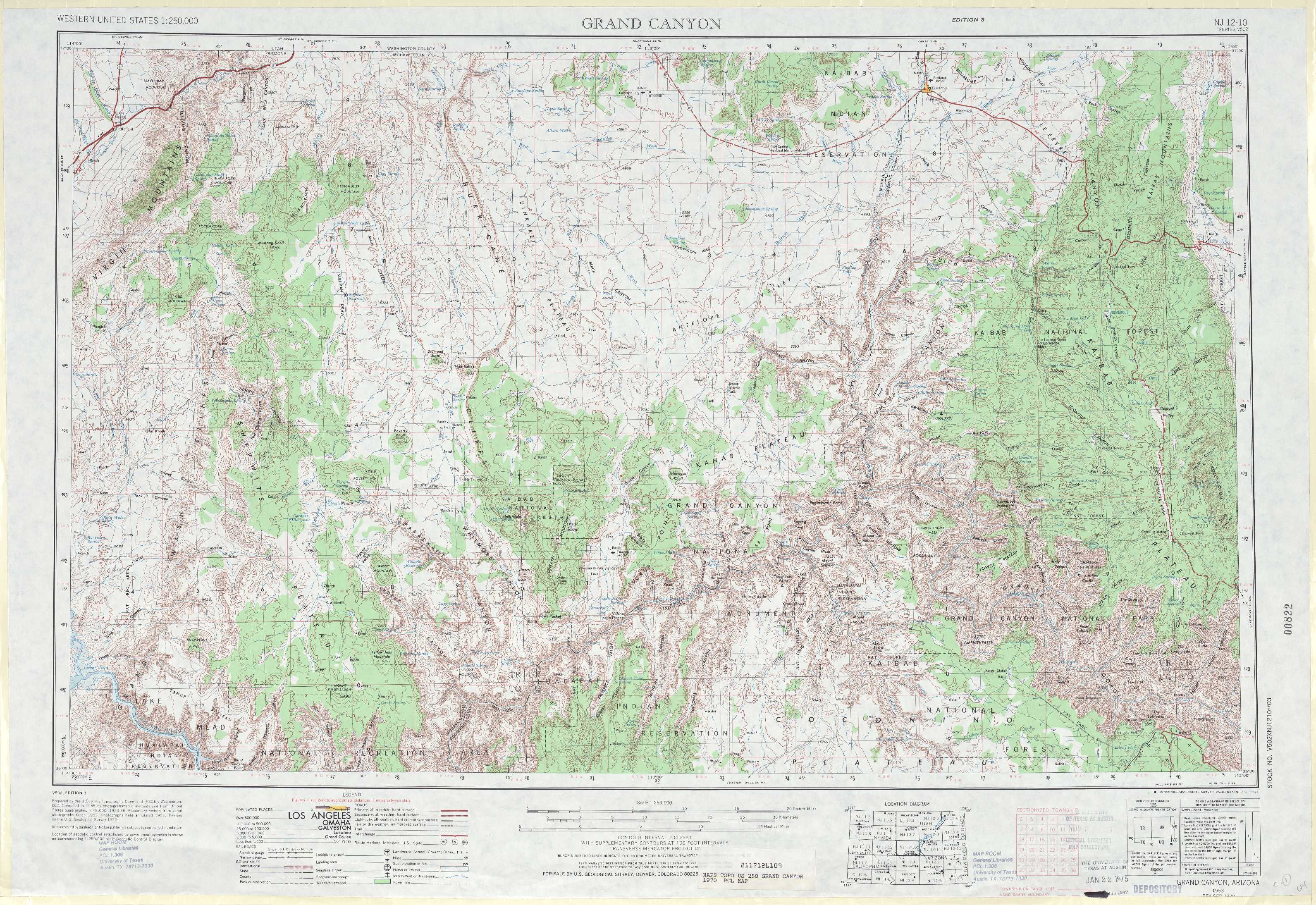
Grand Canyon Topo Map Arizona
To zoom in, hover over the map of Grand Canyon
USGS Topo Map 36112a1 - 1:250,000 scale
| Topo Map Name: | Grand Canyon |
| USGS Topo Quad ID: | 36112a1 |
| Print Size: | ca. 32" wide x 22 1/2" high |
| Southeast Coordinates: | 36° N latitude / 112° W longitude |
| Map Center Coordinates: | 36.5° N latitude / 113° W longitude |
| U.S. State: | AZ |
| Filename: | 36112a1.jpg |
| Download Map JPG Image: | Grand Canyon topo map 1:250,000 scale |
| Map Type: | Topographic |
| Topo Series: | 1°x2° |
| Map Scale: | 1:250,000 |
| Source of Map Images: | United States Geological Survey (USGS) |
| Alternate Map Versions: |
Grand Canyon AZ 1953, updated 1967 Download PDF Buy paper map Grand Canyon AZ 1953, updated 1973 Download PDF Buy paper map Grand Canyon AZ 1953, updated 1973 Download PDF Buy paper map Grand Canyon AZ 1958, updated 1958 Download PDF Buy paper map Grand Canyon AZ 1960, updated 1960 Download PDF Buy paper map |
1:250,000 Topos surrounding Grand Canyon
Caliente NV, UT |
Cedar City UT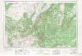 |
Escalante UT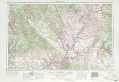 |
Las Vegas NV, AZ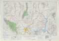 |
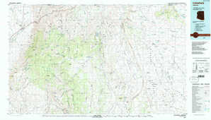
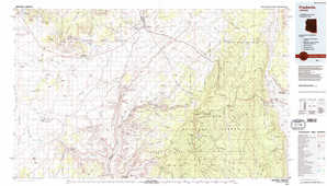
Grand Canyon AZ |
Marble Canyon AZ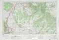 |
Kingman CA, NV, AZ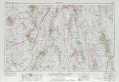 |
Williams AZ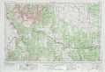 |
Flagstaff AZ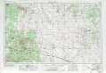 |
> Back to U.S. Topo Maps home
1:100,000 Topo Maps covered by the spatial extent of this 250k map (Grand Canyon)
Littlefield AZ |
Fredonia AZ |
Mount Trumbull AZ |
Grand Canyon AZ |