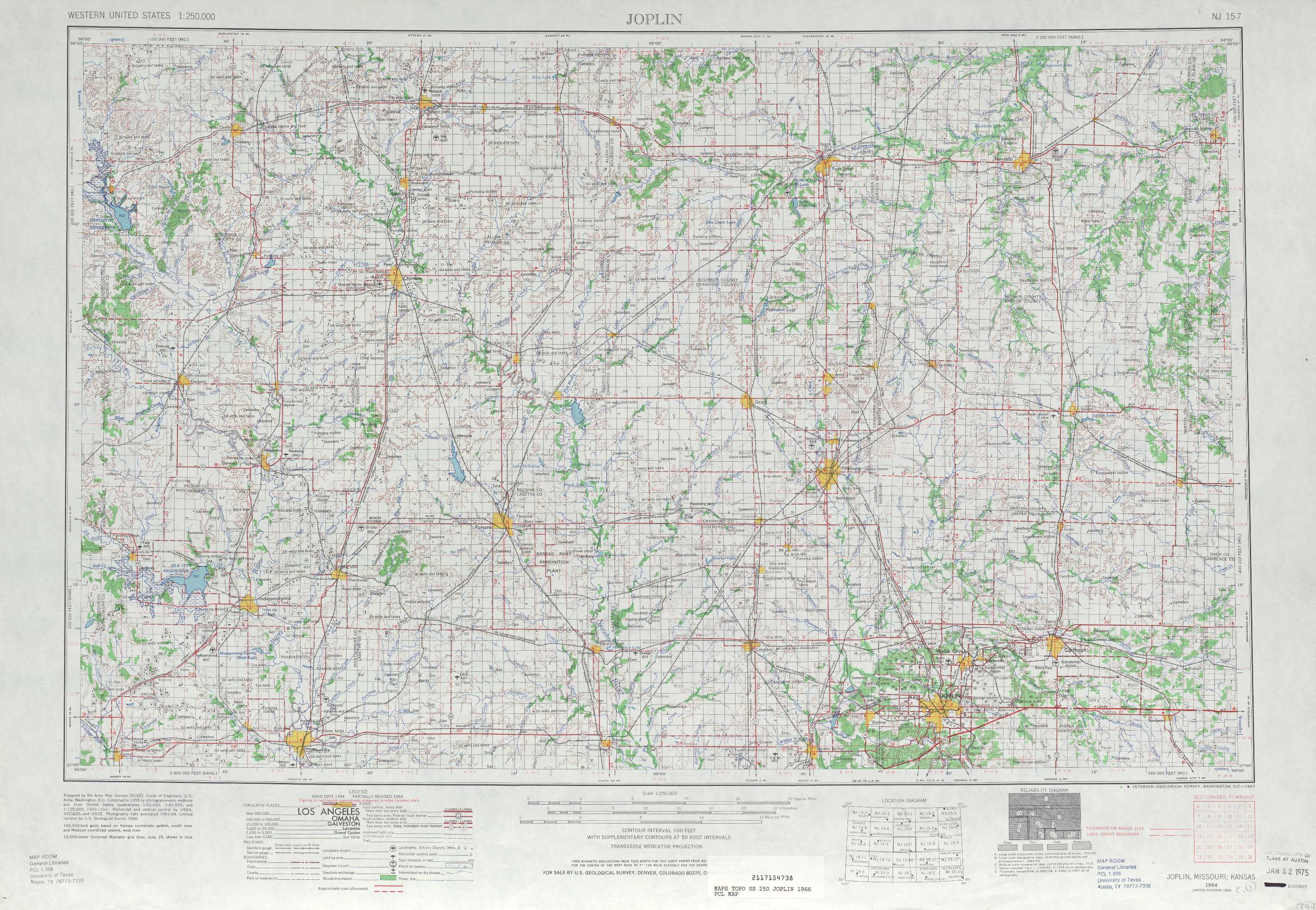
Joplin Topo Map Kansas
To zoom in, hover over the map of Joplin
USGS Topo Map 37094a1 - 1:250,000 scale
| Topo Map Name: | Joplin |
| USGS Topo Quad ID: | 37094a1 |
| Print Size: | ca. 32" wide x 22 1/2" high |
| Southeast Coordinates: | 37° N latitude / 94° W longitude |
| Map Center Coordinates: | 37.5° N latitude / 95° W longitude |
| U.S. States: | KS, MO |
| Filename: | 37094a1.jpg |
| Download Map JPG Image: | Joplin topo map 1:250,000 scale |
| Map Type: | Topographic |
| Topo Series: | 1°x2° |
| Map Scale: | 1:250,000 |
| Source of Map Images: | United States Geological Survey (USGS) |
| Alternate Map Versions: |
Joplin MO 1947, updated 1954 Download PDF Buy paper map Joplin MO 1949, updated 1949 Download PDF Buy paper map Joplin MO 1954, updated 1967 Download PDF Buy paper map Joplin MO 1954, updated 1975 Download PDF Buy paper map Joplin MO 1954, updated 1975 Download PDF Buy paper map Joplin MO 1959, updated 1959 Download PDF Buy paper map |
1:250,000 Topos surrounding Joplin
Hutchinson KS |
Lawrence KS, MO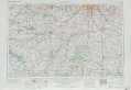 |
Jefferson City MO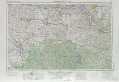 |
Wichita KS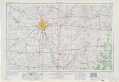 |
Joplin KS, MO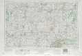 |
Springfield MO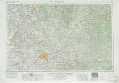 |
Enid OK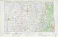 |
Tulsa OK, MO, AR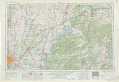 |
Harrison AR, MO |
> Back to U.S. Topo Maps home
1:100,000 Topo Maps covered by the spatial extent of this 250k map (Joplin)
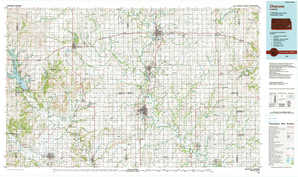
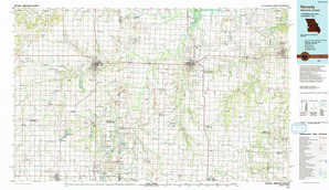
Chanute KS |
Nevada MO, KS |
Coffeyville KS |
Joplin MO, KS |