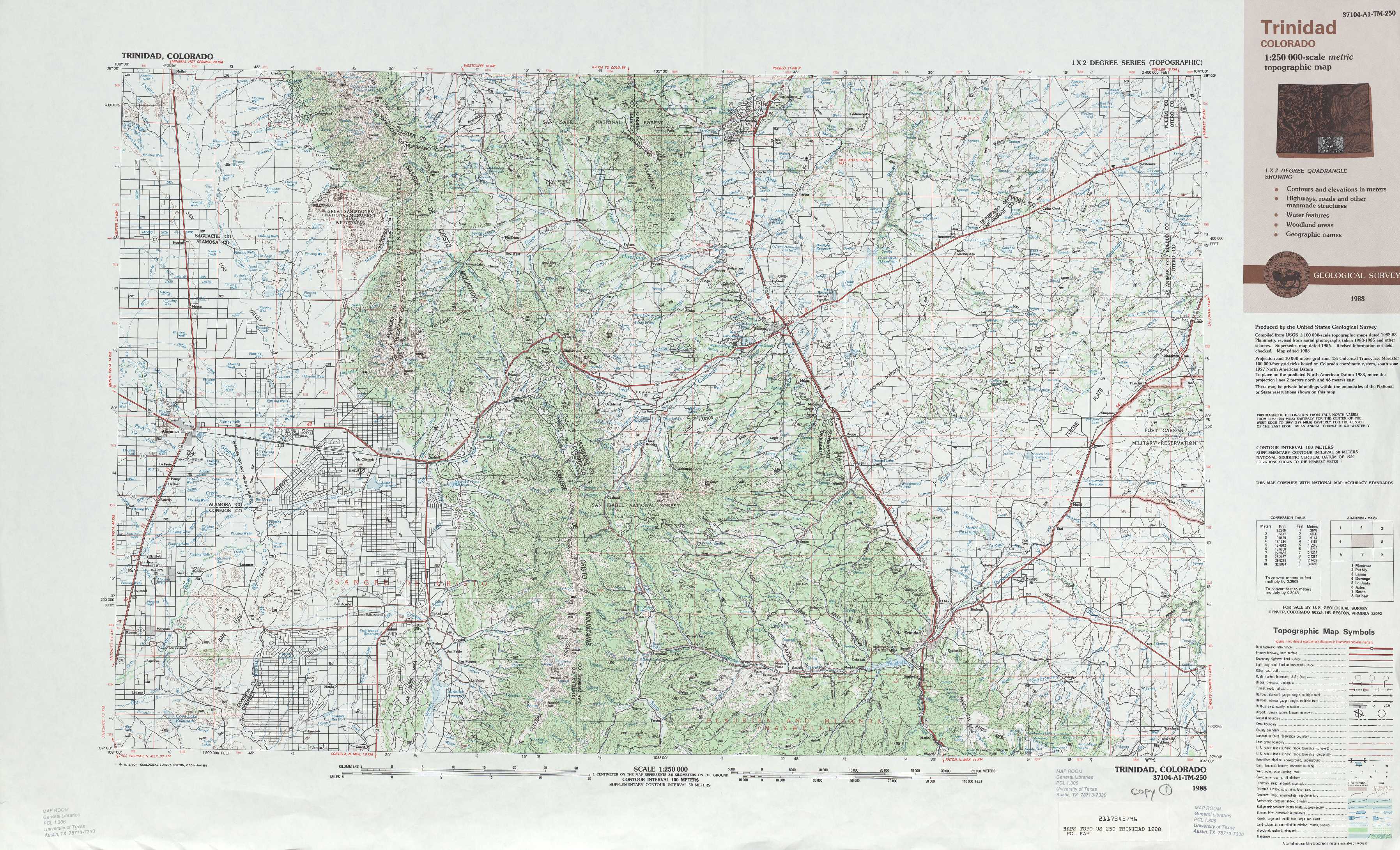
Trinidad Topo Map Colorado
To zoom in, hover over the map of Trinidad
USGS Topo Map 37104a1 - 1:250,000 scale
| Topo Map Name: | Trinidad |
| USGS Topo Quad ID: | 37104a1 |
| Print Size: | ca. 32" wide x 22 1/2" high |
| Southeast Coordinates: | 37° N latitude / 104° W longitude |
| Map Center Coordinates: | 37.5° N latitude / 105° W longitude |
| U.S. State: | CO |
| Filename: | 37104a1.jpg |
| Download Map JPG Image: | Trinidad topo map 1:250,000 scale |
| Map Type: | Topographic |
| Topo Series: | 1°x2° |
| Map Scale: | 1:250,000 |
| Source of Map Images: | United States Geological Survey (USGS) |
| Alternate Map Versions: |
Trinidad CO 1954, updated 1963 Download PDF Buy paper map Trinidad CO 1954, updated 1968 Download PDF Buy paper map Trinidad CO 1955, updated 1976 Download PDF Buy paper map Trinidad CO 1958 Download PDF Buy paper map Trinidad CO 1959 Download PDF Buy paper map Trinidad CO 1988, updated 1988 Download PDF Buy paper map |
1:250,000 Topos surrounding Trinidad
Montrose CO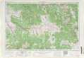 |
Pueblo CO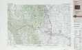 |
Lamar CO, KS |
Durango CO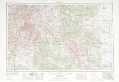 |
Trinidad CO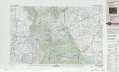 |
La Junta CO, KS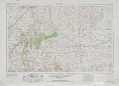 |
Aztec NM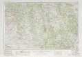 |
Raton NM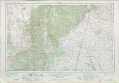 |
Dalhart NM, TX, OK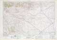 |
> Back to U.S. Topo Maps home
1:100,000 Topo Maps covered by the spatial extent of this 250k map (Trinidad)
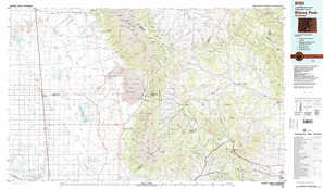
Blanca Peak CO |
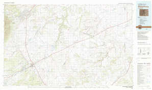
Walsenburg CO |
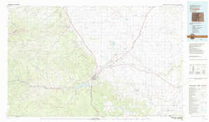
Alamosa CO |
Trinidad CO |