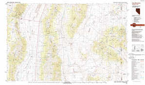
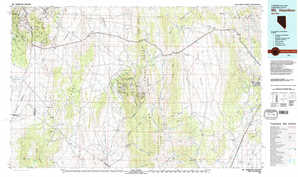
Ely Topo Map Nevada
To zoom in, hover over the map of Ely
USGS Topo Map 39114a1 - 1:250,000 scale
| Topo Map Name: | Ely |
| USGS Topo Quad ID: | 39114a1 |
| Print Size: | ca. 32" wide x 22 1/2" high |
| Southeast Coordinates: | 39° N latitude / 114° W longitude |
| Map Center Coordinates: | 39.5° N latitude / 115° W longitude |
| U.S. States: | NV, UT |
| Filename: | 39114a1.jpg |
| Download Map JPG Image: | Ely topo map 1:250,000 scale |
| Map Type: | Topographic |
| Topo Series: | 1°x2° |
| Map Scale: | 1:250,000 |
| Source of Map Images: | United States Geological Survey (USGS) |
| Alternate Map Versions: |
Ely NV 1956, updated 1968 Download PDF Buy paper map Ely NV 1956, updated 1973 Download PDF Buy paper map Ely NV 1956, updated 1980 Download PDF Buy paper map Ely NV 1956, updated 1980 Download PDF Buy paper map Ely NV 1959, updated 1959 Download PDF Buy paper map Ely NV 1959, updated 1959 Download PDF Buy paper map Ely NV 1963, updated 1963 Download PDF Buy paper map |
1:250,000 Topos surrounding Ely
Winnemucca NV |
Elko NV, UT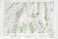 |
Tooele UT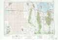 |
Millett NV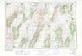 |
Ely NV, UT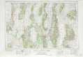 |
Delta UT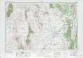 |
Tonopah NV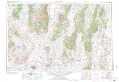 |
Lund NV, UT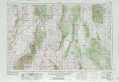 |
Richfield UT |
> Back to U.S. Topo Maps home
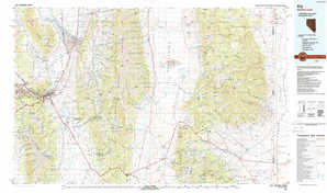
1:100,000 Topo Maps covered by the spatial extent of this 250k map (Ely)
Newark Lake NV |
Kern Mountains NV, UT |
Mount Hamilton NV |
Ely NV, UT |