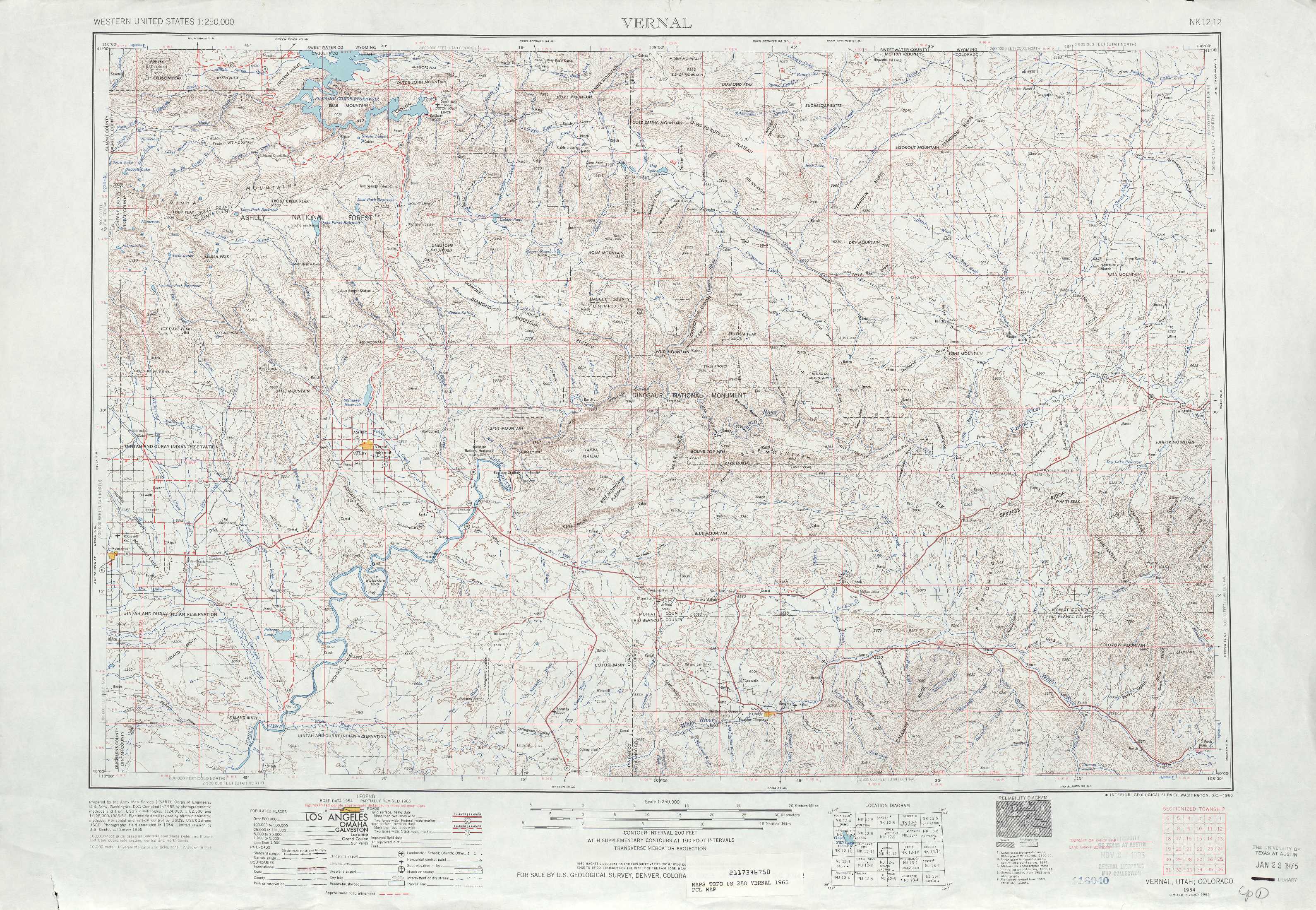
Vernal Topo Map Colorado
To zoom in, hover over the map of Vernal
USGS Topo Map 40108a1 - 1:250,000 scale
| Topo Map Name: | Vernal |
| USGS Topo Quad ID: | 40108a1 |
| Print Size: | ca. 32" wide x 22 1/2" high |
| Southeast Coordinates: | 40° N latitude / 108° W longitude |
| Map Center Coordinates: | 40.5° N latitude / 109° W longitude |
| U.S. States: | CO, UT |
| Filename: | 40108a1.jpg |
| Download Map JPG Image: | Vernal topo map 1:250,000 scale |
| Map Type: | Topographic |
| Topo Series: | 1°x2° |
| Map Scale: | 1:250,000 |
| Source of Map Images: | United States Geological Survey (USGS) |
| Alternate Map Versions: |
Vernal UT 1954, updated 1966 Download PDF Buy paper map Vernal UT 1954, updated 1966 Download PDF Buy paper map Vernal UT 1954, updated 1974 Download PDF Buy paper map Vernal UT 1954, updated 1974 Download PDF Buy paper map Vernal UT 1958 Download PDF Buy paper map Vernal UT 1960 Download PDF Buy paper map |
1:250,000 Topos surrounding Vernal
Ogden WY, UT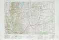 |
Rock Springs WY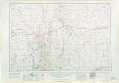 |
Rawlins WY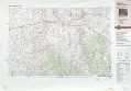 |
Salt Lake City UT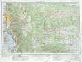 |
Vernal CO, UT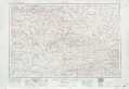 |
Craig CO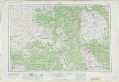 |
Price UT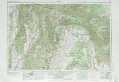 |
Grand Junction CO, UT |
Leadville CO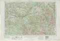 |
> Back to U.S. Topo Maps home
1:100,000 Topo Maps covered by the spatial extent of this 250k map (Vernal)
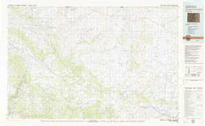
Dutch John UT, CO |
Canyon Of Lodore CO |
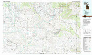
Vernal UT, CO |
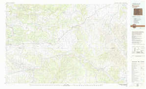
Rangely CO |