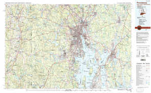
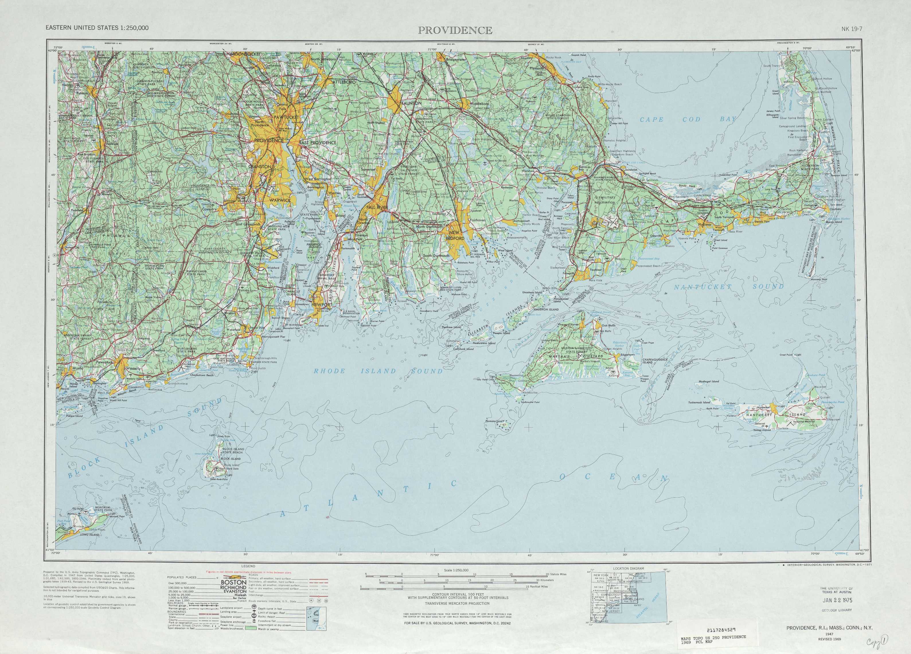
Providence Topo Map Massachusetts
To zoom in, hover over the map of Providence
USGS Topo Map 41070a1 - 1:250,000 scale
| Topo Map Name: | Providence |
| USGS Topo Quad ID: | 41070a1 |
| Print Size: | ca. 32" wide x 22 1/2" high |
| Southeast Coordinates: | 41° N latitude / 70° W longitude |
| Map Center Coordinates: | 41.5° N latitude / 71° W longitude |
| U.S. States: | MA, RI, CT, NY |
| Filename: | 41070a1.jpg |
| Download Map JPG Image: | Providence topo map 1:250,000 scale |
| Map Type: | Topographic |
| Topo Series: | 1°x2° |
| Map Scale: | 1:250,000 |
| Source of Map Images: | United States Geological Survey (USGS) |
| Alternate Map Versions: | none available in database |
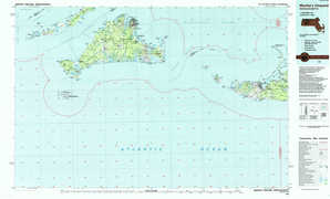
1:250,000 Topos surrounding Providence
Albany MA, NY, NH, VT, CT |
Boston MA, NH, RI, CT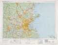 |
|
Hartford CT, NY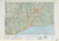 |
Providence MA, RI, CT, NY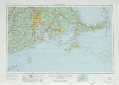 |
Chatham MA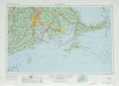 |
New York NY, NJ, CT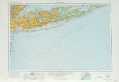 |
> Back to U.S. Topo Maps home
1:100,000 Topo Maps covered by the spatial extent of this 250k map (Providence)
Providence RI, MA, CT |
New Bedford MA |
Block Island RI, CT, NY, MA |
Martha'S Vineyard MA |