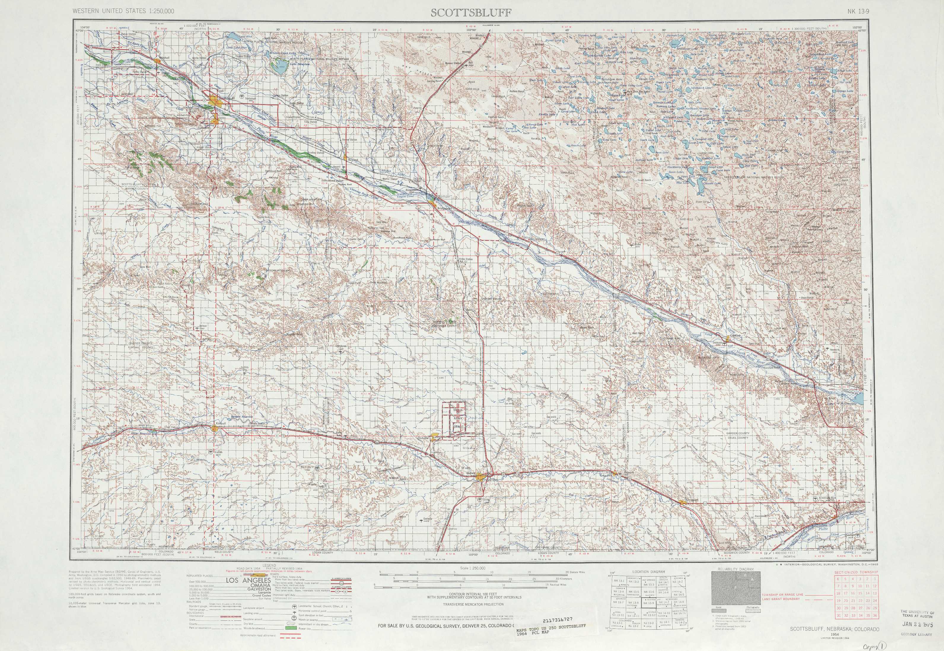
Scottsbluff Topo Map Nebraska
To zoom in, hover over the map of Scottsbluff
USGS Topo Map 41102a1 - 1:250,000 scale
| Topo Map Name: | Scottsbluff |
| USGS Topo Quad ID: | 41102a1 |
| Print Size: | ca. 32" wide x 22 1/2" high |
| Southeast Coordinates: | 41° N latitude / 102° W longitude |
| Map Center Coordinates: | 41.5° N latitude / 103° W longitude |
| U.S. State: | NE |
| Filename: | 41102a1.jpg |
| Download Map JPG Image: | Scottsbluff topo map 1:250,000 scale |
| Map Type: | Topographic |
| Topo Series: | 1°x2° |
| Map Scale: | 1:250,000 |
| Source of Map Images: | United States Geological Survey (USGS) |
| Alternate Map Versions: |
Scottsbluff NE 1954, updated 1958 Download PDF Buy paper map Scottsbluff NE 1954, updated 1965 Download PDF Buy paper map Scottsbluff NE 1954, updated 1978 Download PDF Buy paper map |
1:250,000 Topos surrounding Scottsbluff
Torrington WY, NE |
Alliance NE |
Valentine NE |
Cheyenne WY, NE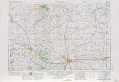 |
Scottsbluff NE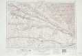 |
North Platte NE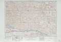 |
Greeley CO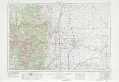 |
Sterling CO, NE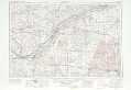 |
Mc Cook NE |
> Back to U.S. Topo Maps home
1:100,000 Topo Maps covered by the spatial extent of this 250k map (Scottsbluff)
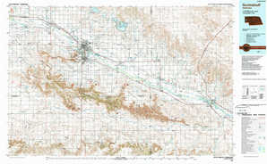
Scottsbluff NE |
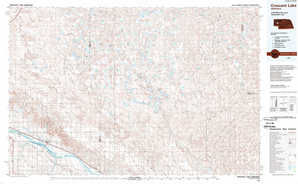
Crescent Lake NE |
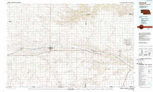
Kimball NE, CO |
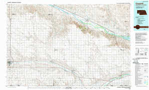
Chappell NE, CO |