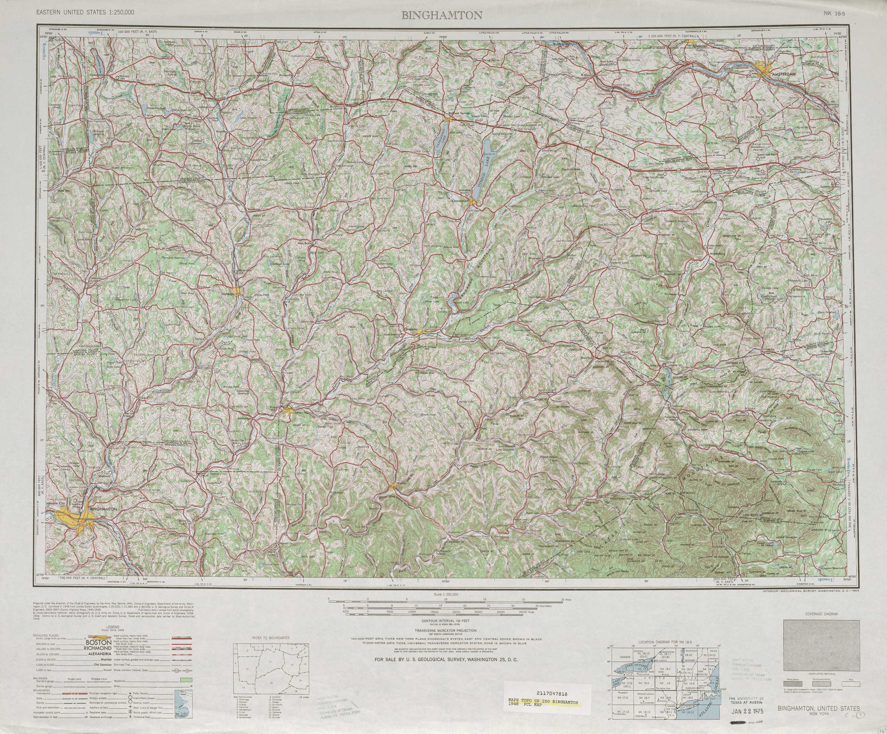
Binghamton Topo Map New York
To zoom in, hover over the map of Binghamton
USGS Topo Map 42074a1 - 1:250,000 scale
| Topo Map Name: | Binghamton |
| USGS Topo Quad ID: | 42074a1 |
| Print Size: | ca. 32" wide x 22 1/2" high |
| Southeast Coordinates: | 42° N latitude / 74° W longitude |
| Map Center Coordinates: | 42.5° N latitude / 75° W longitude |
| U.S. State: | NY |
| Filename: | 42074a1.jpg |
| Download Map JPG Image: | Binghamton topo map 1:250,000 scale |
| Map Type: | Topographic |
| Topo Series: | 1°x2° |
| Map Scale: | 1:250,000 |
| Source of Map Images: | United States Geological Survey (USGS) |
| Alternate Map Versions: |
Binghamton NY 1948, updated 1980 Download PDF Buy paper map Binghamton NY 1950, updated 1950 Download PDF Buy paper map Binghamton NY 1950, updated 1951 Download PDF Buy paper map Binghamton NY 1958 Download PDF Buy paper map Binghamton NY 1963 Download PDF Buy paper map |
1:250,000 Topos surrounding Binghamton
Rochester NY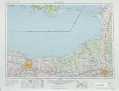 |
Utica NY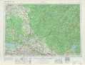 |
Glens Falls VT, NY, NH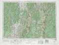 |
Elmira NY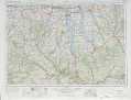 |
Binghamton NY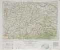 |
Albany MA, NY, NH, VT, CT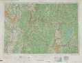 |
Williamsport PA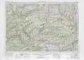 |
Scranton PA, NY, NJ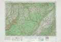 |
Hartford CT, NY |
> Back to U.S. Topo Maps home
1:100,000 Topo Maps covered by the spatial extent of this 250k map (Binghamton)
Norwich NY |
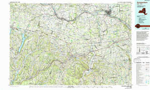
Amsterdam NY |
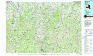
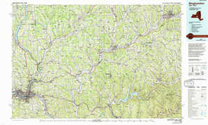
Binghamton NY |
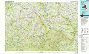
Pepacton Reservoir NY |