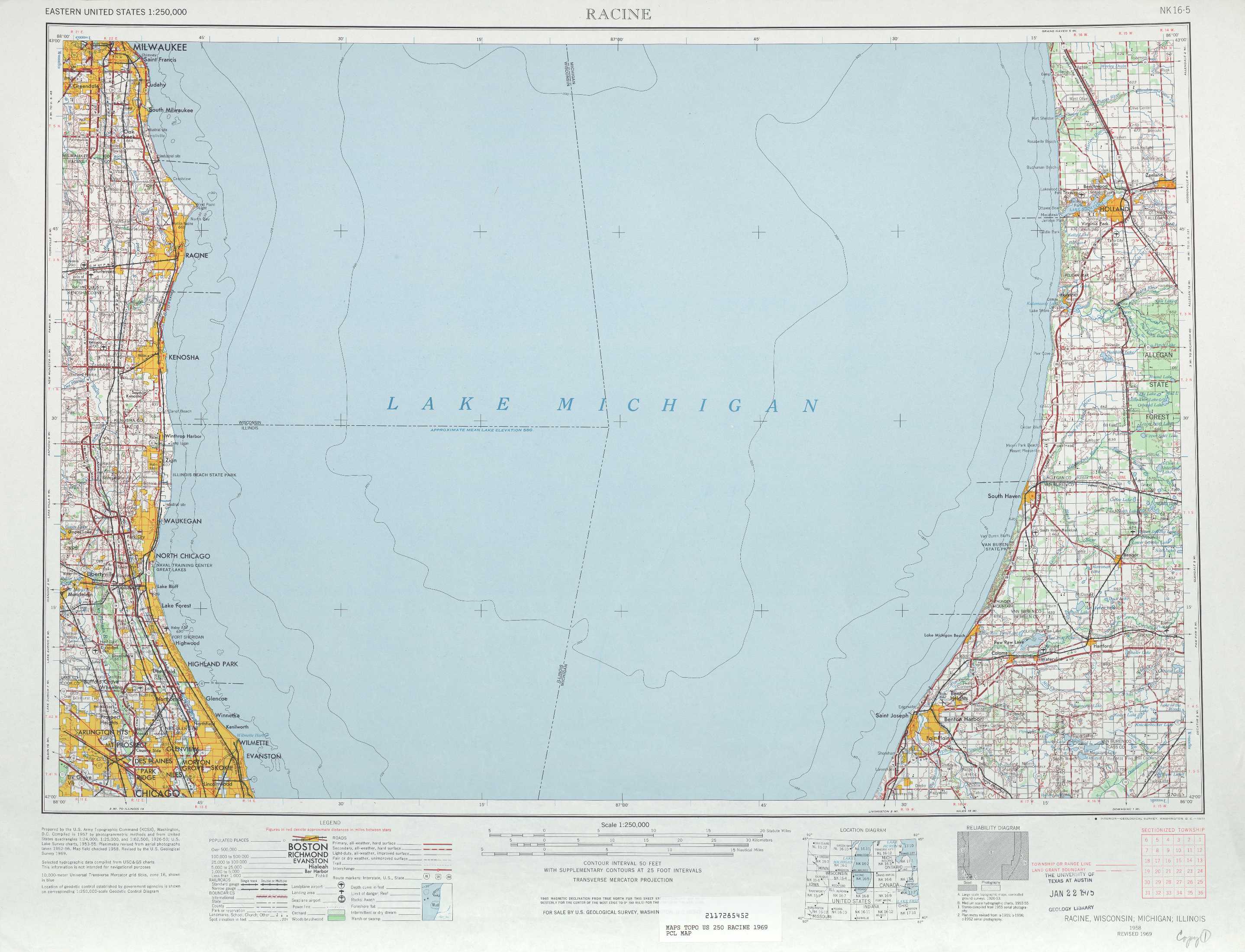
Racine Topo Map Michigan
To zoom in, hover over the map of Racine
USGS Topo Map 42086a1 - 1:250,000 scale
| Topo Map Name: | Racine |
| USGS Topo Quad ID: | 42086a1 |
| Print Size: | ca. 32" wide x 22 1/2" high |
| Southeast Coordinates: | 42° N latitude / 86° W longitude |
| Map Center Coordinates: | 42.5° N latitude / 87° W longitude |
| U.S. States: | MI, IL, WI |
| Filename: | 42086a1.jpg |
| Download Map JPG Image: | Racine topo map 1:250,000 scale |
| Map Type: | Topographic |
| Topo Series: | 1°x2° |
| Map Scale: | 1:250,000 |
| Source of Map Images: | United States Geological Survey (USGS) |
| Alternate Map Versions: |
Racine WI 1958, updated 1971 Download PDF Buy paper map Racine WI 1958, updated 1984 Download PDF Buy paper map Racine WI 1958, updated 1986 Download PDF Buy paper map Racine WI 1962, updated 1962 Download PDF Buy paper map |
1:250,000 Topos surrounding Racine
Madison WI |
Milwaukee MI, WI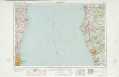 |
Midland MI |
Rockford IL, WI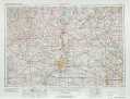 |
Racine MI, IL, WI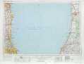 |
Grand Rapids MI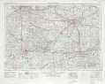 |
Aurora IL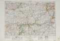 |
Chicago IN, IL, MI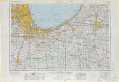 |
Ft Wayne IN, OH, MI |
> Back to U.S. Topo Maps home
1:100,000 Topo Maps covered by the spatial extent of this 250k map (Racine)
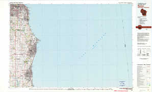
Racine WI, MI |
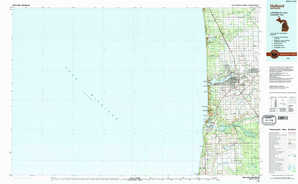
Holland MI |
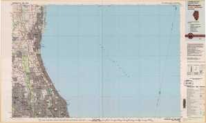
Waukegan IL, MI, WI |
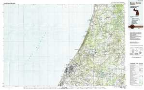
Benton Harbor MI |