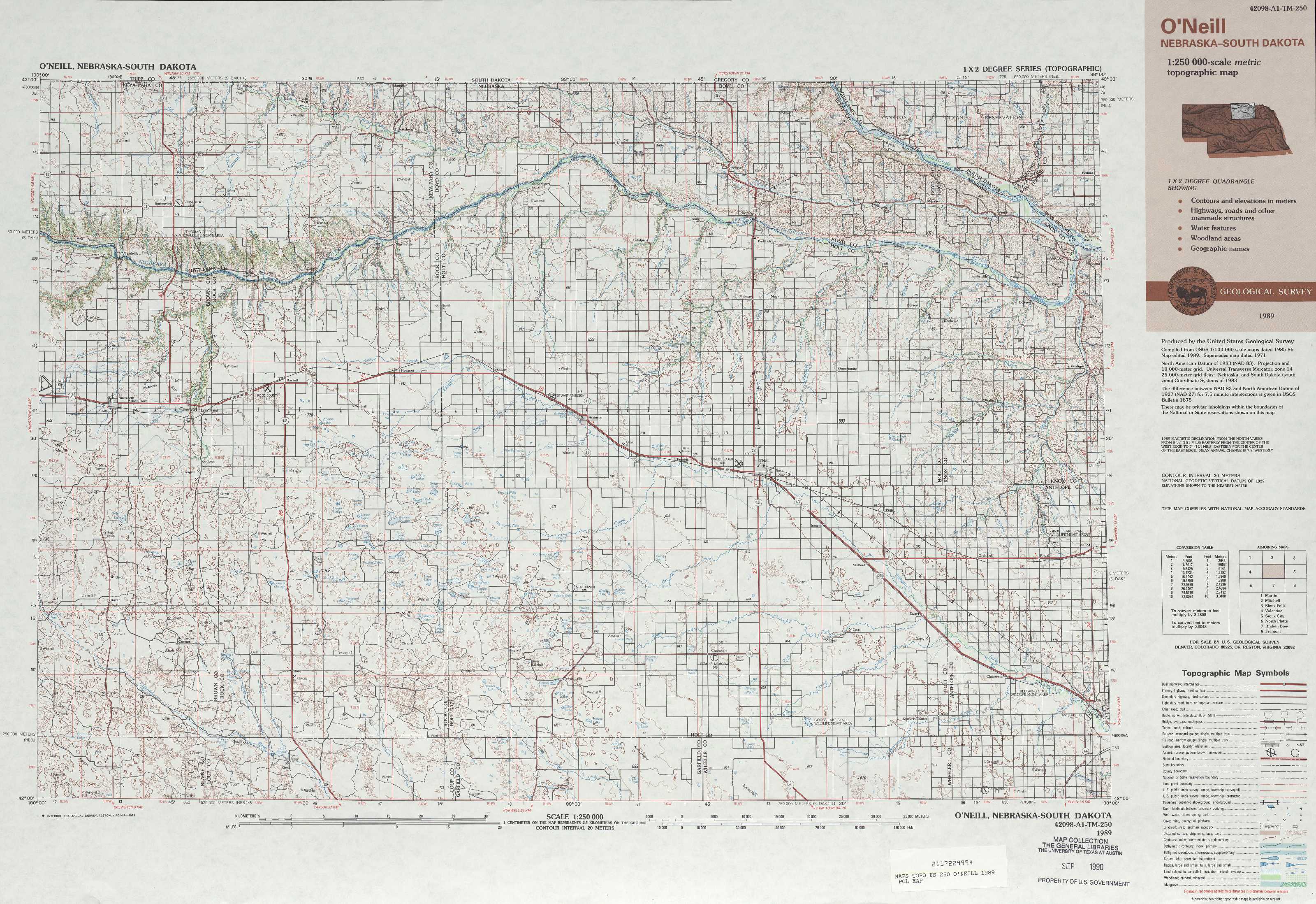
O'Neill Topo Map Nebraska
To zoom in, hover over the map of O'Neill
USGS Topo Map 42098a1 - 1:250,000 scale
| Topo Map Name: | O'Neill |
| USGS Topo Quad ID: | 42098a1 |
| Print Size: | ca. 32" wide x 22 1/2" high |
| Southeast Coordinates: | 42° N latitude / 98° W longitude |
| Map Center Coordinates: | 42.5° N latitude / 99° W longitude |
| U.S. States: | NE, SD |
| Filename: | 42098a1.jpg |
| Download Map JPG Image: | O'Neill topo map 1:250,000 scale |
| Map Type: | Topographic |
| Topo Series: | 1°x2° |
| Map Scale: | 1:250,000 |
| Source of Map Images: | United States Geological Survey (USGS) |
| Alternate Map Versions: |
O'Neill NE 1955, updated 1974 Download PDF Buy paper map O'Neill NE 1955, updated 1974 Download PDF Buy paper map O'Neill NE 1959, updated 1959 Download PDF Buy paper map O'Neill NE 1969, updated 1969 Download PDF Buy paper map O'Neill NE 1989, updated 1989 Download PDF Buy paper map |
1:250,000 Topos surrounding O'Neill
Martin SD |
Mitchell SD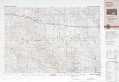 |
Sioux Falls SD, IA, MN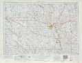 |
Valentine NE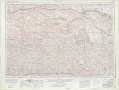 |
O'Neill NE, SD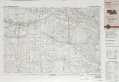 |
Sioux City NE, IA, SD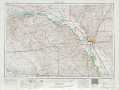 |
North Platte NE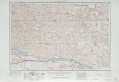 |
Broken Bow NE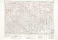 |
Fremont NE, IA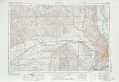 |
> Back to U.S. Topo Maps home
1:100,000 Topo Maps covered by the spatial extent of this 250k map (O'Neill)
Ainsworth NE, SD |
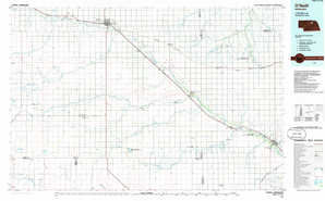
Atkinson NE, SD |
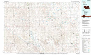
Rose NE |
O'Neill NE |